
Late night models now love snow Monday night. Dusting? Will have more in the morning. 👍🏽.
David
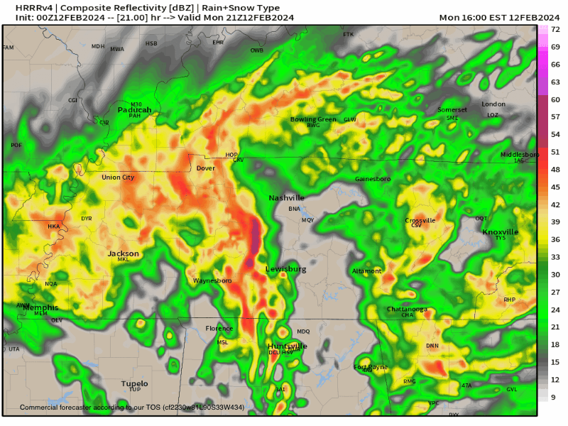
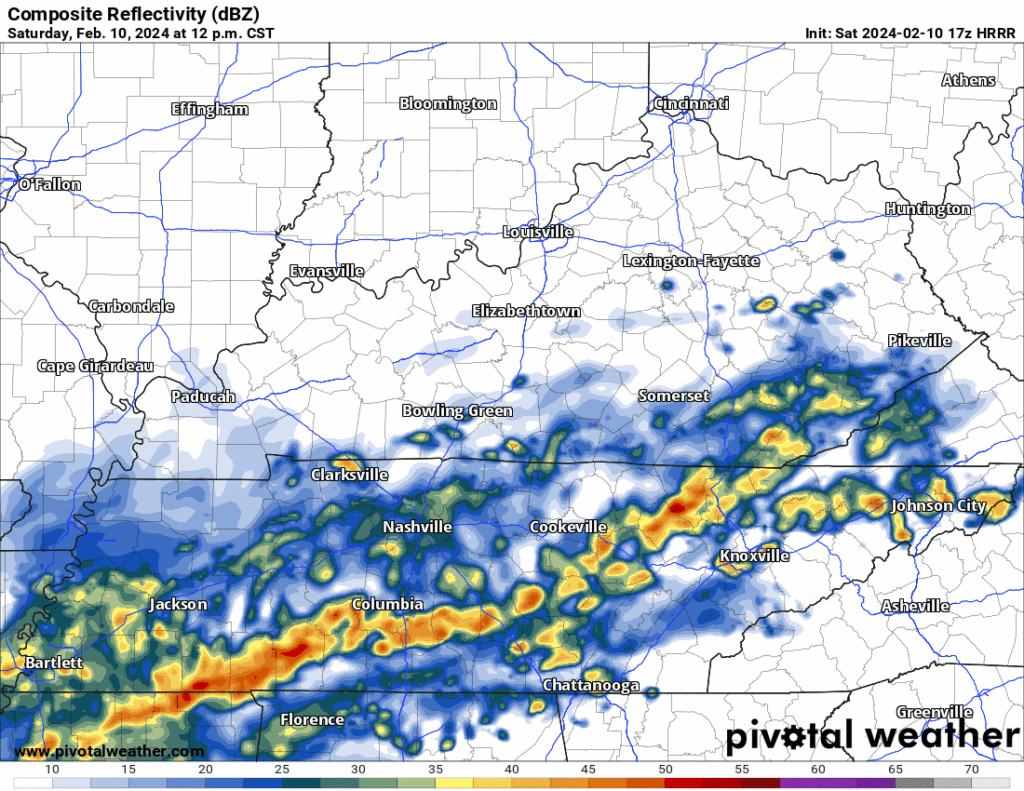
Wild Monday. Rainy lunch. Heavy rain/storms 3 PM – 5 PM. Then a lull. Then evening rain to snow. No impacts (splat:melt). Timing via HRRR model 👇🏽.
Squashing Snow Rumors.
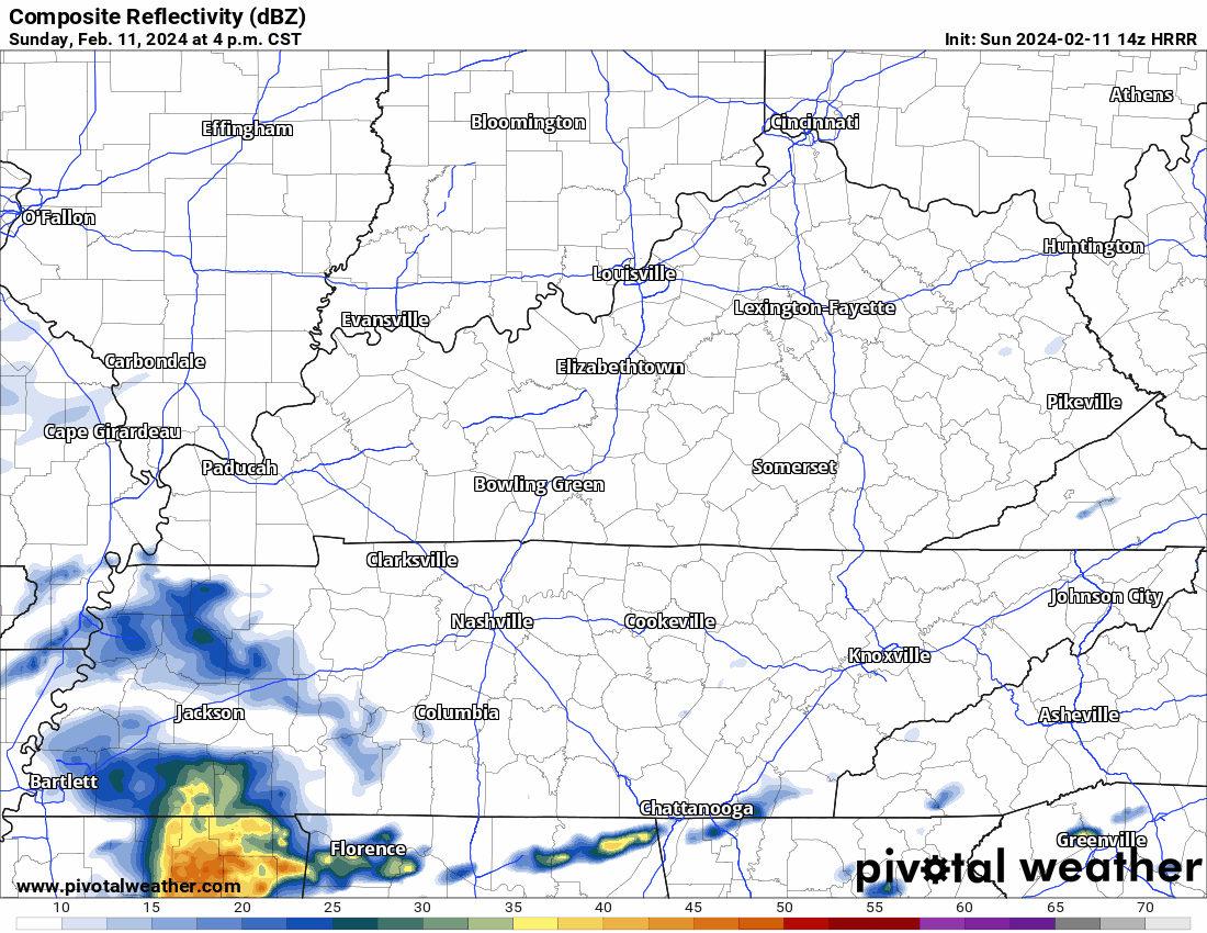
Rain misses us south during the Buper Sowl (I don’t think you’re allowed to say it unless you’re an official sponsor which we are /checks notes/ not). HRRR model below.

Monday
Surface low – the 997 red R below – passes overhead. Off/On morning and afternoon rain. No flood concern.
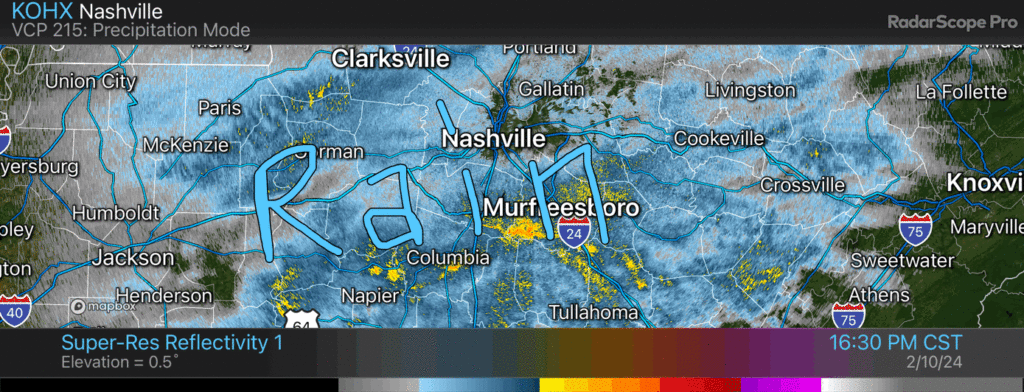
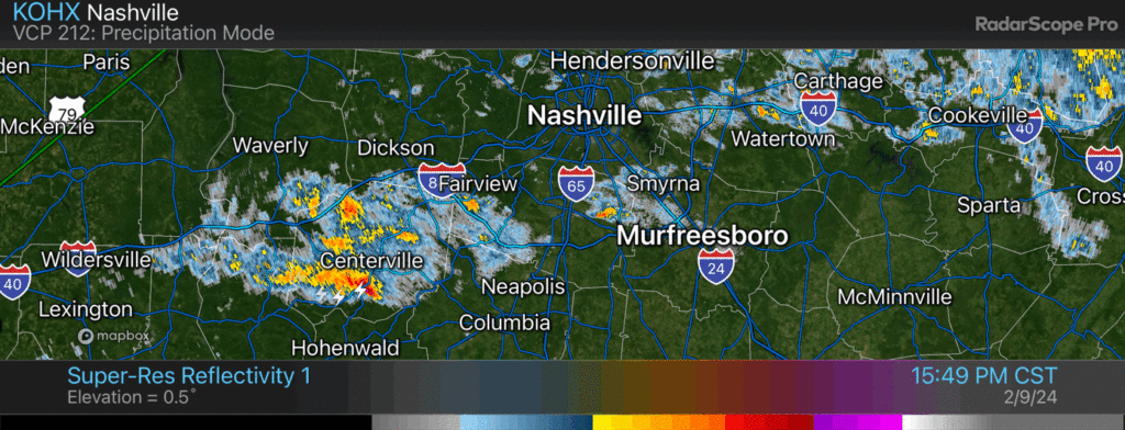
See this rain radar image in the voice of bugs alarmingly exclaiming concern about incoming RAID bug spray. Gasp RAAAAID!!! / 537 PM
Muddy Saturday
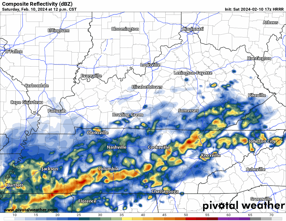
HRRR model keeps rain coming through 2 AM – 3 AM Sunday. Few thunderstorms possible. Mostly rain tho. No severe concerns.
Rain totals 0.65″ north Davidson to around 1.75″ south Williamson. No flash flooding concerns. Will reduce drought.
Lightning down in Will Co, Rainy morning. No severe concerns. 840 AM
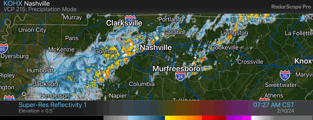
Rain, lightning advancing into Nashville. No other concerns / 514 PM

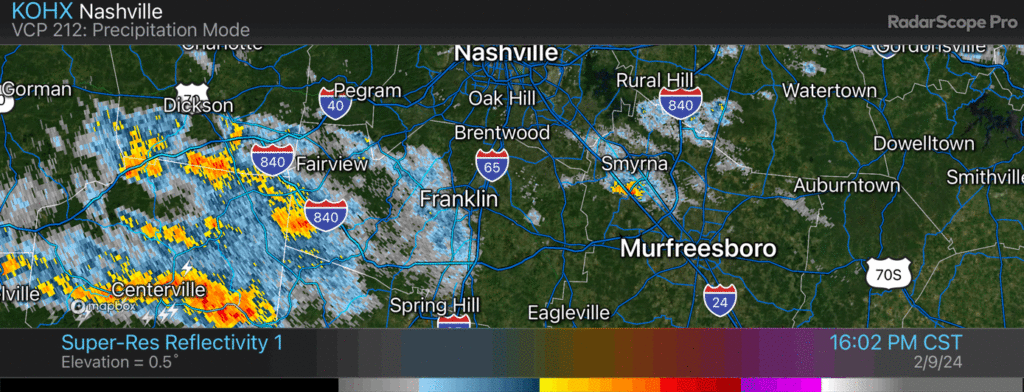
Lightning has not amused loved local dog. Bro shaking, heart rate elevated.

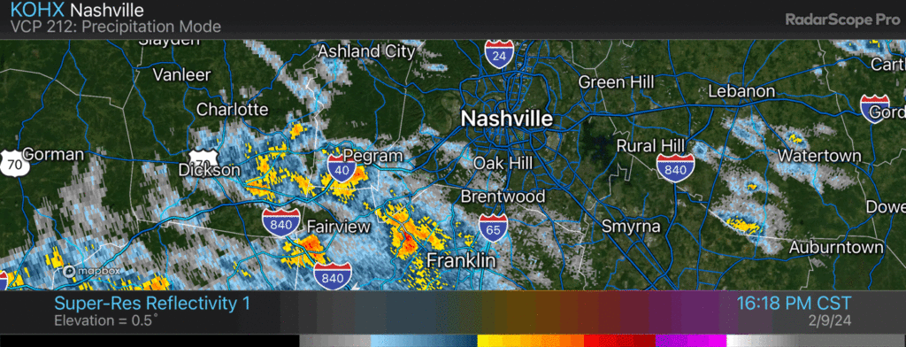
Window rattling thunderstorm pulling up to Nolensville and Cane Ridge 453 PM
Positive lightning strikes near Franklin sure to rattle homes and upset local dogs. No other hazards. 439 PM
You must be logged in to post a comment.