
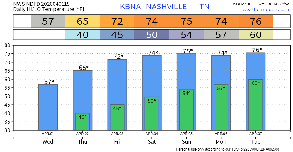
Cool Day Monday
After our noisy, gusty system (gusts to 36 mph at BNA overnight) exits to the NE, we’re left on the cool side. Stiff NW winds will keep us in the 50s for highs today. No rain is expected.
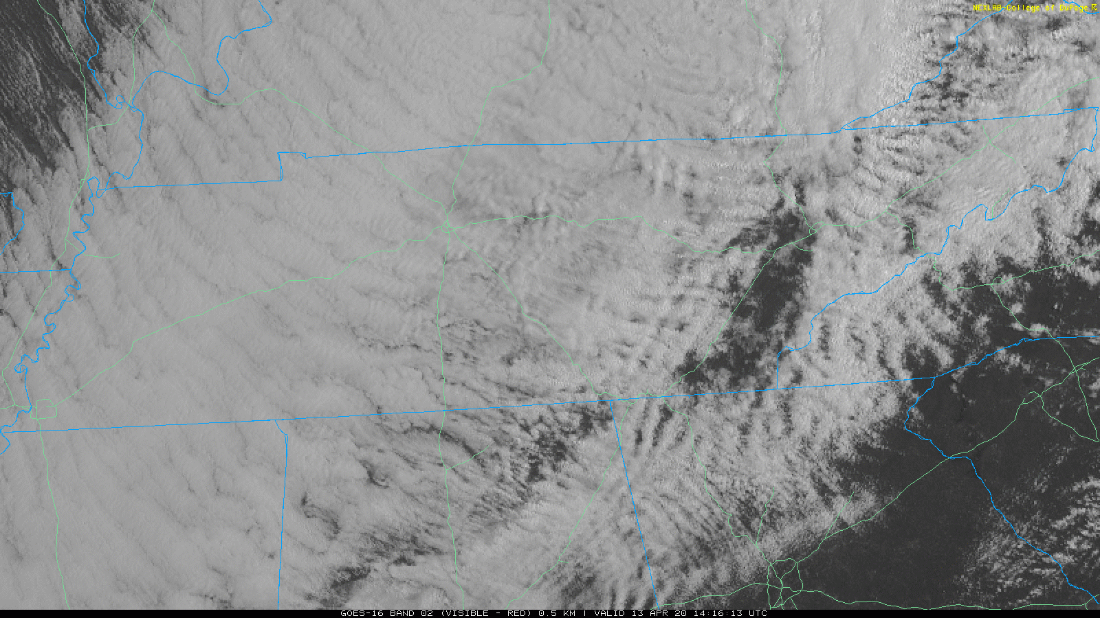
Clouds will hang around for a while, but a clearing line is slowly making its way our direction from the NW.


You must be logged in to post a comment.