
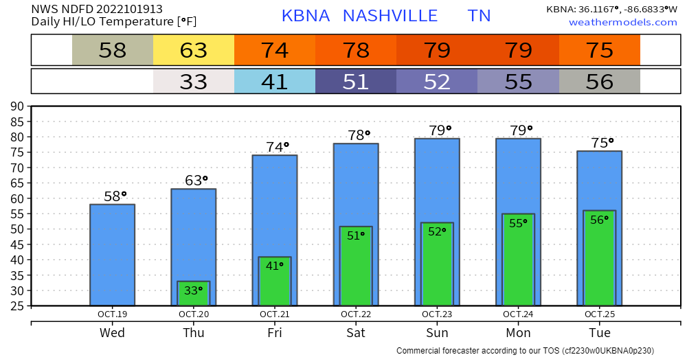
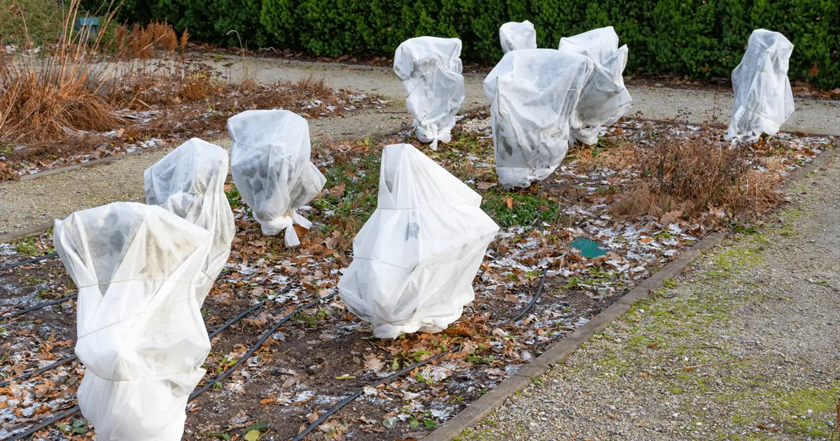
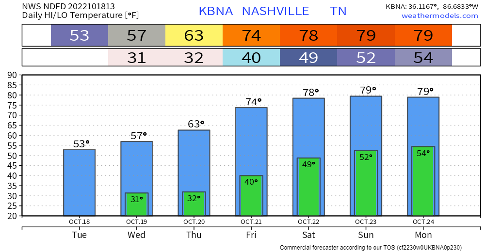
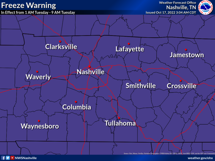
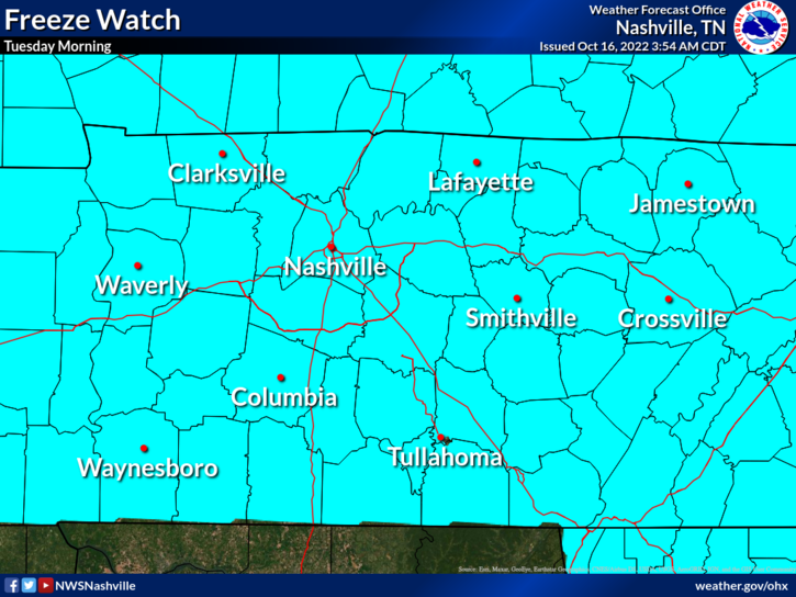
BNA did not hit freezing this morning but BNA runs hot. Most dropped unburrrr1️⃣ 30°. My backyard went sub 29°. Expect a repeat Thursday morning then temps rise 👇🏽
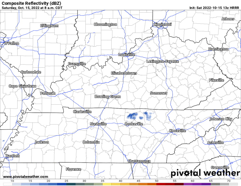
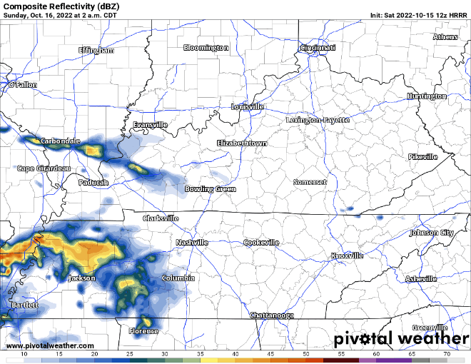
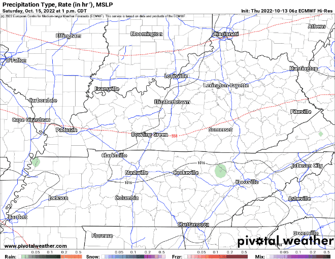
Rain?
Tuesday Oct 25 to Weds Oct 26 begins next rain chance. Euro mean says around 0.5″ or so total by late next week.


You must be logged in to post a comment.