Rain on the Way, Barry the Reason

Friday

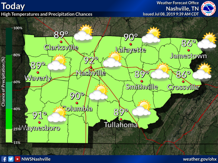
Happy Friday everyone! Classic July afternoon today.

A hot and humid afternoon, high of 91° with sweltering dewpoints in the low 70s.

Heat index will be in the upper 90s again so hydrate.

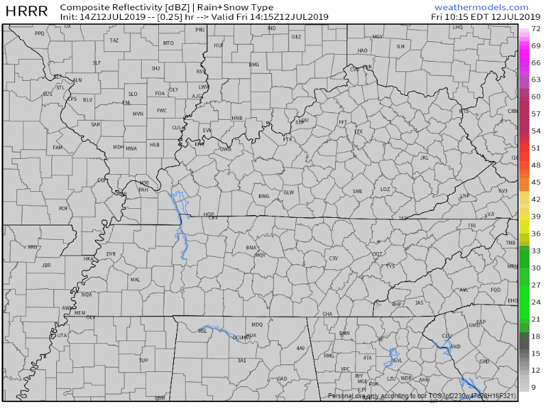
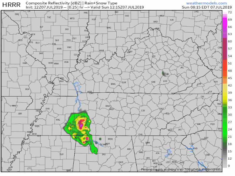
There’s a small chance of a couple pop-up showers, especially south of I-40. HRRR model predicts most showers south of the city: read more

Chance of Showers and Storms this Evening; Continued Weekend Uncertainty

Hot and humid weather continues. A weak frontal boundary will be moving through today, increasing our rain chances. The biggest forecasting challenge is through this weekend, associated with the next Atlantic tropical system. read more

Showers/Storms thru Thursday; Friday Relief; Weekend Uncertainty

Wednesday

Showers and storms do exist in the forecast today.

The HRRR model shows them firing up later this afternoon:

The NAM3 is a bit calmer, but still shows a shower passing over in the late afternoon:

read more

Hot and Humid Today and Tomorrow, Strong Storms Possible Thursday

Tuesday

Today and the next few days are going to be hot. As high pressure continues to move over our area, we’re going to steer mostly clear of showers this afternoon area wide. Temperatures will be up in the mid 90s, mostly sunny. We’re going to need to keep an eye on the heat index values. The high temperatures accompanied with the dewpoint values in the low 70s, heat index values will creep above 100°, even to just below the 105° range. Heat precautions are going to be needed so keep these tips from the NWS in mind: read more

Typical July; Hot & Humid, With Afternoon Pop-Up Storm Chances Decreasing

As we move into the second week of July, we continue with our average summertime weather. Hot, humid, somewhat miserable outside, with a chance of pop-up storms during the afternoon.

Monday

Our high should top out at around 92°F today, with dew points in the upper 60°s. Heat index in the upper 90°s, perhaps scratching triple digit territory. read more

Possible Showers Today, Clear Start to the Week (probably), Rain Chances Return Thurs

Sunday

Rain currently southwest, south, and southeast so far, but we could also see some showers today.

HRRR model predicts afternoon and evening scattered showers:

Some scattered storms later Sunday afternoon will be capable of heavy rain and strong winds, so have a backup plan in case you’re spending the day outside and find yourself under one of these pop-ups. read more

Showers and Storms This Weekend, Drier For Next Week

Saturday

If you’ve been around Middle Tennessee the past few days, you probably have a good idea of what today is going to look like. We’ll start off partly sunny through early afternoon, temperatures quickly rising to a high of 89°. Grab the hairspray for your plans as well, dewpoint values will be in the mid 70s so it’s sure to be a very sticky one outside. read more

Increased Rain Chances This Weekend, Hot and Humid Next Work Week

Friday

Happy Friday! Temperatures this afternoon will reach 88° for the high. Unfortunately, we have some pop-up storms in store for us this afternoon to end off our work week. The HRRR model shows these showers popping up between 12pm-2pm today and finally clearing out around midnight: read more

Scattered Showers on the 4th, Rain Chances Remain through the Weekend

Independence Day

Unfortunately, we are looking at more possible showers and storms today.

Here’s the HRRR model:

The NAM3 shows much less development. Don’t count on this. We can hope for the NAM3, but to be on the safe side, I’d prepare for the HRRR today. read more

Rain, Rain, and More Rain Chances

Wednesday

Today we can expect mostly cloudy skies and a high of 92°, though heat index will make it feel like 98°.

The HRRR model shows scattered showers and storms beginning later this afternoon around 2pm:

read more