Hot, Humid, Pop-Up Storms Today, Fewer Storms This Weekend

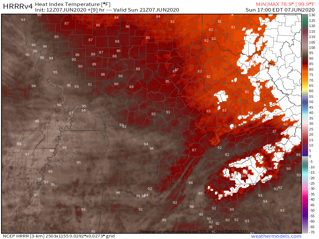
Couple degrees cooler this afternoon because of more cloud cover. Highs only around 93…

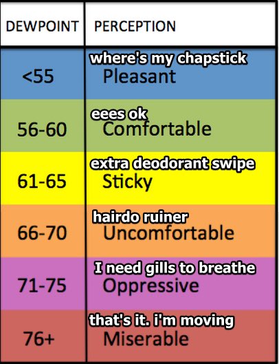
But it’s still oppressively humid.

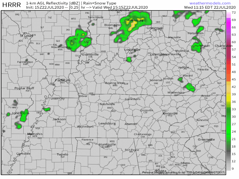
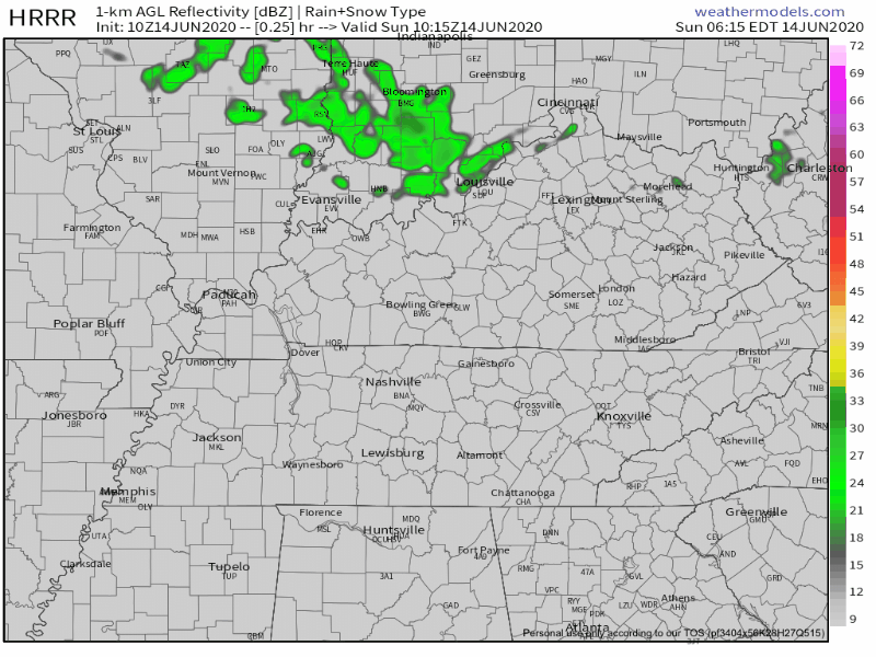
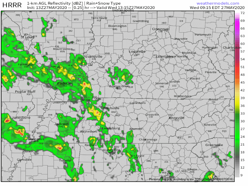
Already East Nashville, Fontanel, Riverwalk are in-line for storms. Will it storm in your backyard? Maybe or maybe not. HRRR Model thinks someone will get the water balloon during the afternoon/evening hours. read more

Oppressive Humidity, Maybe a Passing-Cool-You-Off Shower

Hot and humid weather will be the theme for this blog.

Highs Friday will be around 95 with a heat index in the low 100s. read more

More Storms Possible Sunday Evening, Hot/Dangerous Heat Indices Mid-Late Week

Busy start to the day already with severe storms and a wake low

Unfortunately, more storms are possible later this evening.

Threats

SPC has the entire area under a 5% chance of seeing severe winds within 25 miles of a point. read more

(Strong) Storms Sunday, Heating Up Next Week

Warm Saturday with lower dew points: mid to upper 60s instead of 70s

Stormy Night Into Sunday

SPC has our area in a 5% risk for seeing severe gusts within 25 miles of your location.

SPC Day 1 Outlook

Note: the above outlook is valid until 7AM Sunday. read more

Heat & Humidity, Few Storms Possible, & a Look at the Week Ahead

Storms are ongoing in Kentucky as I write this. Those storms will miss us, but they may send south cold air which can trigger us some rain and thunderstorms this afternoon. It’s iffy tho, let’s dive in: read more

Heat & High Humidity This Weekend, Rain Returns Sunday/Monday

Wednesday

Today will feature similar temps to yesterday, maybe a touch warmer from low to mid 80s. Dew points will be a bit higher with upper 50s likely:

Showers (if they even make it this far west) will be very few and far between. The HRRR Model (below) shows a few brief specks moving through the Mid-State: read more

Awesome (Passing Shower?) Sunday, Hotter Next Week, Sweaty, Muggy Late Week

Mid 80s this afternoon, the comfortable humidity continues.

A few passing afternoon showers or storms may try to swing in from the north. The HRRR Model (below) shows this scattered activity.

HRRR Model through 3PM

This activity will be short-lived so no severe weather or flooding concerns read more

Hot & Dry Sunday. Cristobal-Blamable Things Monday-Tuesday. Then, Good News?

If you liked the air-you-can-wear weather we felt Saturday, Sunday won’t disappoint. High today 93 with heat index around 95.

Here’s the heat index from the HRRR Model, suggesting mid 90s. Remember these numbers are in the shade. read more

Heat, Humidity, Maybe Storming Again Thursday, & A Look at Cristobal.

Hot/Humid Wednesday

Highs will be around 90 with dew points hovering between sticky and uncomfortable.

Few more clouds than Tuesday but rain chances still remain low. The HRRR model thinks rain and a few nonsevere storms will are possible on the fringes of Middle Tennessee, but nothing impacting us. read more

Fantastic Weekend, But First: Rain Today and Tonight, Thursday Low-End Severe Storm Threat.

Wednesday

Off and on rain this morning will hang around this afternoon. A few thunderstorms may be embedded in the afternoon rain, but high winds, hail, and tornadoes are not expected locally.

WPC thinks we may see up to 1″ of rain in some spots through 7 AM Thursday: read more