

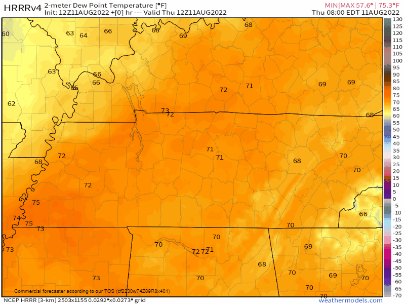
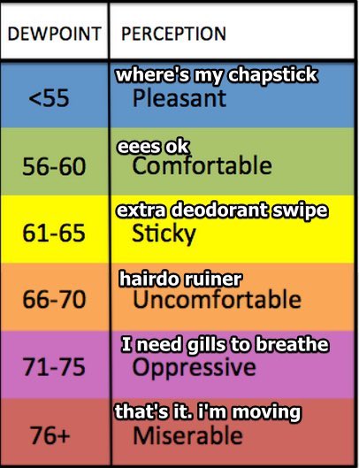
70°+ dewpoints are oppressive and we’ve been stuck swamping in them for weeks. Including this morning.
SOON, THEY GONE!
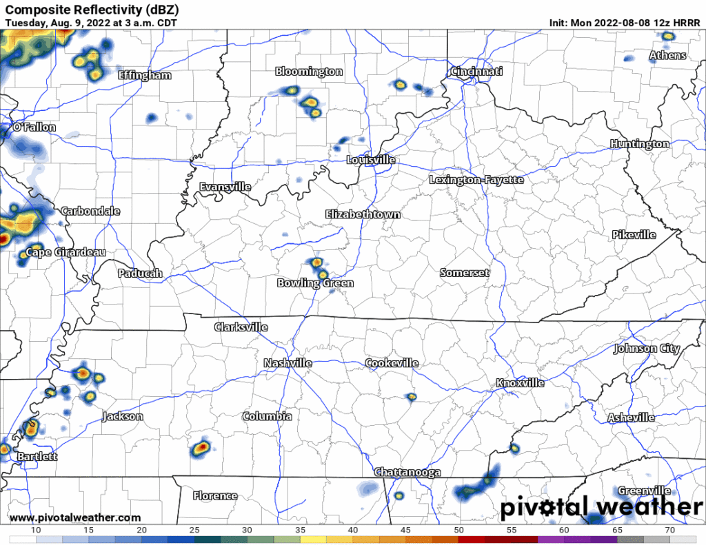
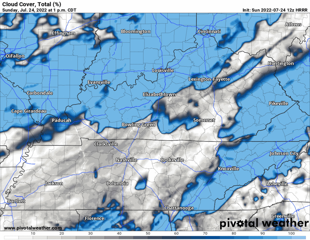
First, we have to dodge a few mid-day downpours:
- HRRR model has more showers (see below).
- NAM3 and other convective models have fewer showers covering less of us.
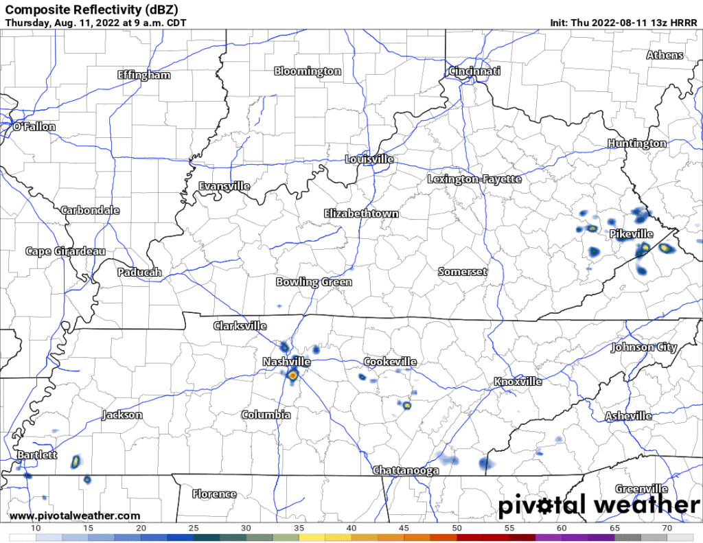
- Cannot totally rule out a few lightning strikes but think this is mostly a rain event, and only for some of us.
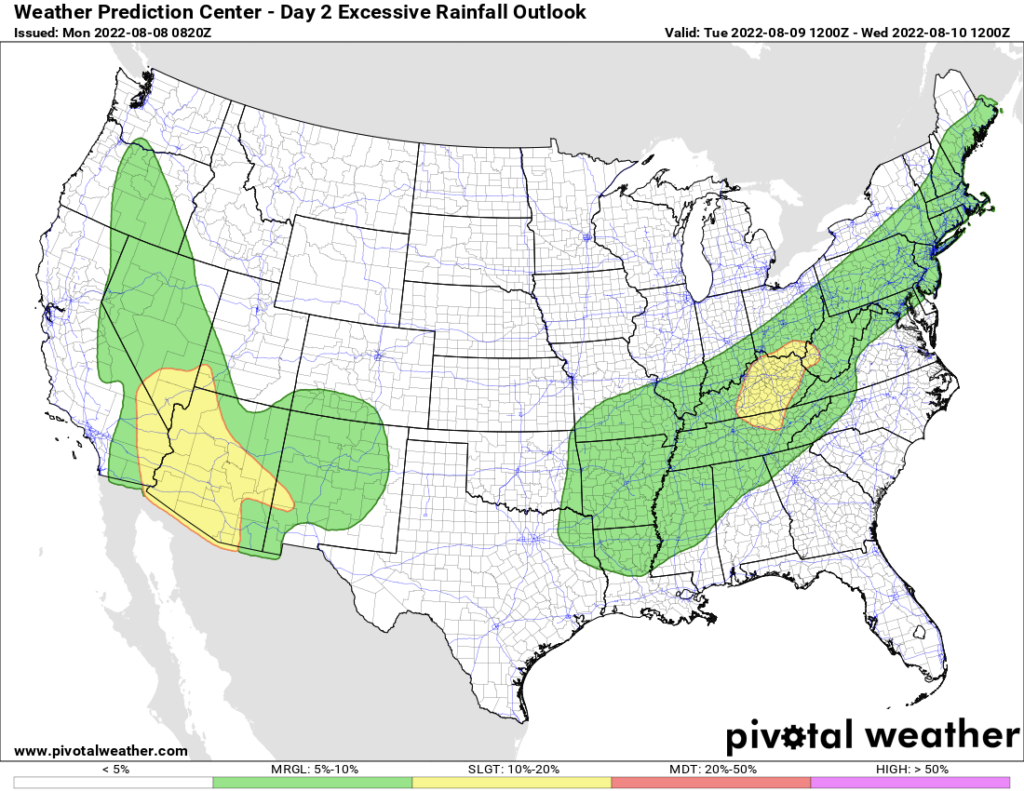
After today, it won’t rain much for a while.
- Humidity will drop. It’ll take a while for north winds to deliver that crisp(er) air from Indiana and Ohio.
- By Saturday you’re going to be doing popular tik-tok things with your friends.
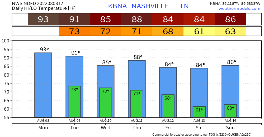
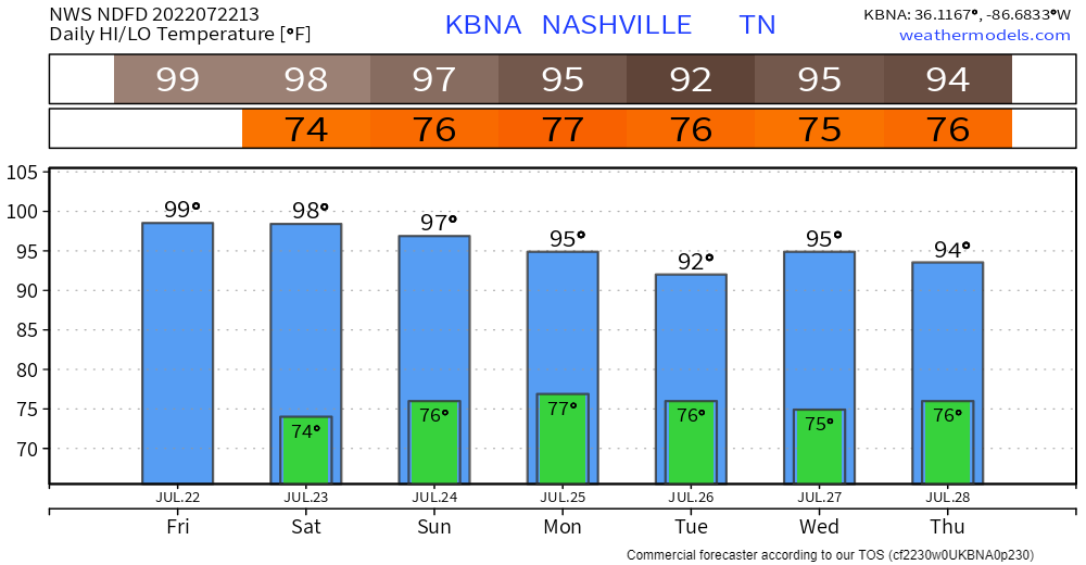
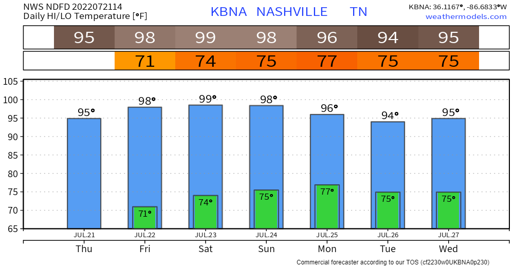
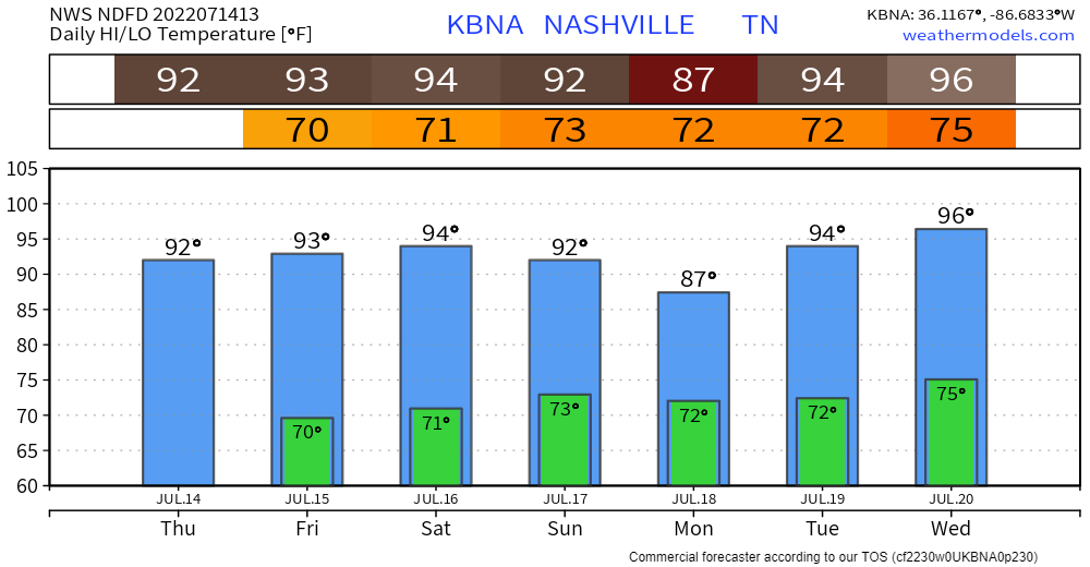
- Watch the swamp get pushed out:
- We go from Oppressive to Comfortable/Sticky for at least about a week or so.
Check out those cool low temps:


You must be logged in to post a comment.