The Weekend: Wet, But Not Ruined

The models keep things pretty quiet today through tomorrow morning. Here is the RAP model from Thursday night through Friday morning at 10am:

Friday – 63/78

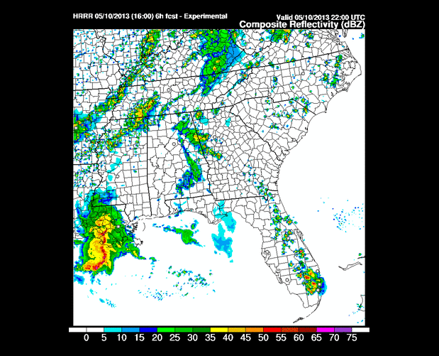
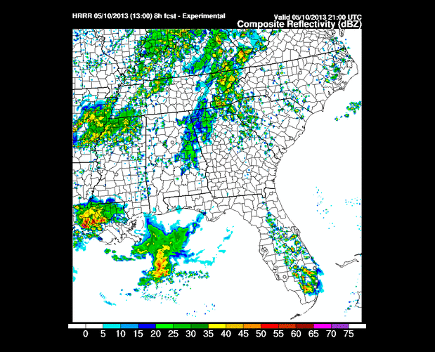
The weather models (Euro, GFS, NAM and WRF) deliver scattered rain showers in and around us most of the day Friday and into Saturday morning, all thanks to a “shortwave trough” (low pressure) that’ll truck on through. read more

Rain Chances Return + (uh-oh) Another Wet Saturday?

Thursday – 62/82

All four weather models (GFS, NAM, Euro, WRF) scatter light rain through middle TN during the afternoon and evening hours. These will be hit/miss showers – meaning we may or may not get wet. The odds of us getting wet are around 1 in 3. There may also be a few thunderstorms, but severe weather is not expected. read more

It’s a Dry Heat; Rain Chances Thursday-Friday

Today we’ll top out around 84°, rain free, with very little humidity. Be careful, though, the sun can still burn you. The winds are picking up, but are comfortably under advisory criteria.

Wednesday – 59/87 read more

Next Few Days: Dry & Warming Up. Chance of Rain Thursday.

Our NWS is so confident we won’t see rain through Wednesday that they’ve taken down the radar for maintenance.

radarcoverphoto

Tuesday 49/83 & Wednesday 59/86

Heat will start to build, but the humidity won’t be that bad. read more

Awesome Weather Ahead, Especially If You Like Frosty Monday Mornings

Mother’s Day – High of 65

A gorgeous day!

Monday – 38/70

NWS has issue a extremely-rare-for-May Frost Advisory for overnight (early Monday morning):

...FROST AND RECORD BREAKING LOW TEMPERATURES EXPECTED TONIGHT... .AN UNUSUALLY COLD HIGH PRESSURE SYSTEM WILL SETTLE ACROSS MIDDLE TENNESSEE TONIGHT. CLEAR SKIES AND LIGHT WINDS WILL ALLOW TEMPERATURES TO DROP INTO THE MID TO UPPER 30S FOR MUCH OF THE MID STATE. SOME PARTS OF THE UPPER CUMBERLAND REGION COULD BRIEFLY DROP CLOSE TO FREEZING AROUND DAYBREAK. AREAS OF FROST ARE EXPECTED TO DEVELOP. TEMPERATURES WILL WARM UP VERY QUICKLY MONDAY MORNING THANKS TO STRONG MID MAY SUNSHINE. read more

Most of the Rain is Gone - Only a Tiny Chance of Rain Remains

Today – High of 70

The ground is wet. Yesterday we got 0.36″ at the airport. Still waiting on official totals, but it looks like Williamson Co got more rain than Davidson.

At 5:44 am this morning, the only rain anywhere close to us was in east Tennessee, moving away: read more

Off/On Rain Tonight. Clearing Out Tomorrow. Beautiful Sunday.

Tonight

The HRRR is still calling for periods of rain between 4pm Friday and 2am Saturday:

The HRRR has been overdoing the precip all day, and I expect that trend will continue tonight. We had 0.8″ forecast, but only 0.31″ is in the can now. More to come tonight (as you can see above). I think we will end up around 0.4″ to 0.5″. read more

Off/On Rain Tonight. Saturday Looks (Mostly) Rain-Free

Today – High of 72

Expect off and on rain. This is what the HRRR thinks the radar will look like from 4pm to 11pm today.

The Hi-Res NAM thinks the radar does this between 10am today and 4am Saturday (each frame = 3 hours): read more

Rainy Friday, Drying Out Saturday (We Hope!)

With Steeplecase, Fiddin’ Fish 5K, a HUGE soccer tournament in Williamson County, ball games, parties, graduations, etc. happening this weekend, we’re all wondering: will it rain?

The best forecast comes from the NWS – Nashville. They consider all the models (which I detail below), and comes up with a consensus, intelligent, and reasoned forecast (in my opinion, anyway). read more

Soggy Steeplechase, But It Might Not Be Raining

Tonight

Pop-up afternoon storms should diminish after dark. The HRRR thinks a few showers may survive sundown and arrive from NW TN around 5am.

Thursday – 58/83

We will wake up to fog in the usual spots.

Daytime heating may set off scattered showers and thunderstorms Thursday afternoon through sundown. These will be of the hit or miss variety. read more