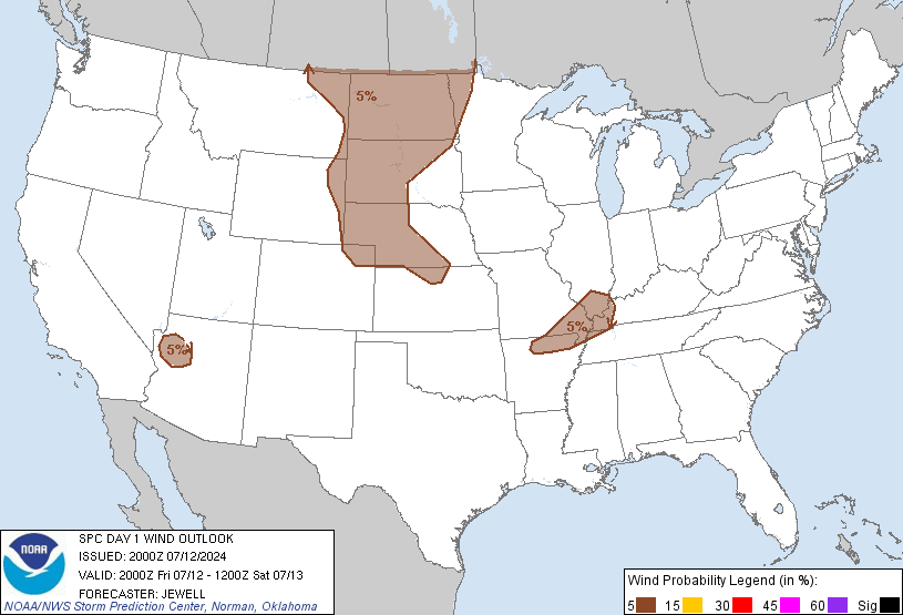
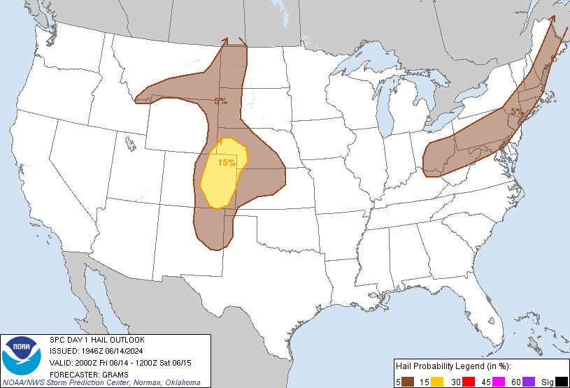
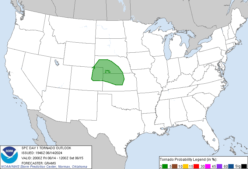
The 8 p.m. update from the Storm Prediction Center has arrived. They’ve put us within the following probabilities of “x” happening within 25 miles of you tonight:
Damaging Winds (58 mph or more): 30%. Notice we’re in the bullseye.

The 8 p.m. update from the Storm Prediction Center has arrived. They’ve put us within the following probabilities of “x” happening within 25 miles of you tonight:
Damaging Winds (58 mph or more): 30%. Notice we’re in the bullseye.
The 3 p.m. update from the Storm Prediction Center was largely unchanged for us. The probabilities of “x” happening within 25 miles of you today:


Afternoon thunderstorms (previously advertised as “Round 1”) haven’t developed as predicted by weather models, likely due to a “cap” up in the atmosphere preventing a large amount of thunderstorm energy from being released. Also limiting afternoon thunderstorms has been some “mixing,” causing drier dewpoints to come on down . . .
The lunchtime outlook from the Storm Prediction Center says a mesoscale convective system (“MCS” – a bunch of thunderstorms moving together) “is expected to propagate southeastward into/through the central/southern Appalachians and Tennessee Valley by late evening.” That’s us!
Today we’ll feel high humidity and temps topping out in the low 90s, but the main concern is the possibility of severe weather this afternoon and tonight.
Before I dive into the weather models, remember: weather models are useful tools for guidance. They are not Gospel. They are often off by hours, or “wrong” altogether.
This Afternoon & Tonight – Still Might Storm
We’ve already hit 90 today. We may hit 91. Keep in mind all these temps are measured in the shade.
The dew point has remained around a miserable 70. Heat indices should approach 95.
Yeah, this was also my experience.
WARNING: Some weather stuff is explained, below. If you don’t care about learning no science and just need your forecast for the next three days, I wholly respect that, here you go:
This morning at 11:30 a.m., the Storm Prediction Center (SPC) wrote that our atmosphere
appears favorable for a cluster of storms to evolve in one or two bands that could include embedded supercells/bowing segments with large hail and . . . especially later this afternoon . . . damaging wind.
This morning at 11:30 a.m., the Storm Prediction Center (SPC) wrote that our atmosphere
appears favorable for a cluster of storms to evolve in one or two bands that could include embedded supercells/bowing segments with large hail and . . . especially later this afternoon . . . damaging wind.
Morning & Afternoon – High 82
At 7:00 a.m., Columbus, MS, radar showed storms entering SW Middle Tennessee:
By noon, the glamorous High Resolution Rapid Refresh Model (or HRRR, my favorite model) spreads in a lot of north-moving rain & thunderstorms from N Mississippi and Alabama:
Tonight – 72 at 10 p.m.
No chance of rain.
Sunday – High 84
Our National Weather Service wrote the following (in blue) to emergency management personnel and other CMA Music Festival organizers: