Nashville Severe Weather

Severe & Winter Weather Info and Forecasts for Davidson & Williamson Counties in Middle Tennessee

Sunday, May 17th, 2026

Menu

  • Home
  • Who We Are
    • About Us
    • Mike & Albree
  • Resources
    • Radar
    • NWS Nashville
    • What To Do: Tornado Watch vs. Warning
    • River/Creek Flood Stages
    • Taking Care of Storm Anxiety
  • Shop Merch
    • Store
    • Shopping Cart
  • Donate
  • Follow us on Twitter
  • Follow us on Threads
  • Follow us on Bluesky
  • Follow us on Instagram
  • Subscribe to our YouTube Channel

Hot then a Rain Chance

By Will on Saturday, May 16, 2026 @ 10:36 am • ( Leave a comment )

Great Weather, But…

By Will on Friday, May 15, 2026 @ 9:02 am • ( Leave a comment )

More Sunny Days

By Will on Thursday, May 14, 2026 @ 1:06 pm • ( Leave a comment )

Down Then Up

By Will on Wednesday, May 13, 2026 @ 4:48 pm • ( Leave a comment )

Spring and Summer in One Week

By Will on Tuesday, May 12, 2026 @ 8:14 am • ( Leave a comment )

Typical Spring

By Will on Saturday, May 9, 2026 @ 2:52 pm • ( Leave a comment )

One More Day of Rain Before A Beautiful Weekend

By Elan on Wednesday, April 10, 2024 @ 7:26 pm • ( Leave a comment )

We’ve been able to dodge a good bit of the rain today, but more is expected to move into the area tonight and tomorrow. Along with it, some gusty winds are possible overnight, not a bad idea to secure any outdoor furniture. read more

By Will on Wednesday, April 10, 2024 @ 4:26 pm • ( Leave a comment )

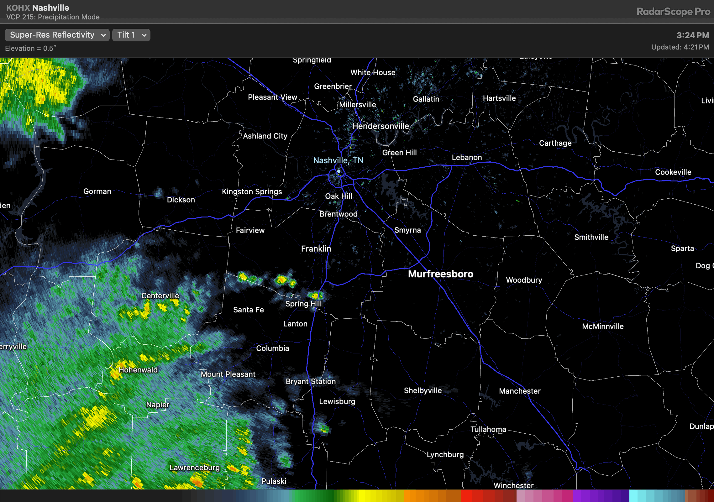
rain spinning in to S wilco might put the nail in the rolly ball practice/game coffin to tonight. radar at 425pm.

By Will on Wednesday, April 10, 2024 @ 12:21 pm • ( Leave a comment )

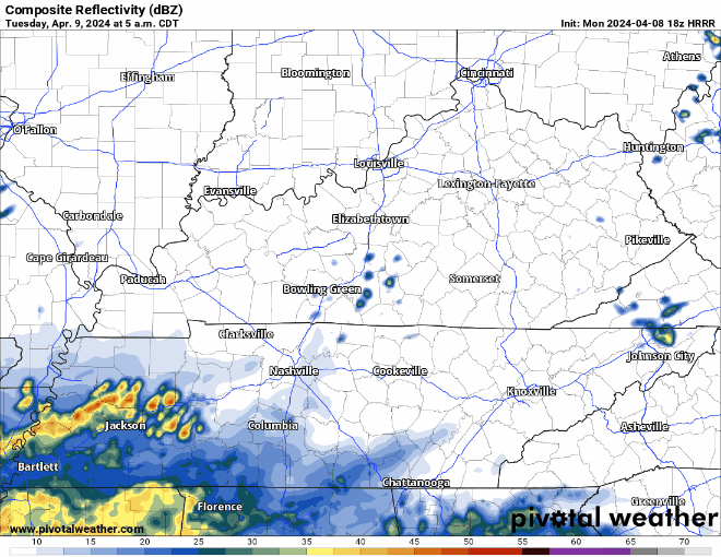
The HRRR expects rain to move up into our two counties by the afternoon. May slide east or west so local results may vary. If you have plans tonight, keep an eye on the radar.

On/Off Rain Thru Thursday, Low-End Chance of Severe Weather Wednesday and Thurs.

By Elan on Tuesday, April 9, 2024 @ 7:15 pm • ( Leave a comment )

Mostly dry evening in store, a shower or two can’t be ruled out though. A rain jacket or umbrella will suffice for any outdoor plans this evening.

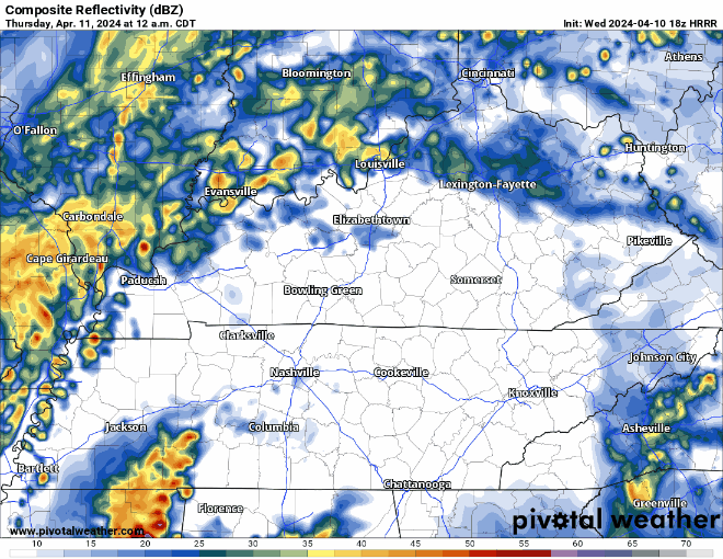
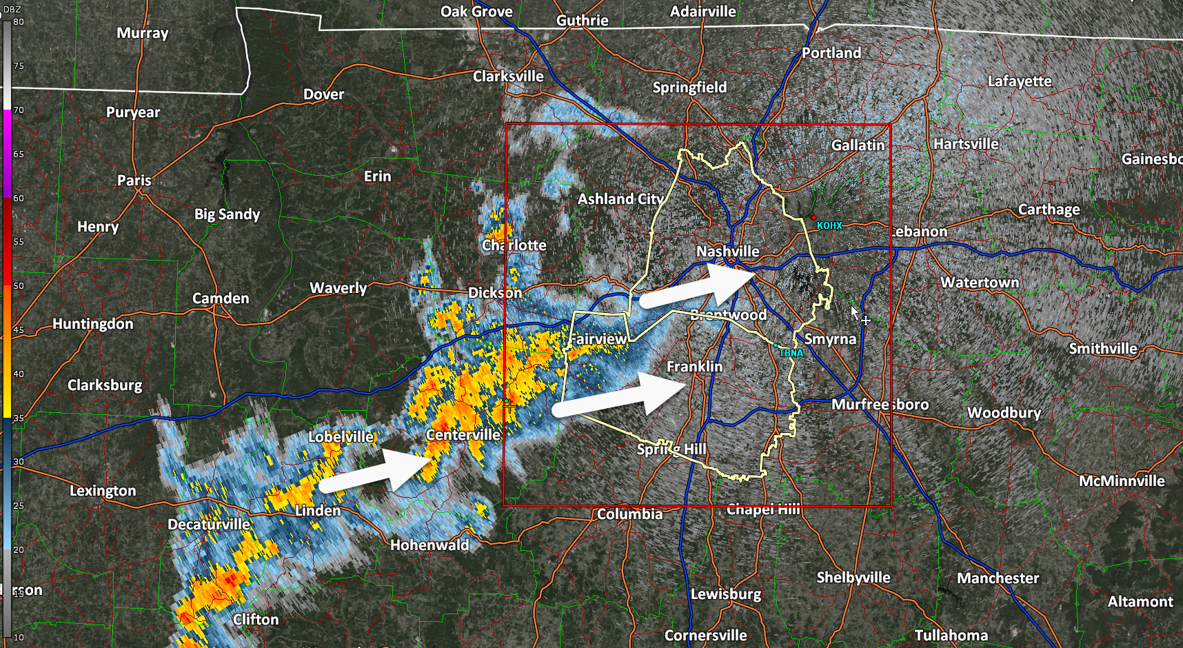
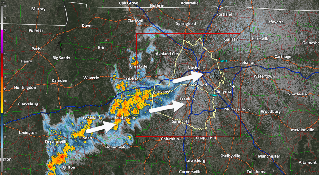
Wednesday we’ll deal with more rain/storm chances, a couple of storms could be on the strong to severe side. read more

By David on Monday, April 8, 2024 @ 7:35 pm • ( Leave a comment )

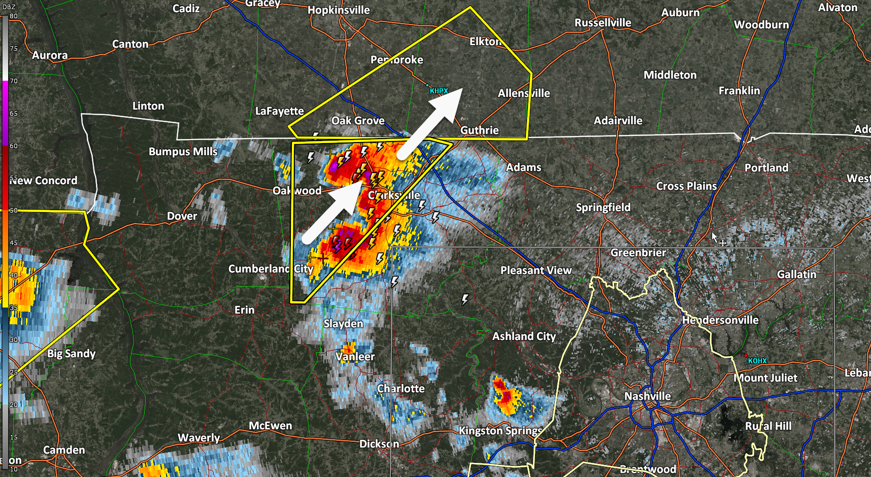
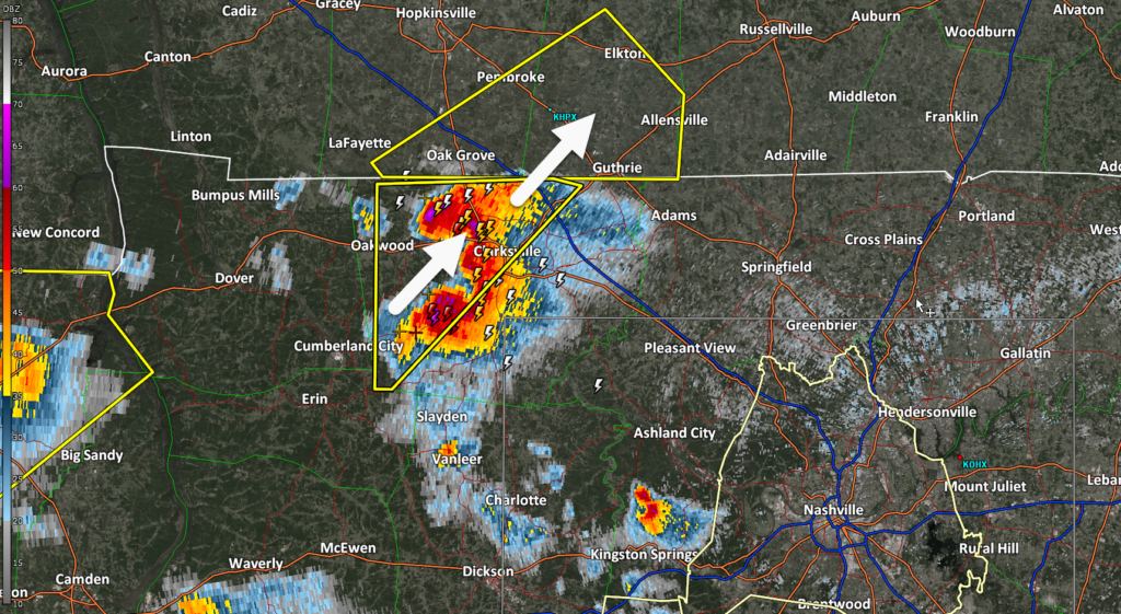
Travel Alert: Large hailstorm about to cross I-24 near Clarksville, TN/KY line. If you’re coming back from the eclipse and stuck in traffic there, maybe pull off. This storm is legit.

Lots of Rain Chances Thru Thursday, Maybe Too Much?

By Elan on Monday, April 8, 2024 @ 7:26 pm • ( Leave a comment )

Current hailers in West TN are expected to stay west of us, but a few showers/storms cannot be ruled out tonight. Some gusty winds and small hail aren’t out of the question, but storms are expected to remain below severe limits tonight. read more

By David on Monday, April 8, 2024 @ 1:02 pm • ( Leave a comment )

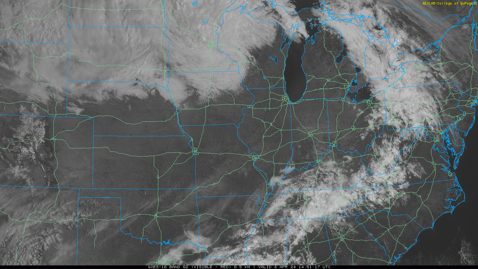
1:00 PM cloud update. Most of us will get Adventure Science Centered. Partial Local Eclipse in just over an hour.

By David on Monday, April 8, 2024 @ 12:12 pm • ( Leave a comment )

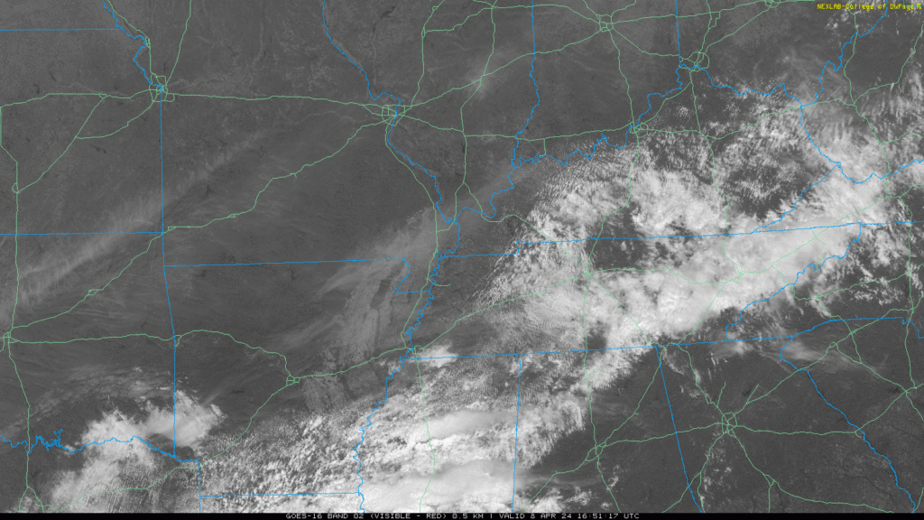
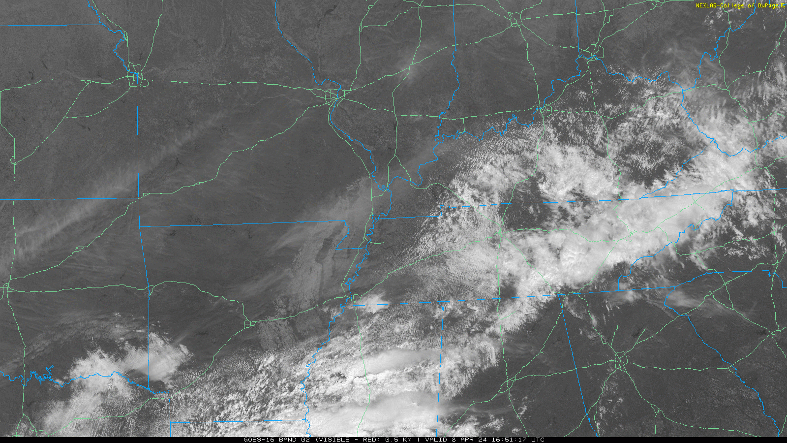
Noon cloud update. Partial eclipse in 2 hrs.

By David on Monday, April 8, 2024 @ 11:04 am • ( Leave a comment )

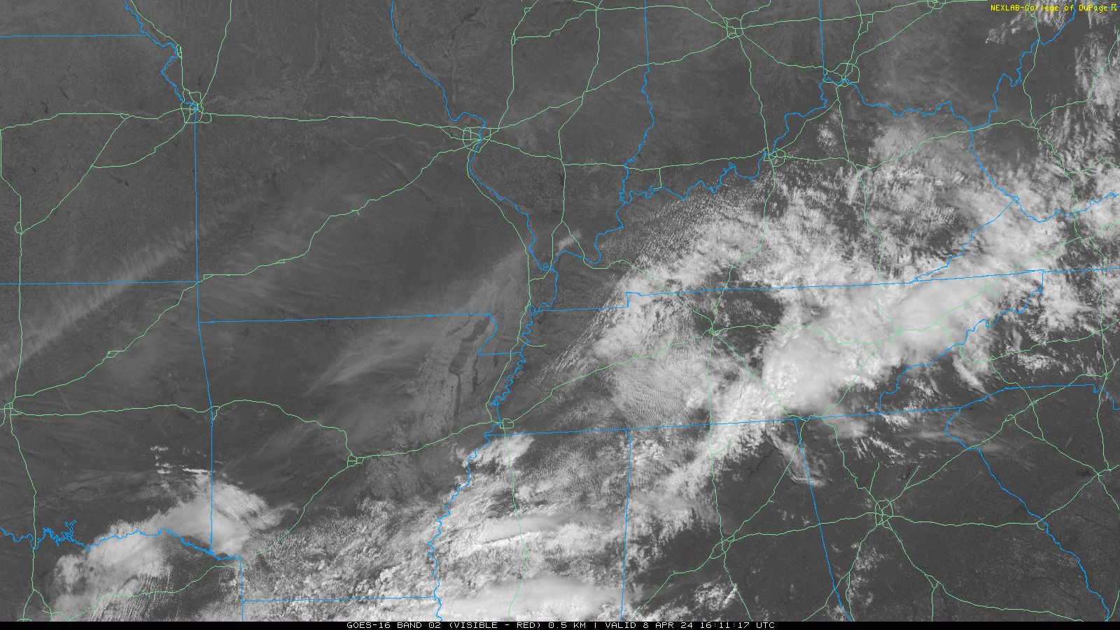
11 AM satellite update. Eclipse in 3 hours. 2:06 PM is what I’m reading.

By David on Monday, April 8, 2024 @ 2:06 am • ( Leave a comment )

No concerns. Go back to sleep. Rain, infrequent lightning coming through. Winds are fine. No hail. No chance of tornado. We good, fam.

Posts navigation

‹ Newer 1 … 73 74 75 76 77 78 79 80 81 82 83 … 561 Older ›

Subscribe to Blog via Email

Enter your email address to subscribe and receive daily forecast updates directly to your inbox.

Privacy & Cookies: This site uses cookies. By continuing to use this website, you agree to their use.
To find out more, including how to control cookies, see here: Privacy Policy
  • Top categories: Forecast Blogs (Legacy) / Featured Blog / Tweet
Proudly powered by WordPress | Theme: Broadsheet by Pro Theme Design.
 

Loading Comments...
 

You must be logged in to post a comment.