Will It Rain? Probably. But The Weekend is Not a Washout.

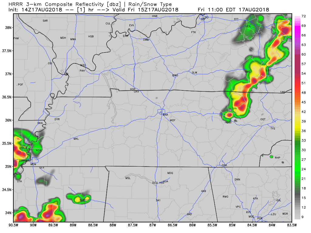
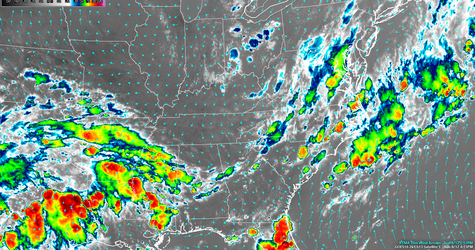
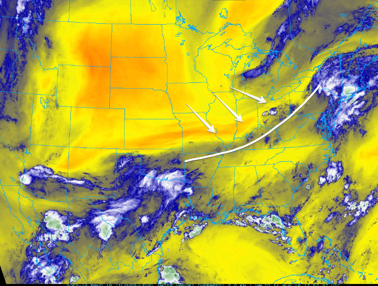
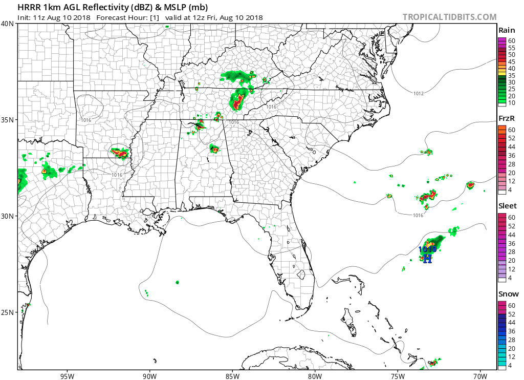
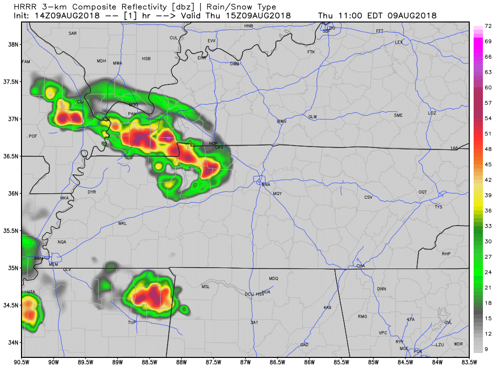
Afternoon sunshine will help fuel development of more showers and thunderstorms later today and tonight. Both NAM3 and HRRR models have waffled back and forth on this, but now both agree rain and a few thunderstorms will develop to our west shortly after lunchtime, then become widespread in the late afternoon and early evening hours. read more

High Humidity, Rain, with Storms Today & Tomorrow

Here Comes Rain, Storms Also Possible

High temps today will push into the low 90s with dewpoints in the low 70s. Humidity is oppressive. Models think precipitable water totals between 2″ and 2.5″ (not that it’ll rain that much) will arrive tonight, indicating arrival of a soupy, sweaty airmass. read more

Showers and Storms Return, Marginal Chance for Severe Weather

Today

The humidity and afternoon showers and storms return… back to reality, I guess. For the first time in a couple days, we will have showers in the area. Even though a majority of the rain will be north and west, we have a chance of seeing some here in Williamson and Davidson Counties. read more

Dry Today; Rain & High Humidity Return Wednesday; Humid & Rainy Weekend

Humidity Drop Today

Thanks to a continuing stream of dry air, dewpoints will be dropping into the upper 50s today. Sinking air is keeping clouds away, allowing the sun to warm us into the low 90s.

Isolated showers out west should not make it to us tonight, as the HRRR model below shows. read more

Tranquil (No Rain) Short Term, then Active (Rainy) Long Term

Long story short: Hot, lower humidity, no rain chance until Wednesday. Morning dewpoints in the mid 60°s, dropping into the low 60°s in the afternoons.

Afternoon high temperatures will be in the low 90s with morning lows in the range of 68º-72º. The average high for this time of the year is 88º. read more

The Week Ahead: Dry Start, Wet Finish

Dry air arrived early this morning, and settled in this afternoon:

Colors indicate cold clouds tops (rain and storms). Grey is dry and clear.

Early Morning Fog Again

The temp and dew point temps will be close together, so watch out for fog in usual spots near bodies of water. read more

A Few Quiet Days Dome Conspiracy Theorists Will Love; Rain Chances Return Late Wednesday/Thursday

This morning, a frontal boundary parked south of us. We’re on the northern, dry side of it. Behold mid-level infrared satellite images this morning. The coral, orangy stuff is the drier air. Green is the rainy air. read more

Dodging Late Afternoon Storms; Mostly Dry Sunday; Clear But Hot Start To The Week

Attending an outdoor event tonight? See below for details:

A weak surface boundary has set up to our northwest (above – traced in white). It’s going to push southeast during the day, bringing afternoon rain/storms to Middle Tennessee. read more

Rain/Few Storms Today; Heat And Humidity Return For Weekend

Rain With A Few Storms

A shortwave trough will push the stalled front through Middle Tennessee today, causing some showers/storms throughout the day. We could see 0.1″ to 0.3″ of rain here in Nashville, but local amounts should be higher if you’re caught beneath a downpour. read more

0.25″ to 0.5″ of Rain Today, More Tomorrow, with Locally Higher Amounts

Thursday & Friday

Showers and thunderstorms are expected today as the unsettled pattern continues and Nashville. The front that pushed through the area yesterday has stalled and giving us a chance of rain all day today. Here is more from NWS Nashville: read more