
Attending an outdoor event tonight? See below for details:
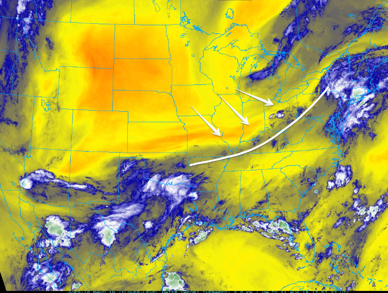
A weak surface boundary has set up to our northwest (above – traced in white). It’s going to push southeast during the day, bringing afternoon rain/storms to Middle Tennessee.
UPDATE:
To quote NWS at 2:25pm
- Radar trends and latest guidance suggest that storms currently developing in KY should begin pushing into areas north of I-40 between 4 and 6 pm, push through the Nashville metro area (and the I-40 corridor) between 5 and 8 pm, then begin to weaken as they get south of I-40 and we lose the heating of the day.
- Some of these storms could be strong and the main concerns, as they have been of late, will be strong gusty winds and small hail.
We will be closely watching for any activity that could reach into our area and will always have the latests on twitter @NashSevereWX.
High temps will brush the low 90s. Dewpoints will linger in the uncomfortable range.
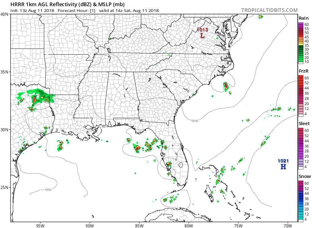
If you’ve got plans for an outdoor event this afternoon/evening, you could see a storm or two in the area – see the HRRR model below. Storms should go up during the warmest time of the day, but exact time and location is impossible to day.
After sunset, skies should clear. Expect patchy fog in the early morning.
Sunday
Dry air will drop down into Nashville, keeping skies mostly clear. An afternoon or evening shower/storm can’t be ruled out. High temps in the low 90s.
Warming Up Monday & Tuesday
High pressure should settle right over Kentucky/Tennessee on Monday. High temps will gradually climb into the low/mid 90s.
Most convection should be suppressed Monday and Tuesday, with storms working their way back into the forecast for Wednesday.

Categories: Forecast Blogs (Legacy)
You must be logged in to post a comment.