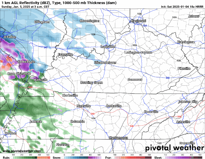
A few of us could see some a shower late tonight, but that’s likely after most of us are asleep – unless you are a night owl. NBD.
Much better rain chances arrive Monday afternoon thru the evening.
A few of us could see some a shower late tonight, but that’s likely after most of us are asleep – unless you are a night owl. NBD.
Much better rain chances arrive Monday afternoon thru the evening.
This Evening thru Sunday Morning:
Rain will soon spread across our area, bringing on/off showers lasting into the overnight hours.

Rain gear probably a good idea for tonight and tailgating Sunday morning. The game itself tomorrow should be mostly dry but can’t rule out a shower or two.
All your Friday evening plans look a-o-k weather wise. Temps do us a favor and (barely) stay above freezing tonight.
“Conditions should be comfortable for any AM Christmas parades on Saturday but for any parades that are planned for the afternoon close to the Tennessee River, it will be a closer call in regards to rain.” – NWS Nashville AFD
FRIDAY LATE AFTERNOON – EARLY EVENING
Sprinkley rain may pull up. Meh.

SATURDAY AFTERNOON TO SUNDAY AFTERNOON
The problem: I’m not sure when it will stop. Most of the rain should be gone by Sunday mid-morning, but for the rest of Sunday we could get a stray shower. Poncho up, fans. Tailgates need tents!
COLD MORNINGS
Warming trend: check out the highs.

RAIN THIS WEEKEND
… a trailing cold front will approach Middle Tennessee on Saturday afternoon with likely rain chances late Saturday through Sunday morning.
Behold below! Another sourced forecast from available model data + NWS-Nashville guidance. Delivered with fear and trembling.
EARLY WEDNESDAY MORNING (AS IN, TOMORROW)
Snow, brief and inconsequential.
Rain – maybe heavy at times – expected before dawn Tuesday morning.

Disclaimer

Very light showers Tuesday night may become a narrow band of snow early Weds morning.

Temps plummet Weds and Thurs …
A fairly consistent, heavy at times will move into the area this evening – providing us with beneficial rain. No severe/winter weather concerns.
The HRRR (below) conveys what the radar might look like thru Monday AM.
For the first night in a while, we won’t get below freezing. Still chilly though with lows getting into the mid 30s.
Still expecting two rounds of rain, starting on Sunday.
Round One – Sunday Evening thru Monday Morning
Still very cold for Saturday morning, waking up to temps in the low 20s, but temps recover nicely – getting around 50° for the afternoon.
The warming trend will continue into early next week, but rain chances are introduced as well.
You must be logged in to post a comment.