
As we continue to get closer to the event, some details are being finetuned, but overall, the forecast is on track.
Headlines:
- We are now under a Winter Storm Warning for most of Friday
- 3-6″ of snow is expected, with 4-6″ most likely for us.
- Travel conditions likely to quickly deteriorate starting Friday morning, and stay hazardous through the weekend.
Details still could change, stay connected for updates!
🕖 Timing

Overall, the timing remains the same.
ETA for snow continues to be somewhere in the 4 – 10a range, most likely around 7a Friday morning.
Heaviest snow will fall from late morning into late afternoon on Friday. Travel will be most dangerous during this time. Snowfall rates could approach 1 – 1.5″ per hour at this time, particularly in the heavier band[s] that form. Where exactly those bands develop is TBD.
Snow should depart by 9 or 10p on Friday.
The latest HRRR model gives its’ best guess:

Note: The HRRR keeps us all snow throughout the duration of the event. The NAM continues to think we change to a wintry mix near the end of the event. As of right now, this seems to be an outlier, and unlikely. This will still be something we watch for.
Snowfall ratios still look like they’ll be close to 10:1 which just means snowball and snowman making will be ideal. I can only assume this is also ideal for snow cream.
❄️ Most Likely – “Boom” – “Bust”
For now, our snowfall totals will most likely end up in the 4 – 6″ range.

We still have our “boom” and “bust” scenarios – although both are unlikely and only have a 10% chance or less of happening.
Our “boom” scenario AKA “if all goes right for snow” still looks like 6 – 8″.
Our “bust” scenario AKA “if all goes wrong for snow” looks to be 2 – 3″.
The numbers could still change! But confidence in at least some snowfall is fairly high.
⚠️ Preparation/Duration of Impacts
I would still have all my errands done by tonight.
Road conditions will quickly begin to deteriorate starting Friday morning and will only worsen throughout the day.
Roads may look OK in the morning, but they will quickly become snow covered throughout the day. Snow + rush hour Friday PM will be no good.
Travel will likely remain difficult into the weekend.
Minimal melting is expected Saturday as high temps will only briefly get above freezing and cloud cover is expected to stick around.
Sunday and Monday look more favorable for melting as high temps will be close to 40° and we’ll get some sun. However, anything not completely melted will re-freeze at night with lows getting well below freezing.
Unfortunately, there is no way to know how a certain road will be at a certain time at any point this weekend. Melting will occur at different rates for different roads.
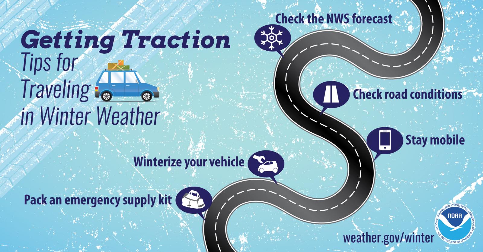
The saftest bet will be to stay at home, but if you need to get out – take it slow, leave plenty of room between you and other cars, and clear the top of your vehicle of any snow.
We’ll have another blog out this afternoon, and plenty of updates on all of our socials.
Categories: Featured Blog