
There’s been a few tweaks in the details for our upcoming snow tomorrow, but the overall forecast remains on track.
Headlines:
- We’ll be under a Winter Storm Warning starting at 3a Friday
- 6-8″ of snow is most likely, maybe a little more, maybe a little less
- Road conditions will quickly deteriorate starting Friday morning
- Travel impacts will last until at least Saturday
Data can still change! Stay tuned for the latest updates on all of our socials. We’ll also be hosting a YouTube Live at 8p tonight to answer all your questions, and to hopefully make some decent jokes.
🕖 Timing
Thinking on timing remains basically the same.

First flakes likely to start flying around 6 or 7 am Friday morning, +/- a couple of hours.
Heaviest snow will fall late morning into early evening. Peak snowfall rates likely around 1″ per hour. Travel will be at its worst during this time.
Snow likely to depart around 8 or 9p.
HRRR model gives an educated guess on what the radar could look like tomorrow.

Note: The NAM model has relaxed a bit with how far north it thinks a wintry mix gets, only bringing it up to about the 840 corridor. This is still an outlier and seems unlikely – think we should just deal with all snow.
This looks like a wet snow, ideal for snowballs, snowmen, sledding.
🔼❄️ Snowfall Totals: Most Likely – “Boom” – “Bust”
These numbers could change! Since this morning, our expected snowfall totals have gotten a boost, but expected impacts remain the same.
For now, our most likely outcome is 6 – 8″ of snow.

We still have our “boom” and “bust” scenarios, that both have a 10% chance or less of occurring.
Our “boom” scenario (if all goes right for snow) would put us at 8 – 9″ of snow.
Our “bust” scenario (if all goes wrong for snow) would put us at 2 – 3″ of snow.
⚠️ Preparation/Duration of Impacts
I would still have all my errands done by tonight.
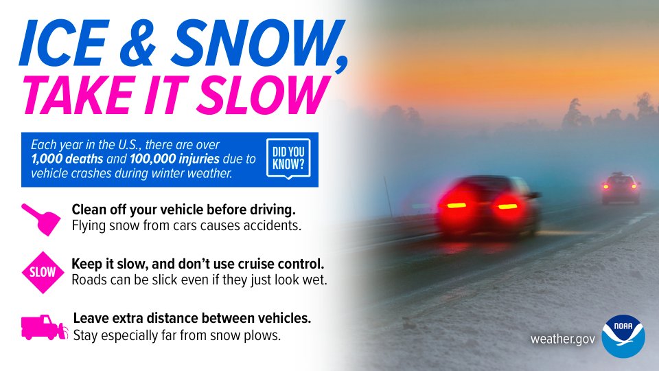
Road conditions will quickly begin to deteriorate starting Friday morning and will only worsen throughout the day.
Roads may look OK in the morning, but they will quickly become snow covered throughout the day. Snow + rush hour Friday PM will be no good.
Travel will likely remain difficult into the weekend.
Minimal melting is expected Saturday as high temps will only briefly get above freezing and cloud cover is expected to stick around.
Sunday and Monday look more favorable for melting as high temps will be close to 40° and we’ll get some sun. However, anything not completely melted will re-freeze at night with lows getting well below freezing.
Unfortunately, there is no way to know how a certain road will be at a certain time at any point this weekend. Melting will occur at different rates for different roads. You can access the TDOT Smartway page by clicking here. This is a good resource to get a guess at how the roads may be.
The saftest bet will be to stay at home, but if you need to get out – take it slow, leave plenty of room between you and other cars, and clear the top of your vehicle of any snow.
Categories: Featured Blog