
Headlines:
- A Winter Storm Watch is in effect from early Friday morning thru late Friday night.
- This will likely soon be upgraded to a Winter Storm Warning due to confidence continuing to increase.
- Major travel issues likely start Friday morning, lasting throughout the day.
- 3-7″ of snow possible, 3-5″ most likely as of right now.
Let’s dive into the details. Forecast could change! Stay connected for updates.
⏰Timing
ETA of snow is expected sometime between 4a and 10a Friday, most likely around 7a Friday.
Snow will likely stick around for the majority of the day Friday. Snow should stop sometime Friday night; best guess right now would be 7-10p.
The heaviest snow is likely to fall from late morning to early evening. The latest HRRR model shows snowfall rates approaching 1″ per hour during this time. This all depends on exactly where the heaviest band[s] of snow sets up, but travel will likely be at its worst during this timeframe.
HRRR loops from early Friday morning thru noon Friday, gives its take. This is just a guess, “All models are wrong, some are useful.” – the great James Spann.

It seems the snow ratio will likely be around 10:1, which is pretty typical for us. This means if we got 10″ of snow (which we are not expecting), then it would melt down to 1″ of liquid. Yes, this will all be good to make snowmen, snowballs.
❄️How Much Snow? Most Likely – “Boom” – “Bust”
As of right now, our most likely outcome is snowfall accumulation somewhere in the 3 – 5″ range.

Our “boom” scenario for snow is 6 – 8″. This scenario, although unlikely (10% chance or less of occurring), is possible “if all goes right.”
Our “bust” scenario would be 2 – 3″. Again – unlikely (10% chance or less of happening) but is possible “if all goes wrong.”
There is still some uncertainty in this – and confidence will increase as we get closer to Friday.
💥Prep/Duration of Impacts
I would have all my errands done by Thursday night.
Travel will likely be difficult Friday thru at least Saturday. Roads may look okay Friday AM but rush hour Friday PM + heavy snow is not something I’d wish upon anyone.
This weekend into Monday we’ll likely get in a pattern of : some melting – refreeze – some melting – refreeze – some melting.
Saturday likely won’t do much in terms of melting, temperatures only to get above freezing for a couple of hours, and not much sun is expected.
Sunday/Monday to have a bit more melting as high temps will reach close to 40° and sun should return.
There is no way to know how road “x” will be at time “y”. Melting is bound to occur at different rates for different roads. Interstates/highways likely to be plowed before secondary roads, backroads.
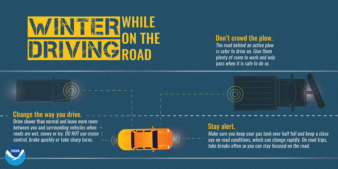
If you have to get out, please be careful – take it slow, leave plenty of distance between you and other cars + plows, and it won’t hurt to pack emergency supplies in case you get stuck. You may know how to drive in the snow, but others may not. Also, be ready to clear the snow off the top of your vehicle.
Temperatures to remain cooler than average thru the remainder of the forecast.

Categories: Featured Blog