Few Showers, Warmer Wednesday
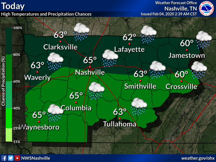
Today will be slightly warmer with highs in the low to mid 70s. Models have been consistently showing some showers rotating around a low that is moving through the state. Already we see rain coming in late this morning.

Today will be slightly warmer with highs in the low to mid 70s. Models have been consistently showing some showers rotating around a low that is moving through the state. Already we see rain coming in late this morning.
After another chilly, winter-like morning, the rest of your Sunday will be very nice with highs near 70 and dry.
Bit breezy with gusts of 15-25 mph possible.
Low 40s overnight into Monday morning. (Much better than near-freezing lows)
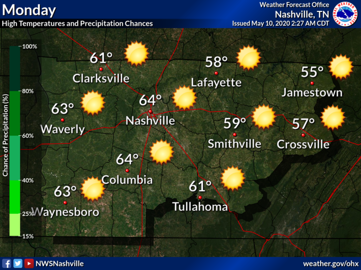
Light showers this morning will give way to partly cloudy skies this afternoon.
High temperatures will be in the low 60s.
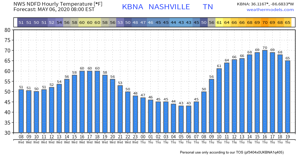
Temps bottom out in the low 40s early Thursday morning at the airport (areas away from the city might see a return to the 30s). Some areas may hit the upper/mid 30s before or around sunrise Thursday.

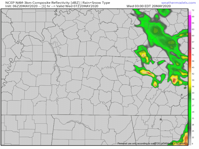
More showers will overspread the region tonight with heavier bursts possible. The most likely window for seeing heavier rainfall looks to be from Midnight-morning commute. So be sure you have your umbrella handy. Low temperatures in the metro will be a cool 50 degrees.
[Editor’s Note: Intern Applican #2 is Patrick. He wrote this:]

After a morning with dense fog with a risk of patchy black ice (though we got no reports of that), the rest of the day should yield mostly cloudy skies with temperatures around 46.
You must be logged in to post a comment.