
Thursday
We’re finally getting a break from the rain!
Skies should be partly sunny today with rain chances staying mainly to our south. We can’t rule out a stray shower or storm rolling into your backyard, but for the most part we should stay dry.

We’re finally getting a break from the rain!
Skies should be partly sunny today with rain chances staying mainly to our south. We can’t rule out a stray shower or storm rolling into your backyard, but for the most part we should stay dry.
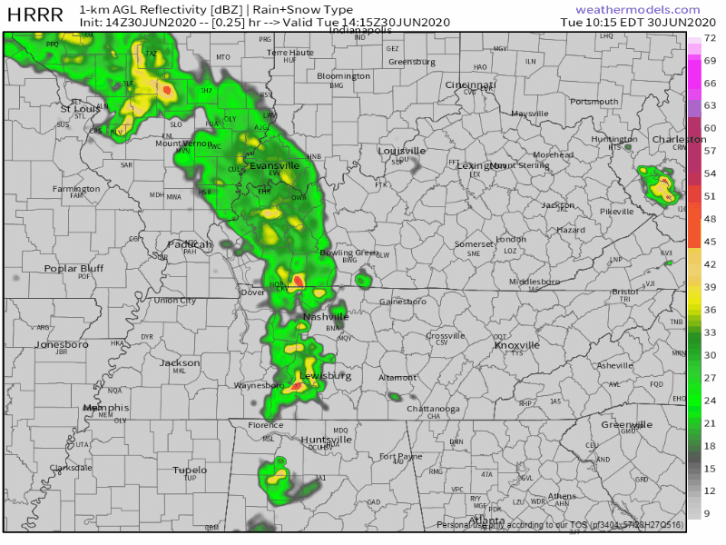
A line of thunderstorms is making its way across the state this morning. Upwards of an inch has already fallen, sparking the National Weather Service to put out a flood advisory for Nashville.
Some stronger storms will be arriving later this afternoon into the evening hours. Some could form as early as 2 pm, but they look to be coming through around 4. They should be leaving the area by midnight tonight.
Mostly sunny today. Rain should stay to our south, but we can’t rule out a stray shower or thunderstorm popping up in your neighborhood.
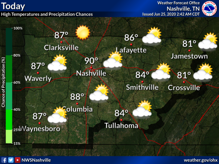
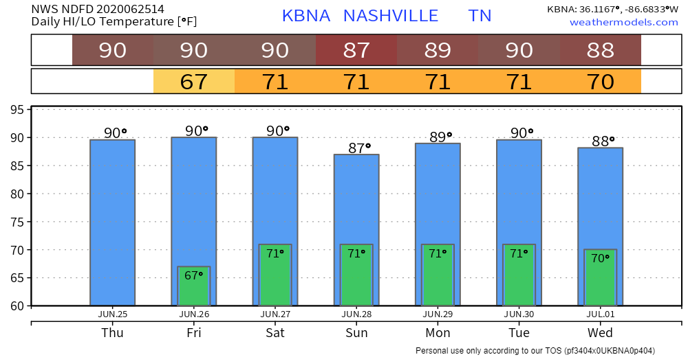
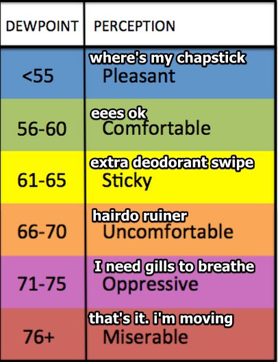
Highs will be near 90°. The dewpoint will drop from the mid 60 this morning into the low 60s this afternoon.
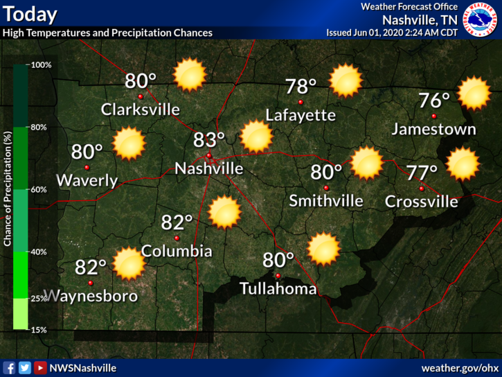
Today should be another day of sunny skies. Because of the low to our east, our humidity levels should stay relatively low. Dew points will stay in the 50s throughout the day. Highs will be near 83°.
The highest chance of some showers is to our east. We should stay dry, but we can’t rule out a stray one rolling into our neck of the woods.

That just seems to be the trend over the next week, and we are definitely not complaining about it!

Everyone loves Fridays, especially when beautiful weather is involved!
Dew points will remain in the low to mid 50s today, keeping the humidity levels down. There will also be a nice breeze today, a north-northeast wind blowing in at around 10 mph. Highs will be near 88°.
Skies will be mostly cloudy today. Although stronger storms should remain to our southwest, we can’t rule out a stray storm ending up in your backyard. Because of Cristobal’s location to our west, wind speeds will increase. There will be a 10 to 15 mph southeast wind with possible 25 mph gusts. Highs will be near 91°.
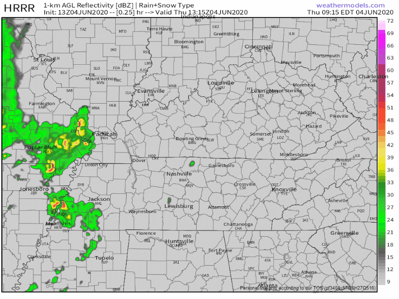
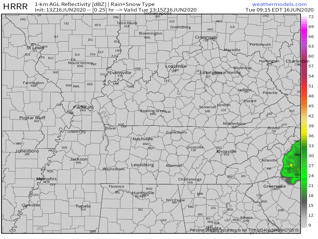
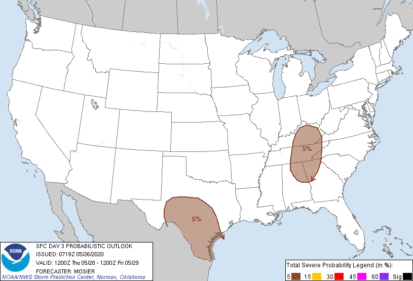
There may be some strong to severe storms coming through the area today.
Key word: “may.”
Storms will be scattered storms, so it will be hard to pinpoint where they will hit.
Here’s what the HRRR model thinks — notice it doesn’t think we’ll see much of anything until around midnight.
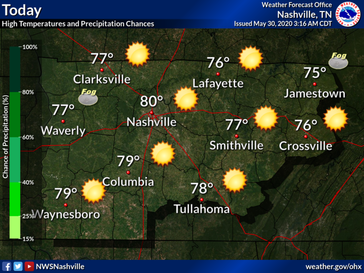
Today will be filled with sunshine and warm temperatures! Highs will be near 83°.
Clear skies will remain overnight, lows will be around 64°.
Sunny skies remain through Wednesday. There will be some warmer temps, reaching upper 80s and lower 90s.

There may be some patchy fog this morning, but it is mainly around bodies of water and low lying areas. It should clear out by 8 am.
It’s looking to be a beautiful day today! Sunny skies and highs reaching near 80°.
Cooler today with another chance of afternoon storms. Rain/storm probabilities increase each day up to the weekend.
The trend continues into this week: more scattered showers and thunderstorms. Most of the rain should be arriving after 1 pm today.
You must be logged in to post a comment.