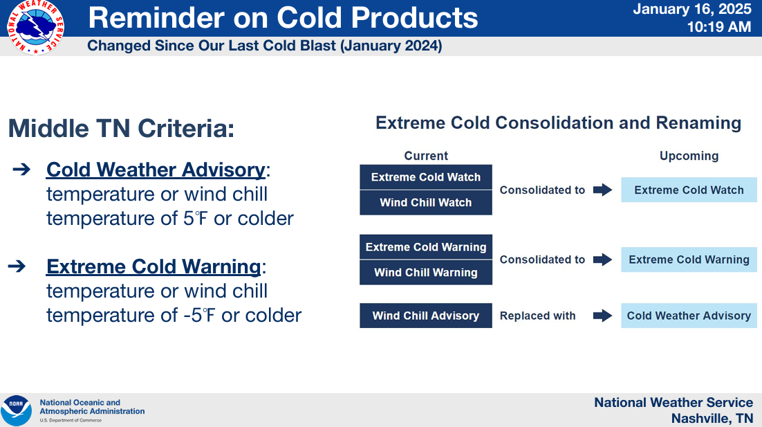
Temps will plumet tonight.
Monday morning, most of us will wake up with temperatures in the single digits, with wind chill values (“feels like”) as low as -5°.
Thus, we are under a Cold Weather Advisory from now until noon Monday.

Temps will plumet tonight.
Monday morning, most of us will wake up with temperatures in the single digits, with wind chill values (“feels like”) as low as -5°.
Thus, we are under a Cold Weather Advisory from now until noon Monday.

Rain expected to move in tonight, sometime around 9p – give or take a couple of hours.
Should continue on/off thru about midday Saturday, but some sprinkles can’t be ruled out Saturday afternoon and evening.
Still expecting some showers to move thru starting late Friday night, continuing on/off thru midday Saturday. No thunderstorm worries, just some rain.
HRRR model gives its take below.

Most of the rain should be outta here by about noon on Saturday.

Before we jump straight to next week, we still do have rain chances beginning Friday night, continuing into Saturday.
The Euro model (below) thinks rain doesn’t move in until late Friday night and is out of here by midday Saturday.
Headlines:
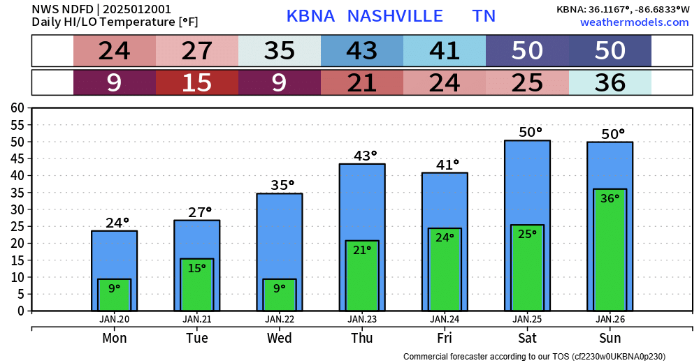
Main highlight of the upcoming forecast will be the brutally cold temperatures arriving early next week. ‘
“As we move into next week, models continue to favor another very cold week with ensembles showing temperatures as much as 25 degrees below normal.” – NWS Nashville AFD
Tonight, Tuesday night, and Wednesday night – low temps will all bottom out around 20°. Prepare to bundle up for the bus stop, commute to work/school.

Temps will slowly warm up throughout the week, getting back into the 50s by Friday and Saturday.

Temperatures have climbed all the way into the low to mid 40s, which has done a number on snowmen.
Some shady areas are stubborn and there could still be some slick spots on roads. Temperatures will dip below freezing again tonight, and while most roads are bone-dry, a few spots of black ice are possible Monday AM.

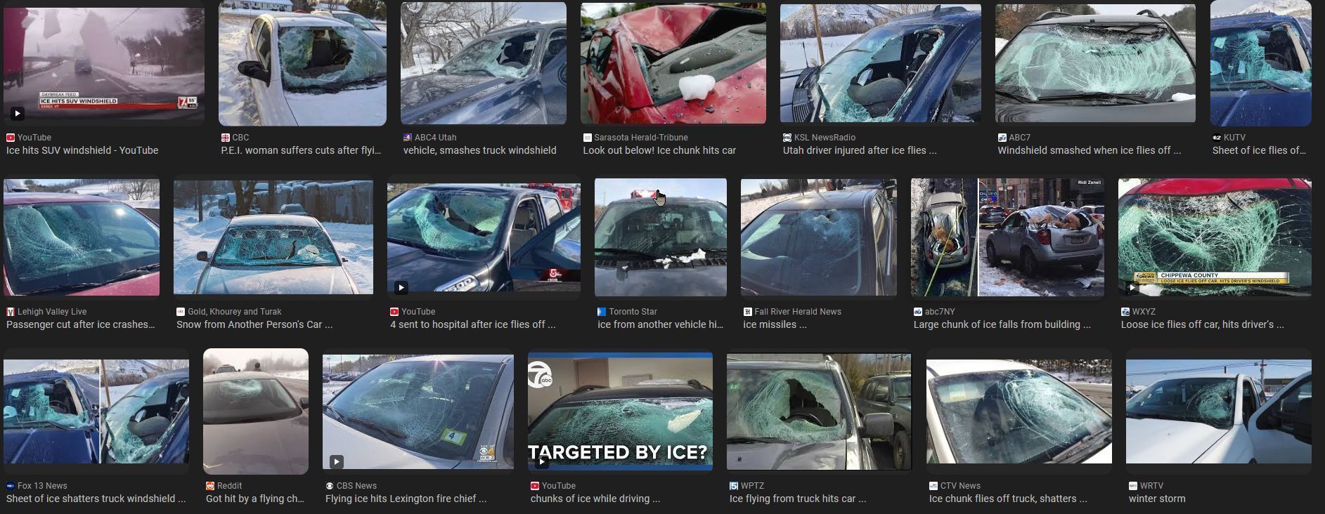
If you are going outand about, please clear the snow off the top of your vehicle.
Please don’t let this be you or someone else.
With temperatures above freezing and the sun out, some melting is ongoing today. Good news for the roads, bad news for local snowmen.


Well, it’s snowing.
Our Winter Storm Warning is set to expire at 9p tonight.
“Additional snow and sleet accumulations between 1 and 3 inches, as well as a light glaze from ice south of I-40…”

There’s been a few tweaks in the details for our upcoming snow tomorrow, but the overall forecast remains on track.
Headlines:
Data can still change! Stay tuned for the latest updates on all of our socials. We’ll also be hosting a YouTube Live at 8p tonight to answer all your questions, and to hopefully make some decent jokes.
You must be logged in to post a comment.