

Well, it’s snowing.
Our Winter Storm Warning is set to expire at 9p tonight.
“Additional snow and sleet accumulations between 1 and 3 inches, as well as a light glaze from ice south of I-40…”
“Plan on slippery road conditions even after the warning ends. The hazardous conditions will impact the Friday evening commute.”
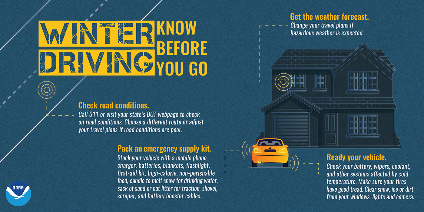
“If you must travel, keep an extra flashlight, food, and water in your vehicle in case of an emergency.”
Snow will vary in intensity throughout the day until the last flakes fall around 6p or so.
It’s expected to stay all snow but can’t totally rule out some mixed precip getting in here – better chances for that to our south.
Travel impacts will continue to worsen throughout the day, and likely last into Saturday – especially on backroads.
The TDOT Smartway map is a good resource for seeing how road conditions are – you can click here for that.
The safest bet will be to stay home and enjoy the snow. If you absolutely have to get out and about, please clear the snow off the top of your vehicle, take it slow, and leave plenty of room between you and other cars (& plows)!
Not a ton of melting on Saturday due to temps only expected to briefly get above freezing, along with stubborn cloud cover.
A lot more melting is expected on Sunday and Monday, as high temps will reach the upper 30s. Anything not melted will refreeze at night. Continue to use caution on roadways, especially backroads.
No other precipitation chances to talk about in the near future.
Temperatures remain below-average for at least the next 6 days.

Categories: Featured Blog