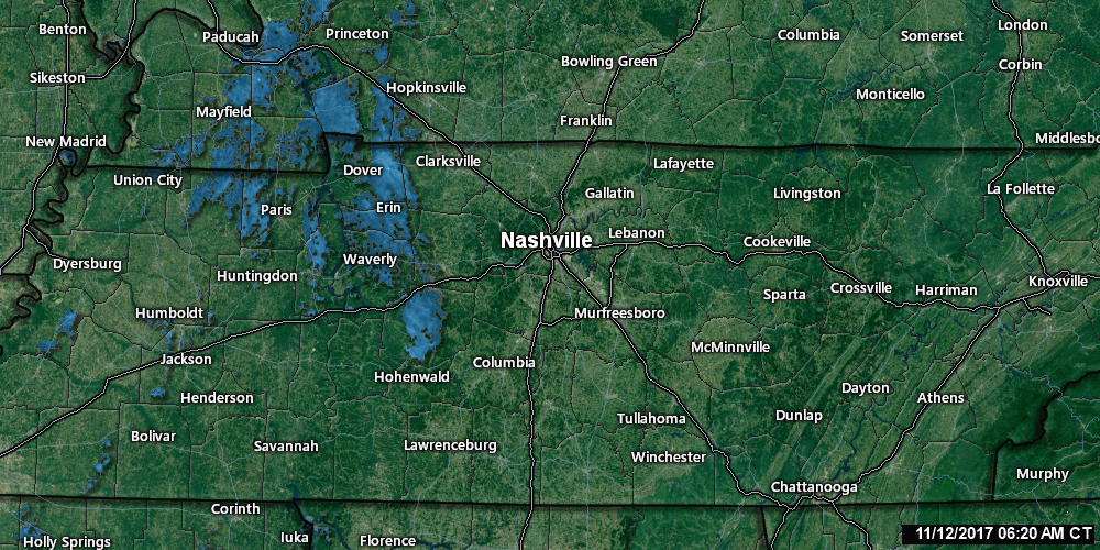
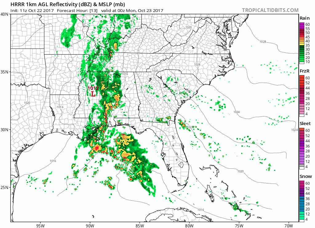
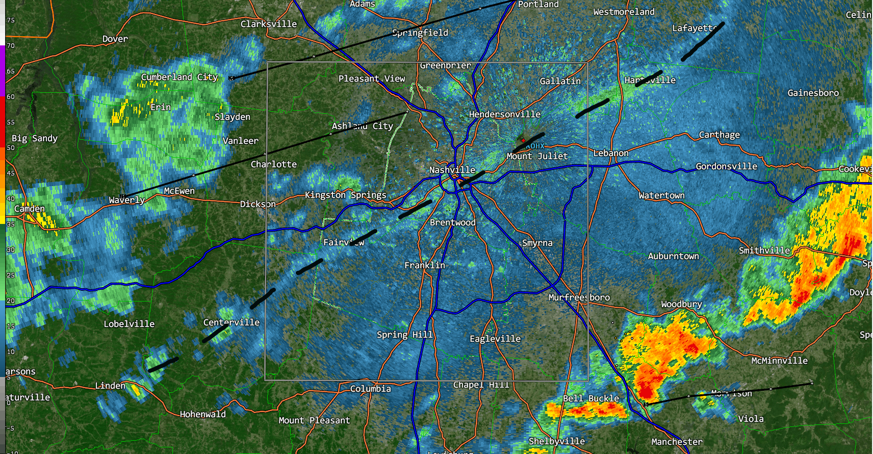
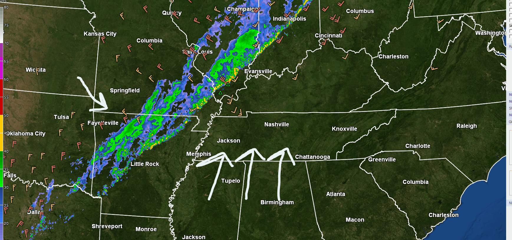
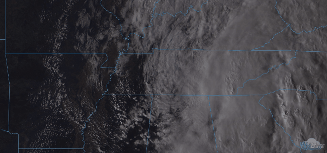
Rain Tonight/Tomorrow No Big Deal; Dispelling Crap App Snow Forecasts Next Weekend

It’s going to rain tonight.

We may see a few light showers beginning around 7-8 PM, but the heavier rain will wait until overnight/early Monday morning.

ETAs may change, so check back here and/or on Twitter with @NashSevereWx for more info. The rain line won’t move east quickly. read more

Rain Tonight & Tomorrow, a PSA, a Peek at Trick-or-Treat Temps

Expect a breezy/windy Sunday afternoon. Gusts in the 20 MPH range are possible. It’ll be overcast, high 79°, with the return of late summertime humidity.

Rain will be here late tonight.

Last night we thought it would be here around 7 PM, but models overnight have pushed the ETA back. Expect rain to start well after dark, as a slow, light rain gradually increasing through the night. read more

The Cold Front Is Here!

The cold front showed up around 3:30 PM. You could see the cooler northwest wind arrive on radar:

It has come with a breeze.

About 20 mins ago on Old Hickory Lake Wilson Cty pic.twitter.com/tuDXZPTwdW read more

Rain Today, Fall Is Coming

Before 8 AM, warm, humid air was streaming in from the south, with a cold front pushing rain toward us.

Winds will pick up (13 MPH or so), then that rain will be here this afternoon.

The HRRR model thinks a main “line” of rain, briefly heavy, will show up between noon and 1:30 PM or so, followed by maybe another light passing shower before dark. read more

Later Nate. Storms Possible Tuesday.

As sunset sped west (the sunset is the white stuff coming in from the right), what’s left of tropical depression Nate was speeding just southeast of us.

Nate’s hurrying toward Pennsylvania tonight and tomorrow morning, taking its rain with it. The HRRR model illustrates: read more

Off & On Rain from Nate Today; Storms Tuesday

Hurricane Nate made landfall on the northern Gulf Coast.

Nate’s now a tropical storm, speeding northeast into Middle and Eastern Tennessee. The center of Nate should pass east of us.

Rain

Off and on all day. read more

October!

Testing streaming with some new equipment. Here’s Will (and Sam) on tonight’s sunset:

read more

Dry Weather Ahead! Cooler Temps Thursday!!!

Heat and humidity will continue through Wednesday, but rain isn’t expected over the next 7 days.

A dry north wind is on the way thanks to Hurricane Maria.

Hurricane Maria will pass northward off the Mid-Atlantic coast by mid-week, then into the North Atlantic Ocean at the end of the week. We’re on the western side of it, and as a result we will receive a dry northerly surface wind. read more

Hot, Humid, Chance of Rain Today. Relief in Sight.

Heat and humidity remain. Mid/Upper 60° dewpoints with a high temp of 91° in the shade. It’s going to be much hotter in the sun.

Gross.

Our chance of a brief shower today is small. Someone in Tennessee will get a little wet, it probably won’t be us, but it might. A classic summertime battle of competing forces is to blame for forecast uncertainty: read more

Hot, Humid, Pop-Up Showers Chances This Week

Summary

  • “Middle Tennessee is currently stuck in a late summertime pattern that will continue into the beginning of fall.” (NWS-Nashville Afternoon Forecast Discussion).
  • Temps this week will be five to almost ten degrees above normal.
  • Hit-or-Miss pop-up rain chances begin Tuesday afternoon and last through the rest of the week.

Rain & Storm Chances

Monday — Rain chances remain very low. The better rain chances will be northwest of Nashville.

Rest of the Week — The morning shift at NWS-Nashville thought Wednesday afternoon would bring the best chance of rain. read more