

No, not referring to this Pam:
It gets dark today at 6:51 PM.
Not that we’ll be able to watch the sun set.
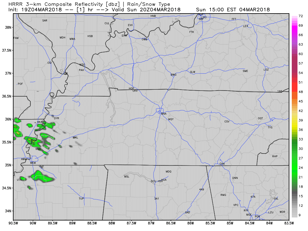
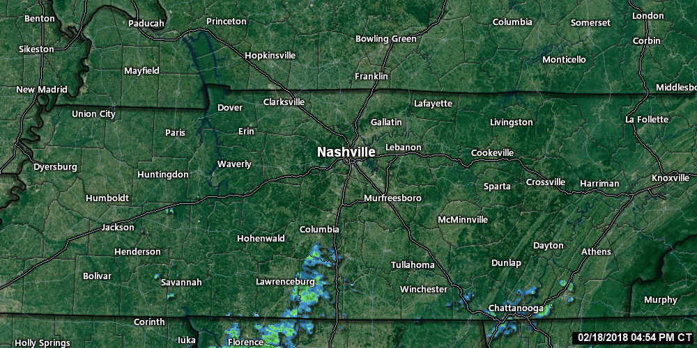
HRRR Model Rain Timeline
Cloudy for most of the morning. Isolated showers expected around 1 PM today.
1 PM to 4 PM: Around 2 PM or 3 PM, a blob of light to moderate rain, with pockets of heavy rain, should move in.


You must be logged in to post a comment.