
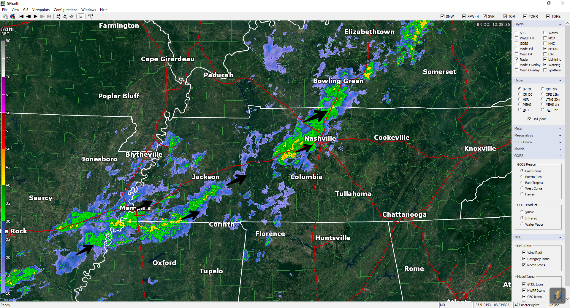
Rain has departed. We got between 0.5″ and 1″, depending on your location.
Up next: cooler temps! Lower humidity!
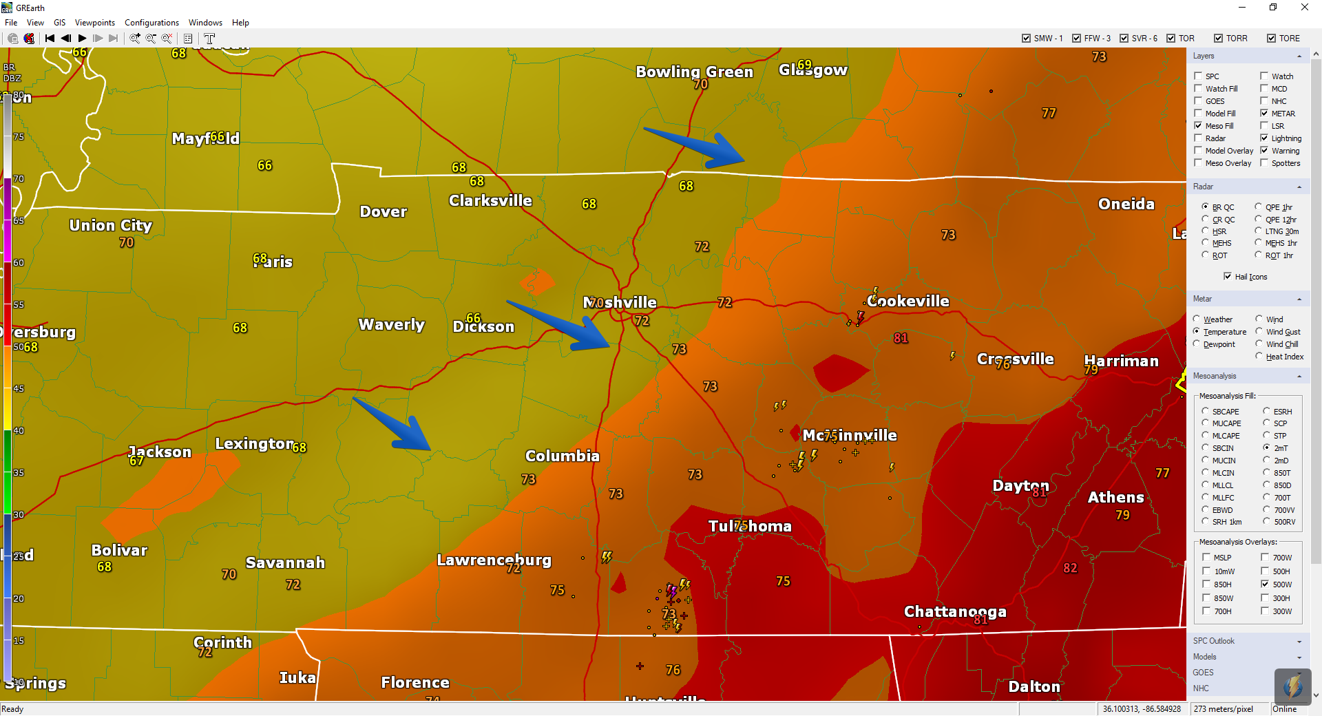
Cooler air is on the way, as seen here Sunday at 4 PM:
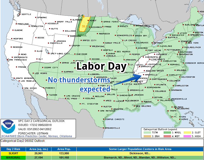
Clouds are expected Monday. They’ll be slow to clear out. But check out the cool temps!


You must be logged in to post a comment.