
Sunday
It’s possible an isolated shower or storm will pop up this afternoon. The HRRR model thinks so:
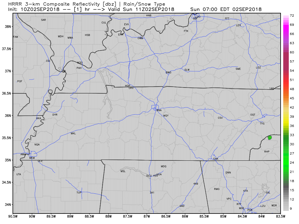
As usual for summer, shower/storm locations are unknown. Buy a lottery ticket and hope for the best.
Otherwise expect very hot (92°) and humid today with the heat index in the shade up to 96°. Even worse in the sun.
Labor Day – Tuesday
The Storm Prediction Center does not think we will see thunderstorms Labor Day or Tuesday:
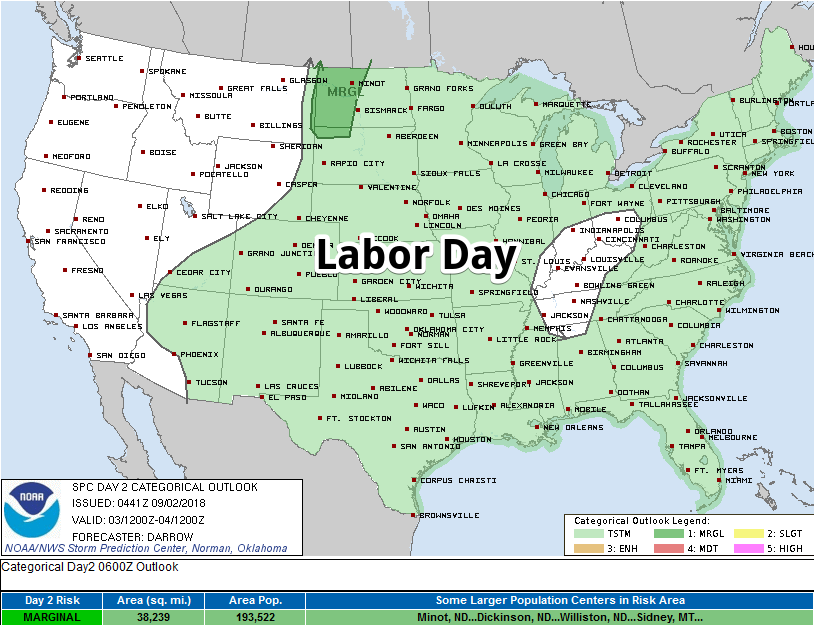
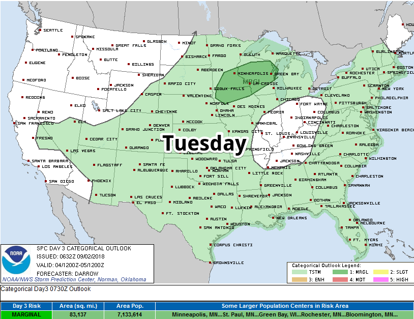
The NAM and Euro models think there will be no rain. The GFS supposes rain possible. Bet on no rain Labor Day and Tuesday.

Still hot both days, 92° and 93° respectively, with the heat index in the shade up to 96° both days.
Wednesday & Beyond
Slightly more humid beginning Wednesday with temps in the low 90°s. This will continue through next weekend. Thus the return of a chance of afternoon pop-up showers and storms.
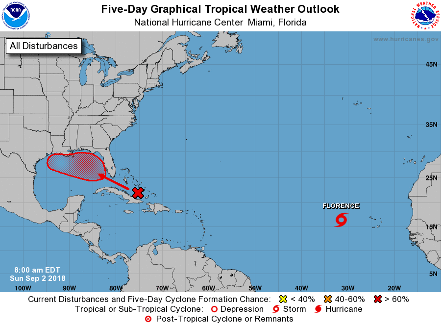
Rain chances may increase further next Friday and Saturday, all depending on the track of a tropical system (the red X below) moving onto land from the Gulf of Mexico this week.
Below is NWS-Nashville’s thinking:
The best chance for precip will come toward the end of the week with a potential tropical system developing in the Gulf and moving northward. Models continue to disagree over the path of this system. Both the GFS [model] and the Euro [model] bring the system into the lower Mississippi River Valley, but after that the GFS shows the system moving north, which would increase our precip chances for Weds and Thursday. Meanwhile the Euro lets the system wander over to Texas for a few days, then moves it north early next week. Decided to be conservative for precip chances considering the discrepancies.
As usual, we’ll be on Twitter @NashSevereWx today and every day watching radar.


Categories: Forecast Blogs (Legacy)
You must be logged in to post a comment.