
(“Mixyerable” is a new word. Affections will vary).
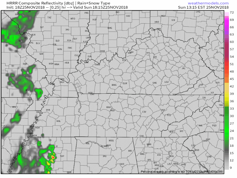
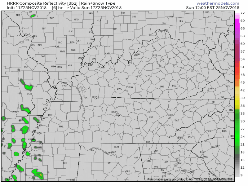
Winds will relax tonight.
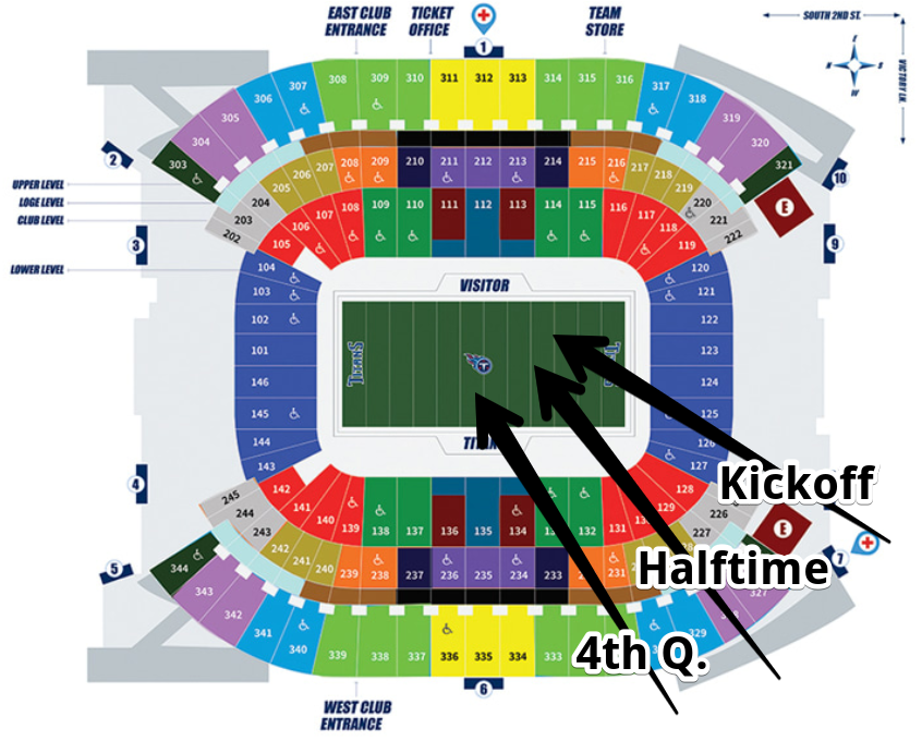
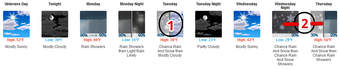
Colder Week Ahead
South winds Sunday will be west winds tonight and NW winds tomorrow morning. Therefore, waking up to temps under 40° Monday. We should not see 50° anytime this work week. Bundle up tomorrow!


You must be logged in to post a comment.