
From NWS-Nashville:
forecast soundings would suggest we should see plenty of wind gusts of 30-35 mph. This is just below wind advisory criteria (gusts of 40-57 mph).
Sustained winds will be strongest this afternoon.
- 14 MPH by 9 AM,
- 17 MPH by noon,
- 14 MPH by 3 PM, and
- 11 MPH at 6 PM.
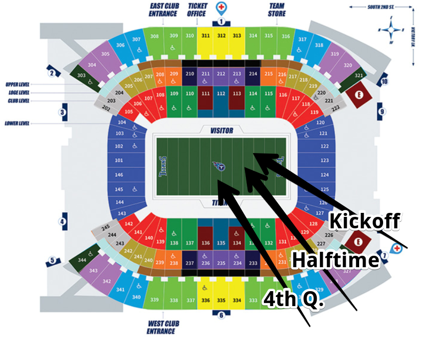
It’ll start out blowing from the south. By kickoff of the Titans game, it should be a SW wind, and by the end of the game, it’ll turn WSW. Winds will be strongest near kickoff, weaken a bit after half time when it’ll blow a bit more across the field from the river. Variable, stronger wind gusts, will level up the difficulty level, no problems for our all-pro kicking game.
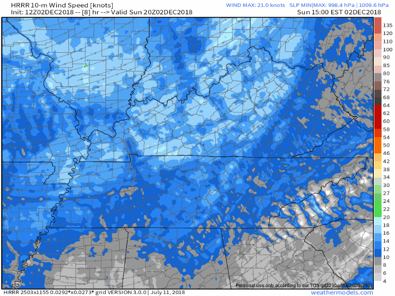
For weather nerds, here are the 10-meter streamline winds from 2 PM to 8 PM from HRRR:
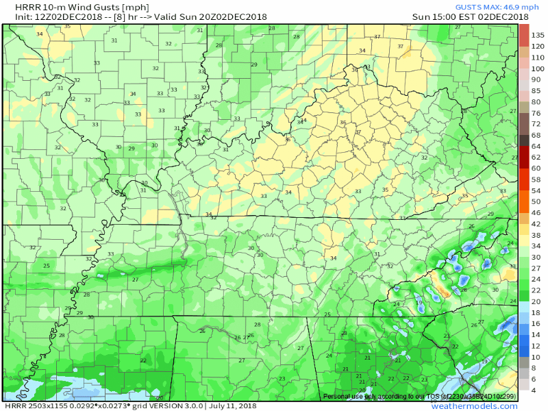
And the corresponding 10-meter wind gusts for the same time:
Temps will be fantastic. Mostly sunny, high 70°!
Official Gametime Forecast for the NY Jets
No wind at all. Also, temps will drop into the low 20°s at kickoff, so be sure to layer up. Also there are prairie dog holes in the south end zone, so be sure to look down when running through there, you don’t want to turn your ankle.
You can trust me because of this Rachael Ray gif:

Much Colder Tomorrow & The Week Ahead
South winds today will be west winds tonight and NW winds tomorrow morning. Therefore, waking up to 40°s Monday. We should not see 50° anytime this work week. Bundle up tomorrow!
NWS-Nashville mentioned:
potential of some flurries late Monday night and again Tuesday afternoon/evening as models continue to hint at the tail-end of a dissipating frontal system creeping into the Ohio/TN Valleys. . . .this could be a good chance for the northern Plateau to catch a dusting Tuesday night just due to orographic lifting.
We’re not the plateau, and certainly not the northern plateau. Euro model has a smattering of flakes over there, but not here.
Next “Event” Potential Friday – Sunday

Important: If you say “will you marry me?” And the response is “That could be interesting, I see some potential for some marriage, I never planned to get engaged in early December because it was my dream to wait until January or February. I may give you some kind of answer in about 5 or 6 days, and that answer might be yes but if it’s yes the chance is high I’ll break off the engagement before the wedding, there are plenty of kinks to work out before I answer you, and I see several scenarios where I say no.” You would not think yourself engaged.
In a similar way, the models have proposed wintry precip Friday, followed by rain, and as the system exits, a shot at more wintry precip possible Sunday.
NWS-Nashville put the following technical discussion on the “Not Too Technical” shelf, which is appreciated:
Precip onset Friday could be interesting with the cooler air already in place. There could be a rain/snow mix and in fact, some soundings [weather models] are showing the potential for some light freezing rain. While this type of occurrence doesn’t usually occur until January/February, if it verifies, the trajectory of this weekend’s system commonly gives us at least some kind of frozen precip before temperatures warm enough to turn everything to all liquid. Plenty of kinks to work out before it gets here, but stay weather aware through the week for the latest.
A few things about this.
- models do not agree. Often we’re wondering what’ll happen 12-24 hours before an event. This one is 5 days away, which should instill less confidence, not more. Still, it’s interesting, but if you remember nothing else from that quoted paragraph, remember all the words in bold. Remember the wishy-washy response to that marriage proposal.
- if we get frozen precip Friday, we’ll warm up fast “to turn everything all to liquid.” NWS-Nashville goes on to note:
warmer air and accompanying rains are expected to push into Middle TN starting Friday afternoon and could very well last through Saturday, making for a sloppy start to the weekend.
Meh.
As the system pulls away, lingering precip and arriving freezing temps might make wintry shenanigans. One more quote from NWS-Nashville:
Better yet, there is some indication of enough cold air/moisture left over on Sunday to provide at least a rain/snow mix. [Amounts] are small, so impacts wouldn’t be great, but this is also worth watching throughout the week.
Finally, for what it’s worth, the Euro model has all the wintry stuff on the Kentucky side of the TN/KY line.


Categories: Forecast Blogs (Legacy)
You must be logged in to post a comment.