
Fog
The kids say “rn,” efficiently meaning “right now.” Hey, it’s your tomorrow. It means everything.
48° and foggy rn. pic.twitter.com/nswJ3CPraI
— NashSevereWx (@NashSevereWx) November 25, 2018
Fog should mix out around 9 AM.
Windy
Breezy becomes windy this afternoon. 17-20 MPH sustained this afternoon. Gusts to 32 MPH. A warm wind, high 68°! Kite enthusiasts rejoice.
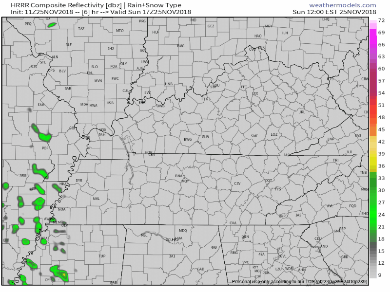
Rainy Tonight
Should begin around 4 PM then end by 11 PM. So says HRRR model:
Few days ago we thought half inch. Then third of an inch. Now: under 0.10.” Most outdoor stuff safe tomorrow.
Nocturnal Nashvillians may spy a snowflake or two before sunrise Tuesday morning, but that’s a “north of us” thing.
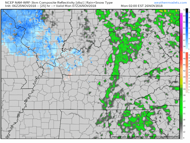
No snow. Even if snow, no impacts.

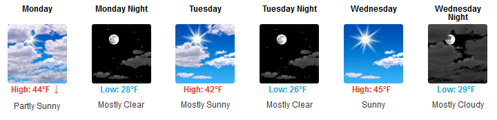
Much Colder Monday!
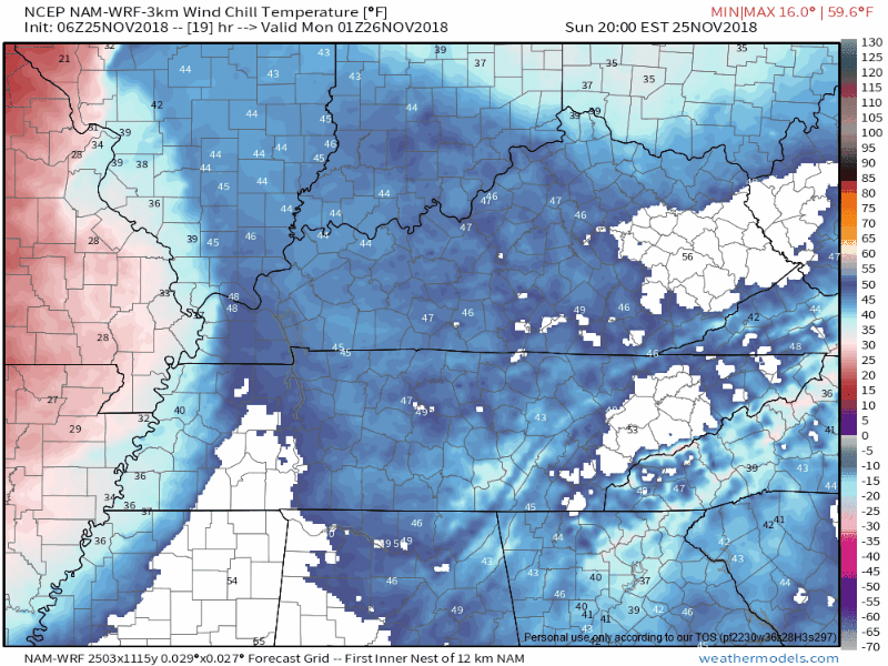
Behind that rain is a cold front.
It arrives around midnight + a lingering Jerk North Wind will send wind chills into the 20°s all day Monday and at least half the day Tuesday.
NAM3 model illustrates advancing wind chills through noon Tuesday:
Wind relaxes Tuesday afternoon so we’ll “enjoy” that high in the 40°s because it’ll feel more like 40°s. Same Wednesday. But mornings will still be below freezing Tuesday through Thursday.

Temps Rise with Rain Chances Thursday & Friday
Light rain arrives as early as Thursday afternoon but probably more like late Thursday or Friday morning.
The rain system then gets stuck and parks here, delivering rain Friday and Saturday. We’ll be warm and maybe even unstable enough for a few thunderstorms mixed in, but nothing strong or severe. Still a lot of model uncertainty, but eventually a cold front will sweep it away the mild temps and rain, then restore the cold temps.
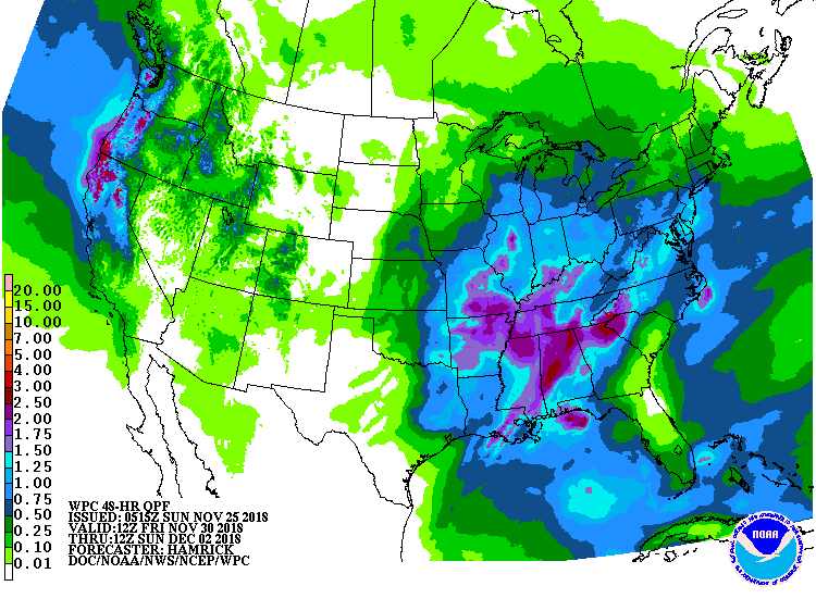
Saturday may rain out. Below WPC thinks 1.5″ to 2″ of rain will fall from Friday 7 AM to Sunday 7 AM, with most of that falling Saturday:
Forecast confidence is currently low, but not want you want to see if you’re planning some outdoor thing. Details will sharpen this week.
When the rain ends, cold again! Probably Sunday.

Categories: Forecast Blogs (Legacy)
You must be logged in to post a comment.