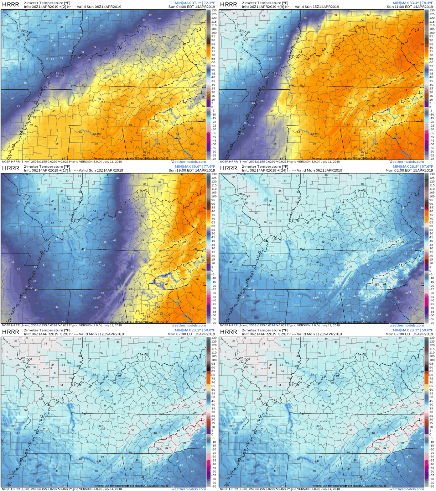
Windy, Colder Sunday

Severe weather stayed south of us early this morning. Great news.

Another round of showers is possible late morning/early afternoon but storms are unlikely. Very little additional rain is forecast.

Thus the two rounds of storm potential was just that, potential, thankfully. read more

Evening Update on Rain, Storms Sunday. Timing & Severity.

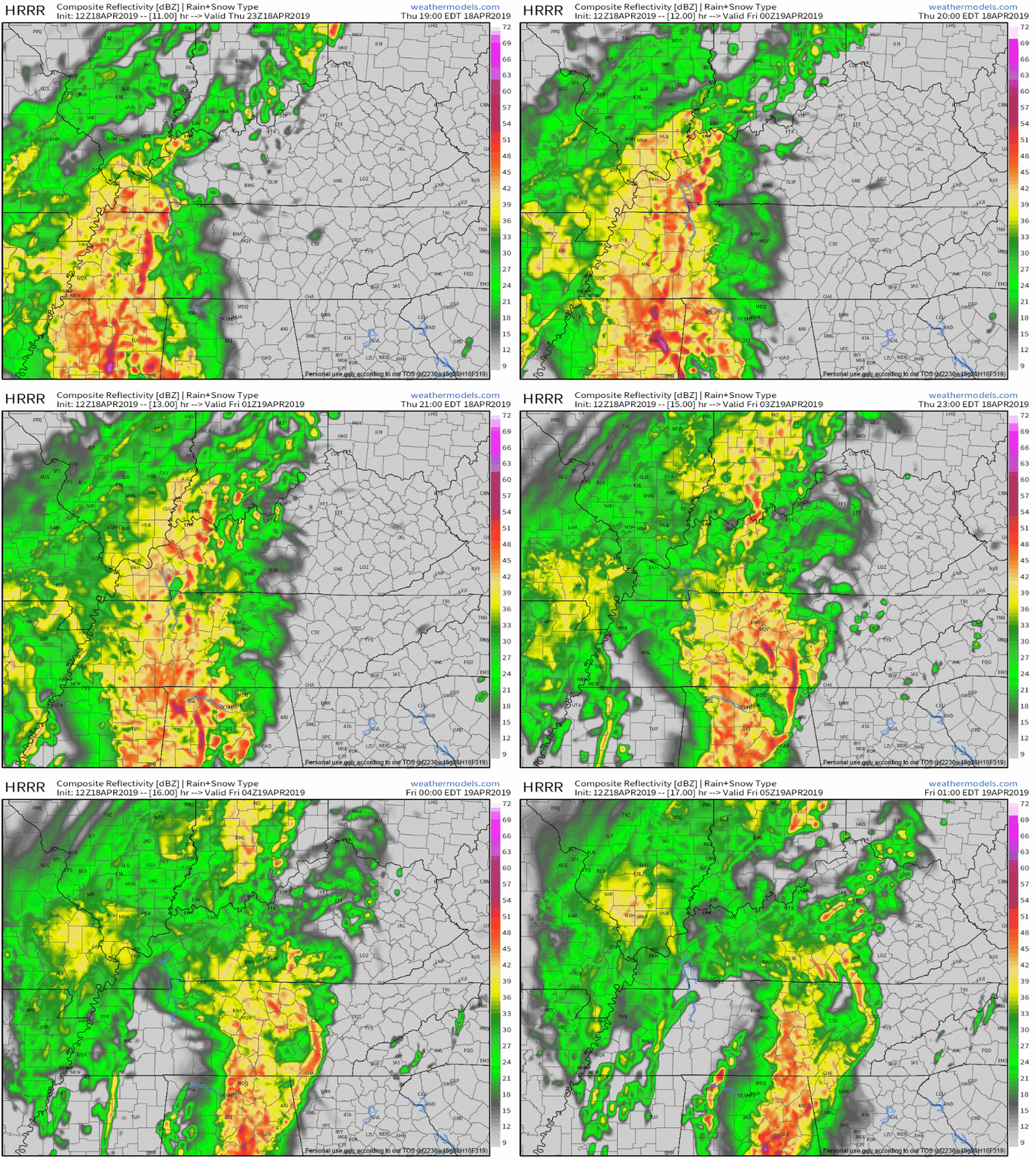
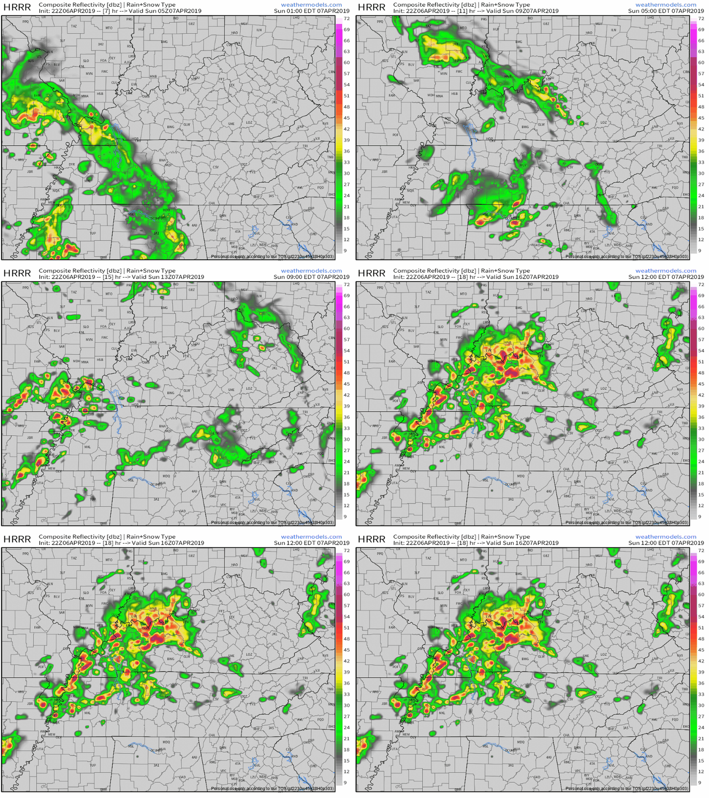
Weather models are lighting up with storms overnight tonight through Sunday. Timing, and how bad they may be, ↓↓↓↓.

Timing

Timing and model runs vary. No real ETAs or time-specific details available. Rain and storms will come in irregular waves. read more

Quiet Until Thursday Night. Then 2 Systems (Rain, Maybe Storms) Thru Sunday.

Dry first half of the week. Warmer each day.

May see frosty-freezy temps early Tuesday morning in low-lying spots.

No rain until late Thursday night.

Rain expected as early as late Thursday night but is most likely during the pre-dawn hours Friday morning. Expect about a half-inch of rain. Should depart before lunch, if not sooner. read more

Rain & A Few Storms Tomorrow Morning, Maybe Again in the Afternoon.

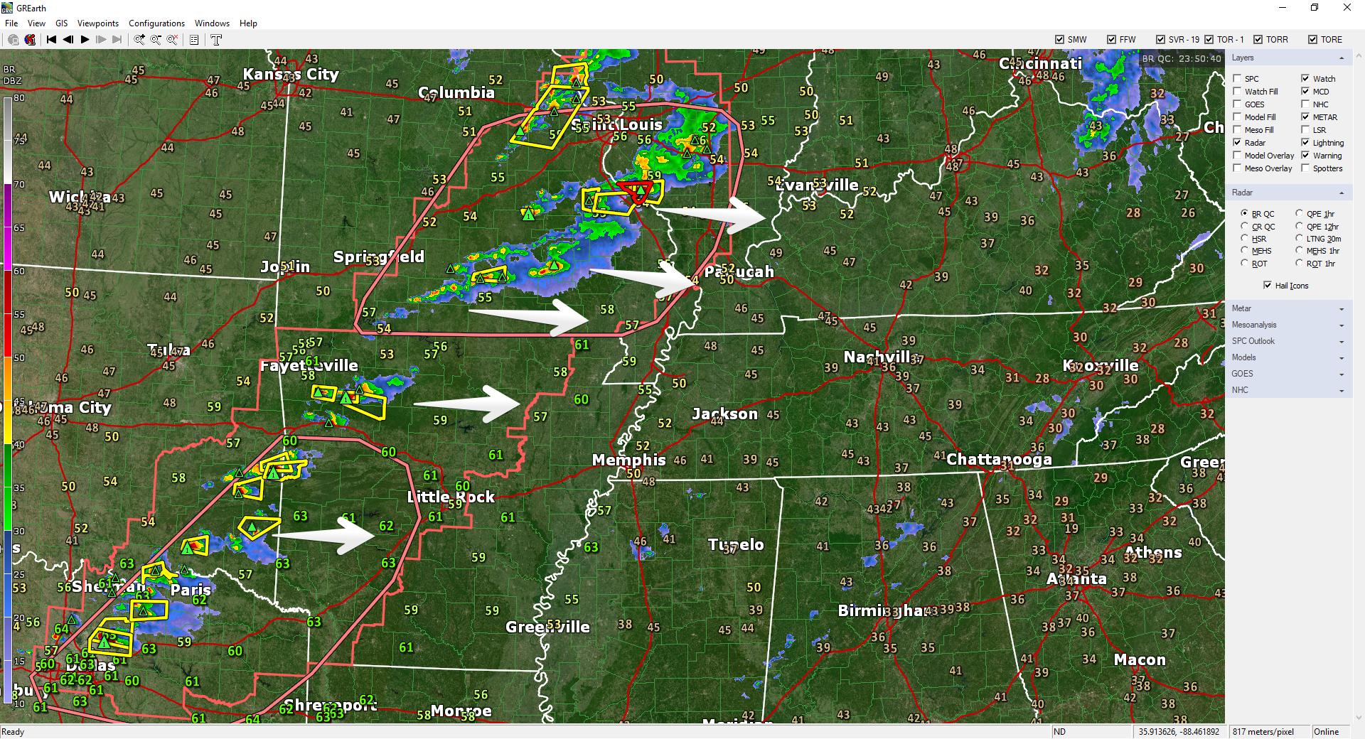
Severe thunderstorms formed a line from St. Louis to Dallas as shown below on radar at 6:58 PM.

This activity is moving our way.

It Won’t Be Severe

“Severe” means 58+ MPH winds, one-inch hail, or tornado. None of that is happening when these storms arrive. The system will nerf on its way east, giving us rain and a few thunderstorms. (The reason has nothing to do with the Mississippi River, the Tennessee River, or whatever old wives tale grandma believed. The reason: dry air locally, insufficient instability, and weakening low pressure). read more

Afternoon Rain. Models Don’t Agree on Monday Rain/Storm Timing.

Light Afternoon Rain

ETAs

HRRR model thinks 1 PM to 2 PM, but it only lasts for an hour or so and is pretty light:

NAM3 model thinks ETA noon to 1 PM, lasting about an hour or so, maybe a little longer, still light:

read more

Rain Chances Sunday & Monday. And Some GIFs.

No clouds in the way today.

Today and tomorrow:

Sunday, clouds roll in and rain chances return.

Off and on showers Sunday through Monday with around ½” of rain or less expected. (NWS-Nashville). read more

While Severe Weather Takes Spring Break, A Look Back at our Snowless Winter

Severe weather is on Spring Break. Medium and long range models show no severe weather through at least the rest of March into early April. These models aren’t always right but this is what we want them to say. read more

Storms, Strong & Maybe Even Severe, Thursday

Dry today. Tonight more clouds arrive and we resume talking rain.

The NAM3 model thinks light rain is possible at times tonight and again before sunrise Wednesday:

HRRR model thinks no rain tonight, but maybe a light shower before sunrise Wednesday morning: read more

This Morning’s Forecast Fail; Windy Wednesday; Rainy (Stormy?) Thursday; Cooler/Drier Weekend

Last night’s forecast was “no rain until Thursday!”

Uhhhh. Then this morning happened.

Light rain this morning surprised me. Rain was supposed to pass completely south of us. Most of it did. But we still got some this morning. At 5:56 AM NWS-Nashville noted approaching rain in West Tennessee was not reaching the ground thanks to a low level Dry Air Monster. read more

Nice Week Ahead, Except Thursday

Dry days ahead!

Pretty warm, too.

Rain, Storms Thursday

Rain and storms may start late Wednesday night/wee hours Thursday morning.

South winds will be strong. The Euro model thinks winds will gust over 40 MPH. Storm strength will depend on instability and dewpoint levels. No two storm events are the same, but this looks pretty similar to what we saw yesterday/Saturday — plenty of wind energy, questionable instability. As usual, considerable uncertainty, especially this far away. read more