Note: this forecast is for Davidson and Williamson Counties only. It is not written for all of Middle Tennessee. This forecast would be much different if our audience was in southern or eastern Middle Tennessee.

Note: this forecast is for Davidson and Williamson Counties only. It is not written for all of Middle Tennessee. This forecast would be much different if our audience was in southern or eastern Middle Tennessee.
This forecast may change tomorrow as uncertainties clear up. Stay connected. Have multiple reliable ways to get warnings.
We think it’ll rain in the morning. Starting before sunrise, off and on through the morning. Just rain, not severe weather.
It’s going to rain hard on Easter, but probably not raining all day. The flash flood threat is mostly for those to our SE, but some models deliver us heavy rain so be alert.
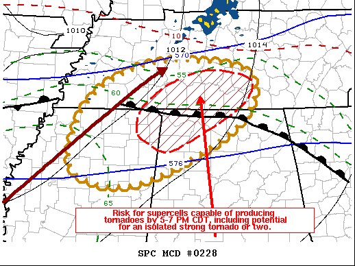
Severe weather? I’m glad you asked.
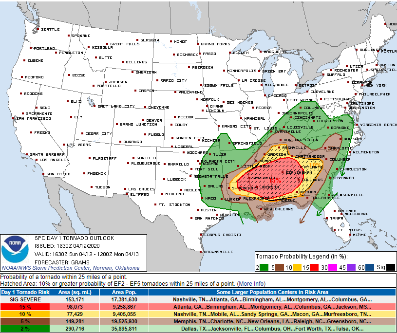
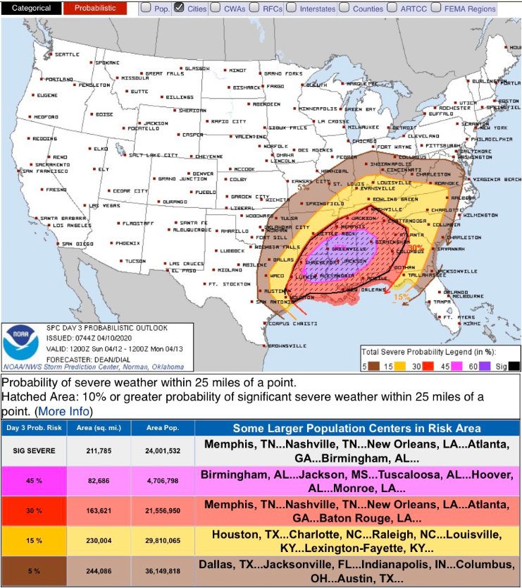
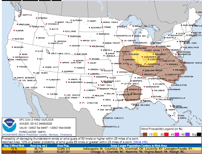
Middle Tennessee is under an enhanced risk of severe storms on Sunday, mainly in the late afternoon and evening. Damaging straight line winds, large hail, and isolated tornadoes are all possible.
NWS-Nashville
I’m going to trust you. If you’re going to skim this, don’t read it at all because you’ll miss important details.
Two really nice spring days today and Saturday. Cold Saturday morning though.
We’ll warm up considerably on Saturday with a slight chance of showers before midnight.
As always, but especially Sunday . . .
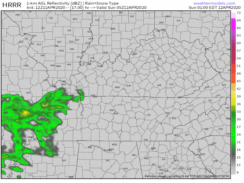
Tonight’s storm used just about all the storm fuel, leaving nothing behind to power a second line coming in later. We think the second line will be weak. Maybe some lightning, but mostly just rain. Davidson County’s Tornado Watch has been cancelled. Will Co’s Tornado Watch will probably be cancelled before 2 AM.
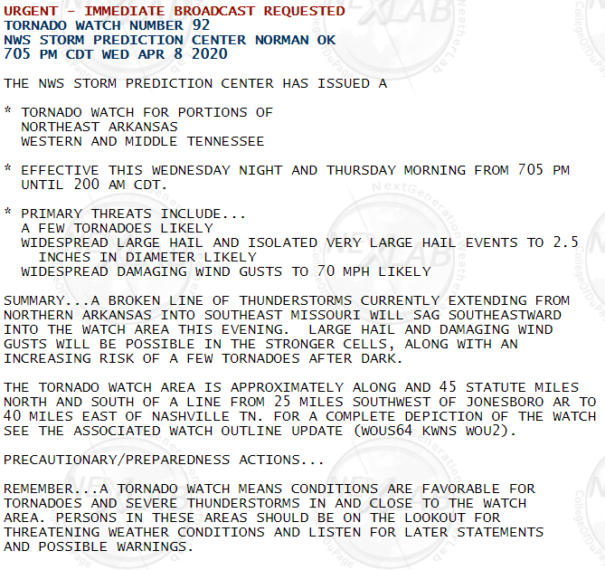
The Storm Prediction Center has issued a Tornado Watch for Davidson and Williamson Counties until 2 AM.
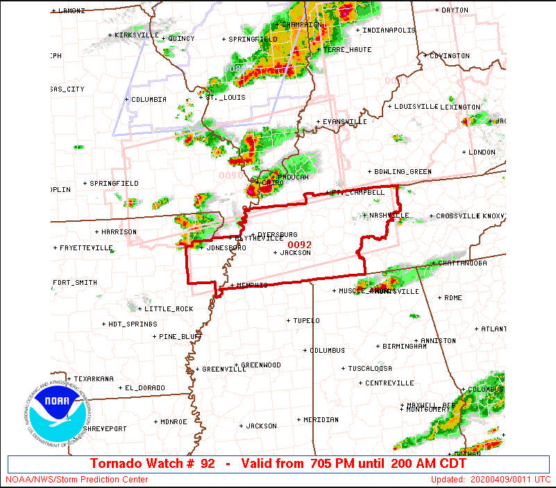
The Watch reflects concern a line of storms, ETA between 11 PM and 2 AM, will produce tornadoes. Most models are trending toward a midnight to 1 AM ETA, but you should remain alert for warnings and ETA changes until this line passes. Storms may arrive early. Storms will form a line and come in from the northwest.
Storms are more likely Wednesday, less likely Tuesday.
No/few storms Tuesday thru 7 PM per HRRR model:
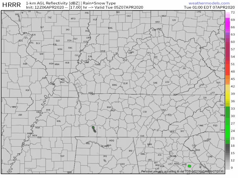
Models are quiet Tuesday night. Storms show up on the NAM3 model around sunrise Wednesday morning but those look weak.
Storms are coming.
Strong surface winds blowing from the southwest will gradually increase late this morning and this afternoon. Winds will transport humid air, fueling storms later. No rain or storms expected early/mid afternoon.
A Tornado Watch is in effect until 10 PM for Williamson County, not Nashville (not Davidson County).
The warm front we’ve been talking about all day isn’t expected to make it to Nashville/Davidson County. The storms got here early/mid afternoon, and removed any fuel storms later could use to power up. No guarantees, but I think this will be a non-event in Nashville/Davidson County. But we could still see heavy rain, thunderstorms, even some small hail, but the tornado concern is nah.
You must be logged in to post a comment.