
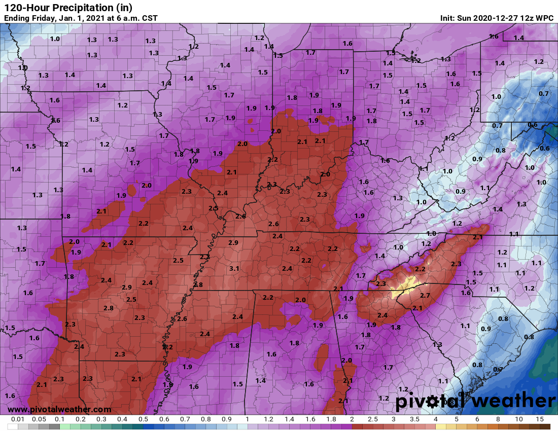
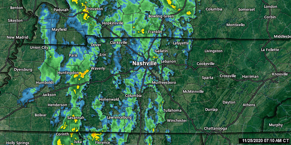
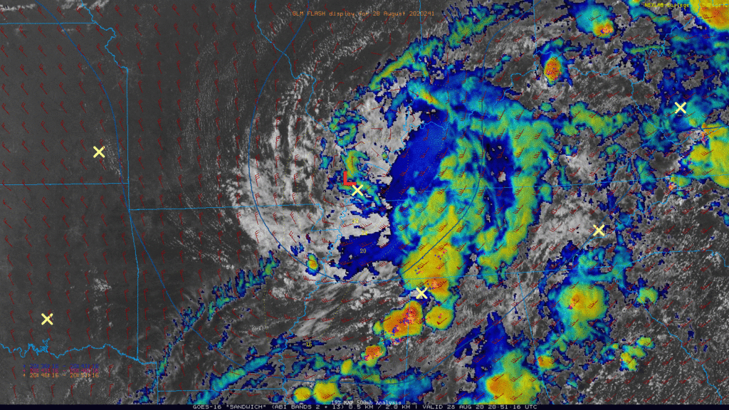
2020 began with heavy rain. 2020 will end with heavy rain.
First, a minor event tonight.
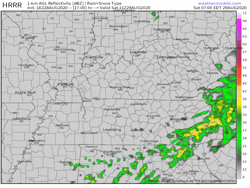
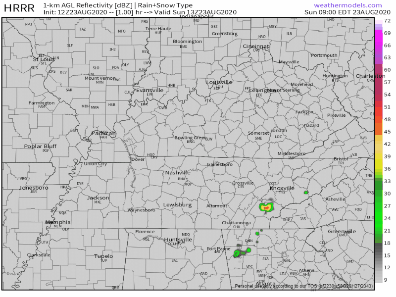
Light rain tonight, ETA a few hours before midnight. Not a heavy event (that’s Thursday). Tonight’s rain will be off and on, scattered, and should end around sunrise Monday. Was hardly worth mentioning but here it is. HRRR model below.


You must be logged in to post a comment.