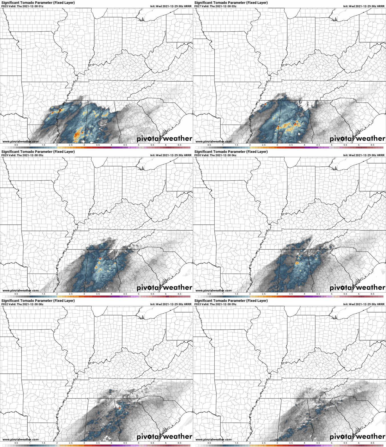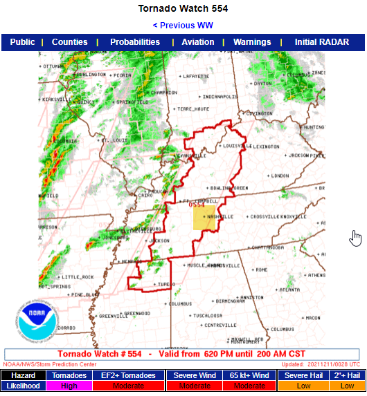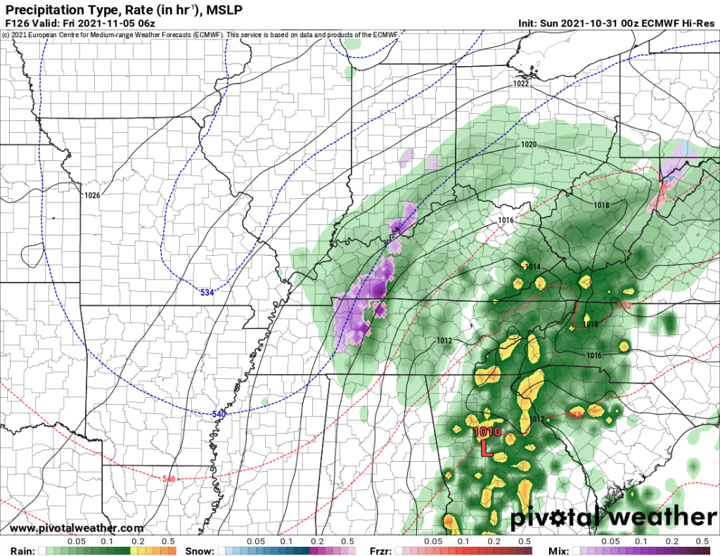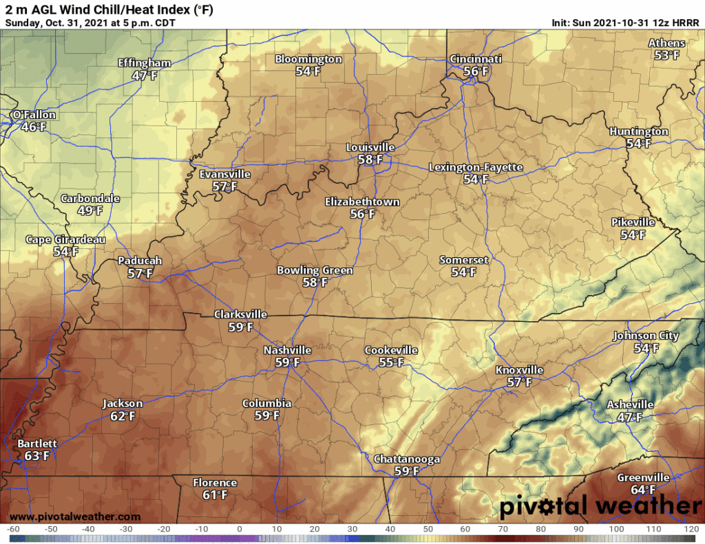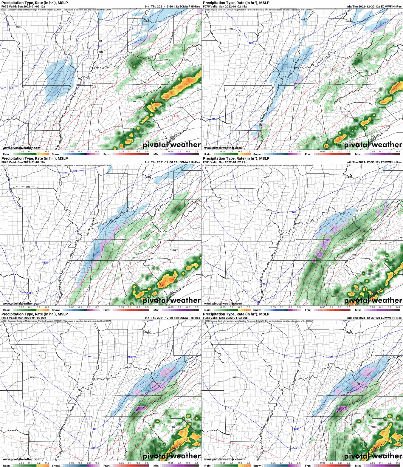
This is a complicated forecast that we make easy lol. Let me start off saying we’re relying on the HRRR model. I point this out because there are so many Somewhat Different Ideas from other weather models about Friday and Saturday. Were we to talk about all those that would make this weather briefing more annoying than it already is. I say that to ask you to please check back in the morning because timing and hazards may change, and I think the data might give you a clearer picture of what’ll be incoming. Saturday looks worse than Friday, generally speaking. I’m hoping this will at least help you plan your weekend.
Author: David
NYE & NYD Storm Events, Then We Get Very Cold
Wednesday’s Severe Weather Potential, An Update, Presented With Hope, But Without Agenda (mostly?)
I Wrote This About Wednesday and NYE/NYD and then a Weather Phenomena That The Editor Bleeped
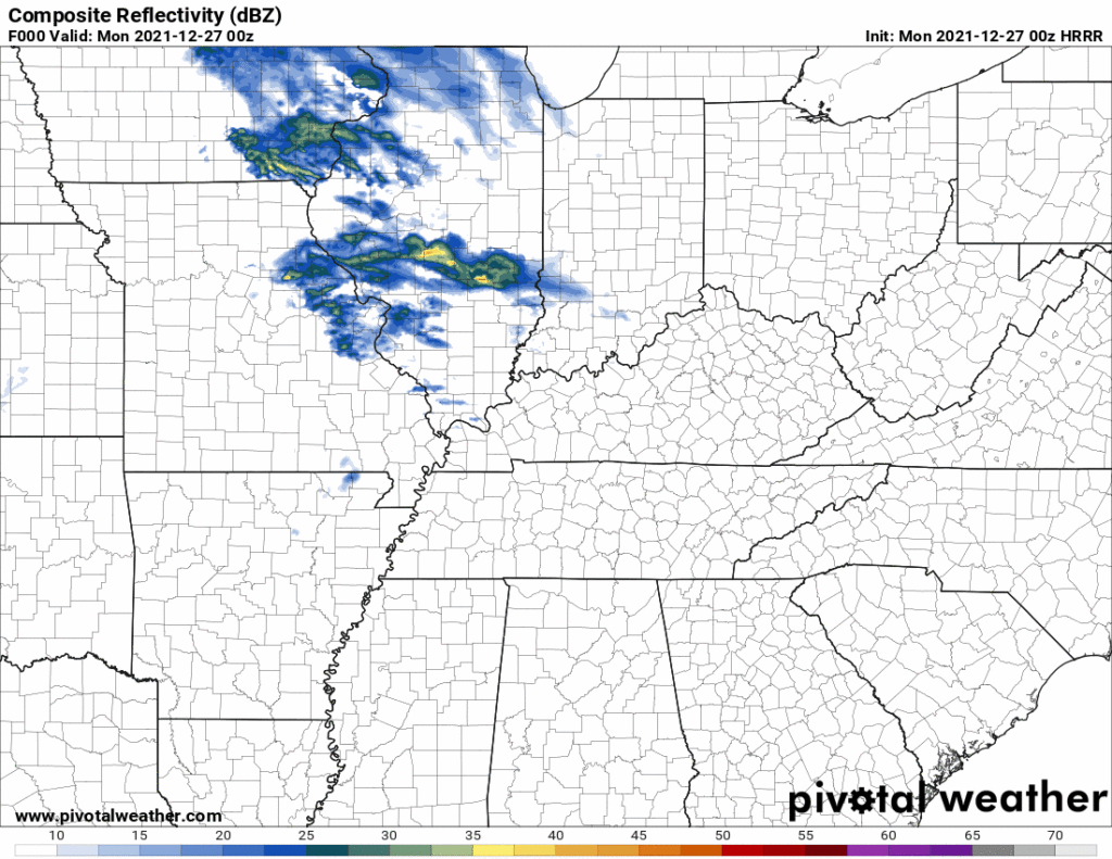
Below the HRRR model shows rain off and on through Tuesday night, not much, mostly Monday night and Tuesday, no washout.

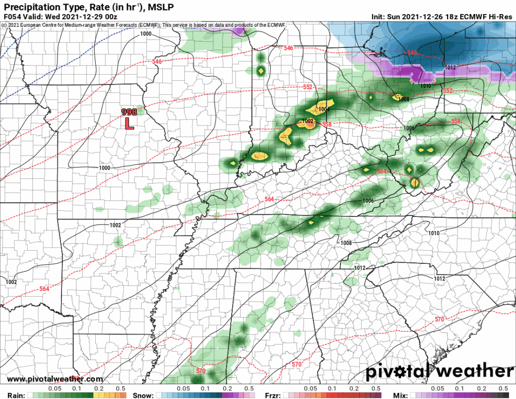
Then Wednesday even more rain as seen by the Euro model below.

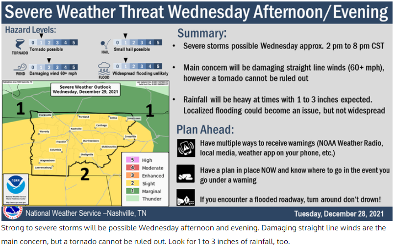
Now this may be a washout. Perhaps even thunderstorms but the severe threat is more likely well south of us as depicted by SPC:
Watching - But Not Worrying About - Wednesday

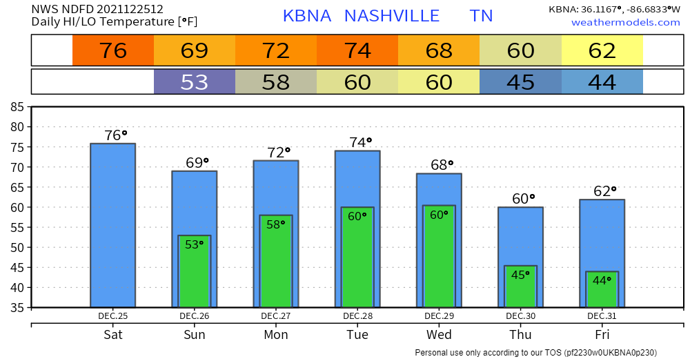
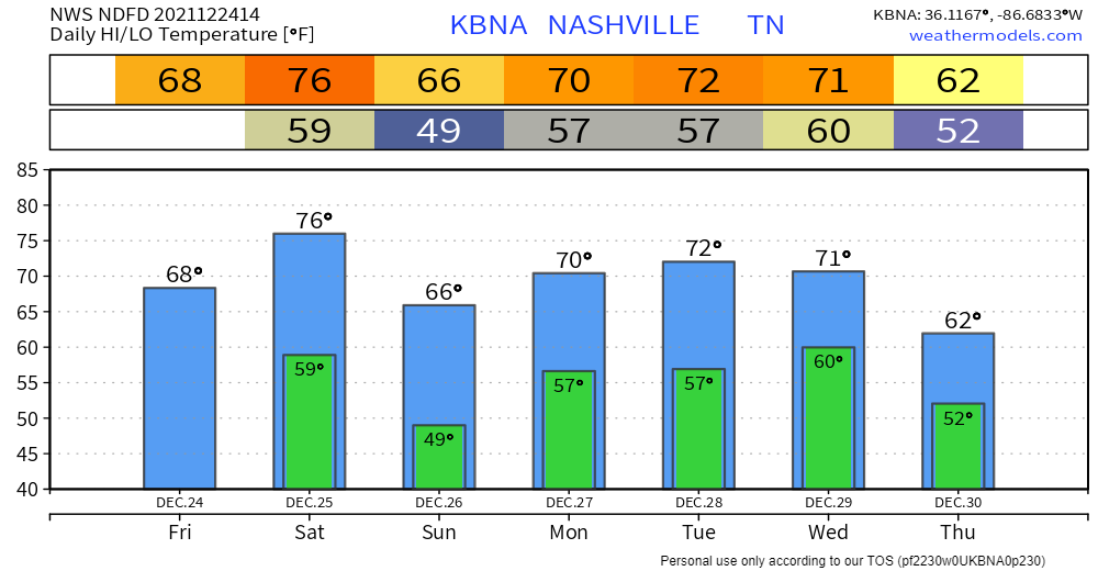
Winds will calm down this afternoon and tonight. 76° today would be the record high for Christmas, set 5 years ago.
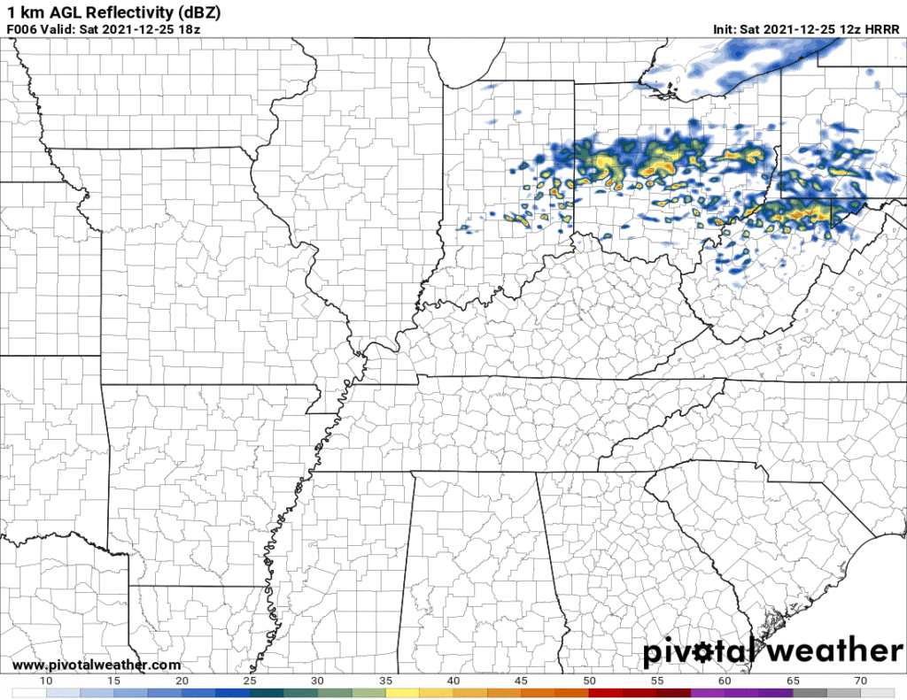
Few raindrops may cross by tonight. Inconsequential. Alter no plans. HRRR model:

Monday and Tuesday may bring showers. Models think just rain, off and on, more Tuesday than Monday. Nothing to worry about either day.
Windy, & About Those Rumors of Bad Weather Next Week
Hello, dear reader, Merry Christmas Eve. My father is in the other room, appalled while watching The Office for the first time, comedy is occurring here.
But first.
Did you spend Eighty Thousand Dollars on a Christmas vehicle? Big red bow on it? Got plans for a cheesy reveal featuring your perfect teethed fam? And you hatched and executed said plan without saying anything to your spouse about it? Well if you have that thing parked for the Big Reveal near a roof sheltering children, the wind is coming for you my friend, strong enough to blow four of Santa’s reindeer and the front right side of his sled through its rear window, windblown by an act of justice, comedy, or tragedy, and a moment of introspection surely awaits.
Tornado Watch #2
Tonight’s second Tornado Watch has been issued.
The first Tornado Watch was issued earlier tonight. It had an expiration of 2 AM.
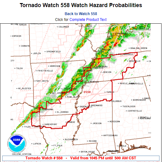
The tornado threat will extend after 2 AM. So a second Tornado Watch has been issued. This one expires at 5 AM. That does not mean the tornado threat will be over at 5 AM. Do not interpret this as an all clear after 5 AM. It’s possible a third Tornado Watch will be needed. Watches typically only go on for 6 hours.
Tornado Watch Until 2 AM. This May Not Be The Last Watch We Get Overnight.
The Storm Prediction Center, in coordination with NWS-Nashville, has issued a Tornado Watch for Davidson and Williamson Counties.
This Watch will continue until 2 AM.
Important! A second Watch (Severe Thunderstorm or Tornado) may be (probably will be) needed after 2 AM. We will not be clear of the straight line wind or tornado danger until probably 9 AM or so. (SPC doesn’t issue 12 hour long Watches for anything; too much can change.).
The First Purple Fake Out of the Szn; Frost is Coming
Heat Advisory 11 AM to 7 PM. Heat Index 105°+.
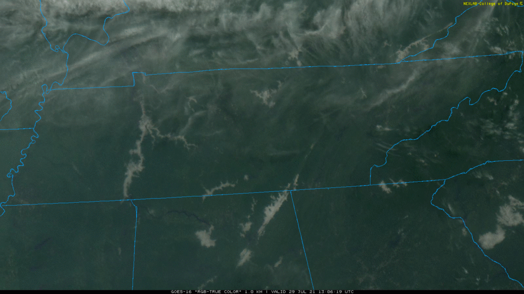
Fog formed on area lakes and rivers overnight. Here’s the sat view of it mixing out.

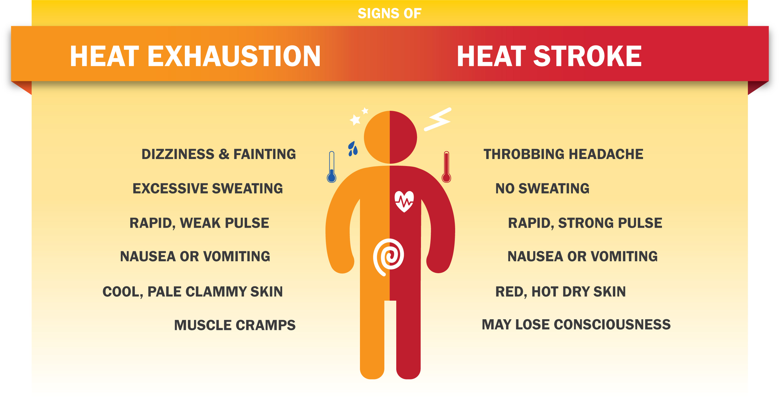
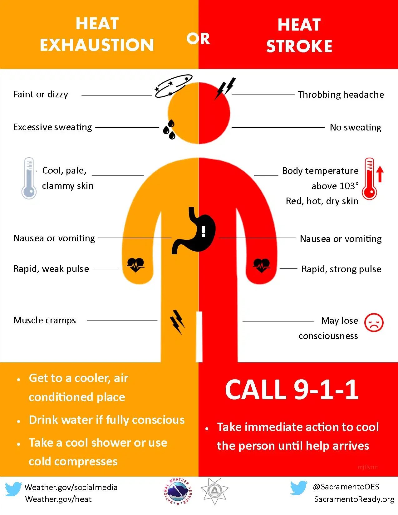
Today watch for these signs.
A Heat Advisory starts at 11 AM and ends at 7 PM tonight. This means the temp/humidity combo will push the heat index/feels like temp to 105° in shaded areas. Much hotter in direct sunlight. Our local heat index should hit 107° in Nashville and 106° in Franklin. You know what to do. Take breaks, guzzle water, etc.