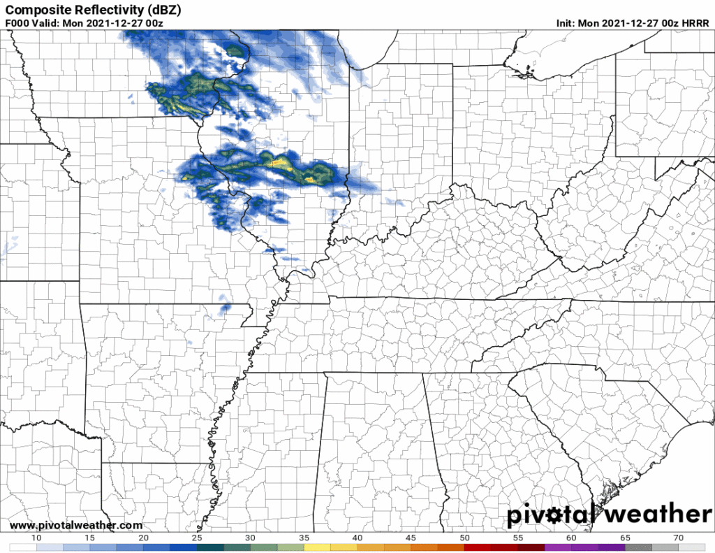
Below the HRRR model shows rain off and on through Tuesday night, not much, mostly Monday night and Tuesday, no washout.

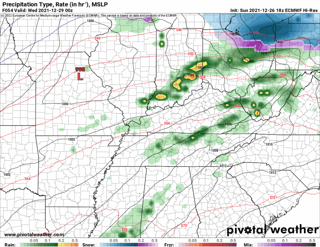
Then Wednesday even more rain as seen by the Euro model below.

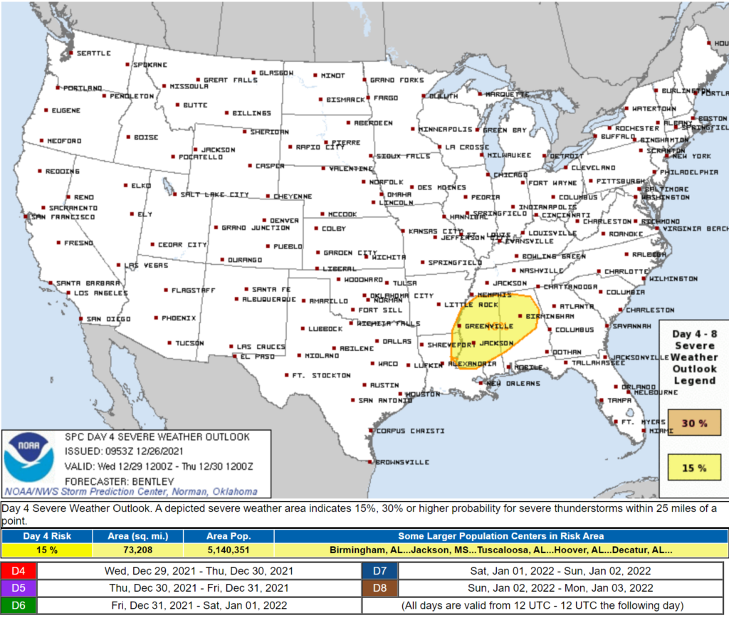
Now this may be a washout. Perhaps even thunderstorms but the severe threat is more likely well south of us as depicted by SPC:

This will be watched but I’m not concerned right now.
Rain may linger into Thursday but the real reason I’m writing this tonight is the weather for NYE/NYD when there may be severe weather somewhere in a gigantic region, us included. Ehhhhh probably Saturday. But remember this is a Maybe, and if so, Maybe not us.
This system looks “more potent” than Wednesday’s (which is meh for us, it’s setting a low bar) but NWS-Nashville describes it as
something to keep an eye on.
Which is comforting because all they do is watch the weather.
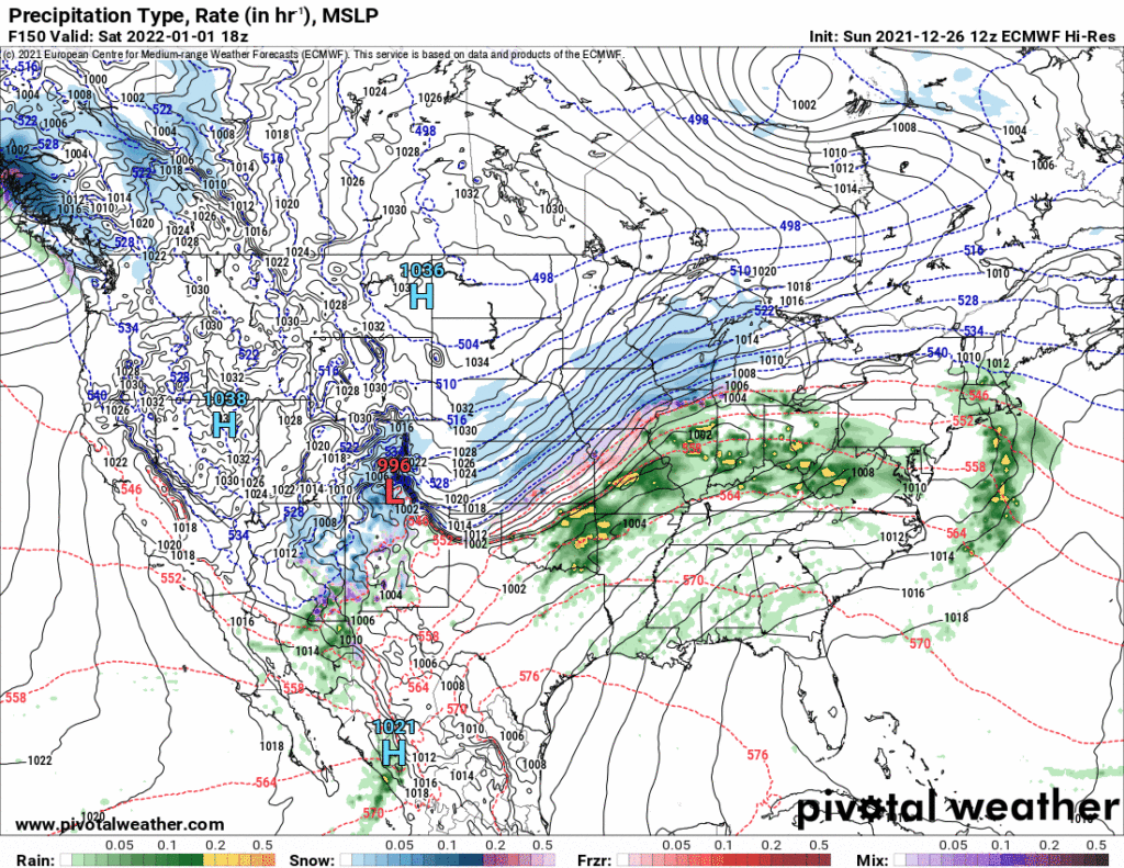
Models are inconsistent which means we have to eliminate certainty, specific hazards, timing, and whether we will get smacked by anything at all. Rain looks likely but that’s the only thing we’re kinda sure about. Why the fuss? Below is the Sunday 12z run of the Euro showing the low passing north of Middle Tennessee, us in the warm sector, and a cold front coming in, but those are only a few of the many, many things you need to Start Worrying (so don’t worry):

And yes, a week from now a few models show bleep wrapping around the back of this system but neither party nor panic, this is the time of the year models often show bleep. Bleep rarely happens.

Sure the Euro and GFS and GDPS all show bleep but This Is What They Do, this right here

The models show bleep and say this time Charlie Brown you will put your foot on bleep and then doh.
Certain portions of this post were bleeped, reasons 95% intellectual honesty, 5% comedy.
Categories: Forecast Blogs (Legacy)


You must be logged in to post a comment.