Tonight – Slight Chance of Rain – High 77

Clouds have once again held down our temperatures. There will be hit/miss showers this evening.
Here is how the HRRR model plays things out Saturday 5 PM – Sunday 1 AM:

Tonight – Slight Chance of Rain – High 77
Clouds have once again held down our temperatures. There will be hit/miss showers this evening.
Here is how the HRRR model plays things out Saturday 5 PM – Sunday 1 AM:
Tonight – Slight Chance of Rain – High 78
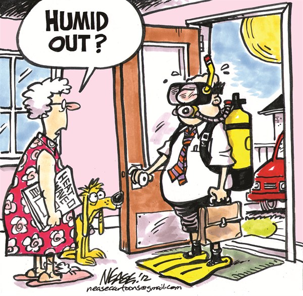
Clouds today have really held down the temps, but humidity has increased. HRRR & NAM models deliver a few light showers tonight and overnight. They’ll be hit/miss.
Tonight – Slight Chance of Rain – High 81
Light rain showers could push in late tonight/early tomorrow morning as moisture begins to pump in from the southeast. No significant rain – just some extra dew.
Tonight – Cool – High 77

Well, this has been awesome. Expect a nice wind out of the north tonight.
Thursday – Still Nice Out – High 83
7a 58 . 10a 71 . 1p 79 . 4p 82 . 7p 78 . 10p 71
Very similar to Wednesday. Maybe you can go fishing, like this guy:
Tonight – Pretty Good – High 87
The sprinkles felt today marked the arrival of the cold front (a gift from Canada, eh), and the end of Humidity-pocalypse (or, as the The Weather Channel may call it: WetDisneyFishRomangodThor).
Tuesday – Rain Ending – High 87, Humidity Dropping Late
7a 72 . 10a 80 . 1p 85 . 4p 87 . 7p 82 . 10p 73
The cold front will be hard at work delivering much cooler, more comfortable weather. You survived dew points 75+. You deserve a
Tonight
A few more showers are possible, but rain chances will decrease after dark. However, plenty of storm-juice to feed on will remain overnight. Lightning, heavy rain likely inside the few “rogue” storms which do develop.
Sooo, What Happened? Why Didn’t It Rain?

Last night and this morning, all indications said rain. Sure enough, this morning a lot of rain was streaming east from Arkansas and West Tennessee, moving our way. Our NWS quickly issued a Flash Flood Watch.
First, let’s review final rainfall totals from Thursday’s Flash Flood:
Despite destroying the record of 1.99″ set in 1923, the record remains because the official measurement is taken at the airport, where rainfall totals didn’t even approach 1.99″.
Tonight & Tomorrow – Rain Likely – Saturday’s High 88
Fri 7pm 79 . 10pm 77
Sat 7am 74 . 10am 82 . 1pm 86 . 4pm 88 . 7pm 85 . 10pm 77
Behold this epic, informative run-on sentence from the NWS afternoon forecast discussion:
THE ATMOSPHERE ACROSS A BROAD SWATH FROM PLAINS THROUGH THE TENNESSEE VALLEY IS LADEN WITH MOISTURE WITH THE BEST MOISTURE TRANSPORT TONIGHT BEING FROM NORTHERN ARKANSAS ACROSS WEST TENNESSEE AND THE NORTH HALF OF MIDDLE TENNESSEE WHERE LOCALLY ONE INCH OR MORE OF RAIN COULD FALL AT JUST ABOUT ANY LOCATION IN MIDDLE TENNESSEE OVERNIGHT WITH MORE LOCALLY HEAVY RAINFALL DURING THE DAY ON SATURDAY AS SURFACE FRONT TO OUR NORTHWEST SAGS DOWN INTO MIDDLE TENNESSEE BEFORE LIFTING BACK NORTHWARD AS WARM FRONT BECOMING STATIONARY ALONG THE OHIO RIVER BY SUNDAY.
Note — New post coming Friday afternoon.
Friday – Some Strong Storms Possible – High 88
7am 74 . 10am 82 . 1pm 86 . 4pm 88 . 7pm 85 . 10pm 79
A weakening line of storms is modeled to approach in the morning. We are hoping it will move through fairly quickly and not be a repeat of Thursday, but if the storms “train” or stall, we could be looking at more flooding.