Note — New post coming Friday afternoon.
Friday – Some Strong Storms Possible – High 88
7am 74 . 10am 82 . 1pm 86 . 4pm 88 . 7pm 85 . 10pm 79
A weakening line of storms is modeled to approach in the morning. We are hoping it will move through fairly quickly and not be a repeat of Thursday, but if the storms “train” or stall, we could be looking at more flooding.
Hi-Res NAM model Friday 5 AM – 1 PM:

We may see a few afternoon/evening pop-up, hit-or-miss thunderstorms. Some may be strong, and maybe severe.
The SPC puts us under a 5% chance of severe weather happening within 25 miles of you:

Saturday – Scattered Strong Thunderstorms Possible – High 88
7am 74 . 10am 82 . 1pm 86 . 4pm 88 . 7pm 85 . 10pm 78
The very humid, unsettled weather pattern continues. More afternoon pop-up showers and thunderstorms are expected. We don’t know when or where. This is little consolation to party planners and brides.
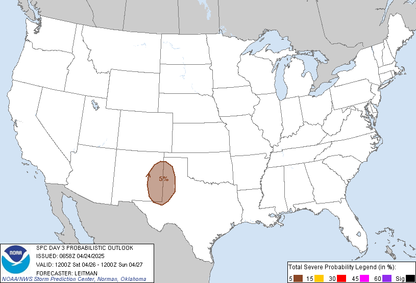
SPC gives us that familiar 5% chance of severe weather happening within 25 miles of you:


 Log In To Facebook To Comment