Severe Weather (Kinda) Possible Tuesday

Severe Weather Possible Tuesday Morning (Kinda)

Rainy & Cloudy Monday: 40°/63°

The HRRR model’s simulated radar thinks light rain will be close to us around lunchtime.

This will be off/on rain, and really not very much of it. Expect less than 0.10″; rainouts appear unlikely. read more

Severe Weather Possible Tuesday

Severe Weather Possible Tuesday

Cloudy & 60° Sunday

It’s cloudy and warmer today because winds are blowing in from the south, carrying moisture and warm temps with it. read more

What Didn’t Stick Today May Freeze After Midnight

It Didn’t Stick

Evaporative cooling lowered freezing temps enough by late this morning to change the rain/mix into big, wet flakes. Unless you were at elevation, it fell and melted. Temps have been well above freezing all day. read more

It’s Just Rain

It’s Just Rain

Rain is moving through this morning. Some radars are coloring it as snow; others as rain. We aren’t worried about it.

Overnight, temperatures never really approached freezing, staying mostly in the upper 30°s. Here’s what they were just before 6:30 AM: read more

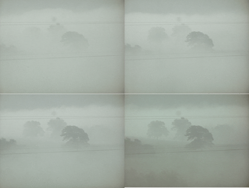
Fog Tonight/Overnight; Unseasonably Warm Week Ahead

Another Foggy Night

Locally dense fog remains possible beginning at midnight tonight lasting through the mid-morning hours on Martin Luther King Jr. Day.

The main weather story Sunday night and Monday morning is the rain, ice, and snow in the Plains.

The HRRR model illustrates:

That wintry weather will not come here, but the rain will. The rain ETA has bounced between late Monday night and early Tuesday morning. Bet on Tuesday morning. read more

One Last Night Below Freezing; Windy, Wet, Rainy Week Ahead

One More Night Below Freezing

We never officially got above freezing at BNA (high 30°), but remember, the official temp is measured inside a shade box. Sunlit areas very likely rose above freezing, aiding in snow/ice melt.

Ice you can see, and black ice you can’t see, should still be an issue on many secondary roads tonight and in the morning. We will drop to 20° before the sun comes up Monday morning. read more

Warm & Wet Week Ahead

Warming Up: 29° Today, Still Below Freezing

Officially, BNA dropped to 8° this morning. A few personal/COOP weather stations around town went lower, 2° in Brentwood and 3° in Franklin.

Today’s official high is 29°, but that’s in the shade; most places exposed to the sun should go over freezing and evaporate/melt the snow. Shaded areas will have a more difficult time clearing ice/snow. read more

Winter Weather Advisory Cancelled; Very Cold Overnight/Weekend

Current Radar

Review of the Morning Events

We went to bed last night expecting under 1″ of snow along and south of I-40, with no accumulating snow north of I-40, as seen here:

Friday's expected snow totals, via @NWSNashville pic.twitter.com/kO8z9Xv55H read more

Snow Q & A

There are Two Chances for Snow over the next 24 hours.

Chance #1: Thursday, From Now Until 9 PM

Should You Panic? No.

Why Not? Most of it looks like it will go north of us.

Our current radar also shows the majority of it skating across the southern Kentucky border which is what the HRRR model below thought it would do. read more

New Model Data Has Arrived To Add More Confusion & Uncertainty

Tonight – Super Chill Forecast

Clouds are increasing. Tonight is just another cold night. The Winter Weather Advisory is not for tonight.

Winter Weather Advisory from Thursday at Noon Until Thursday at Midnight

Current expectations: under 1″ of snow

Mixed model signals betray any meaningful confidence in the forecast

Here’s the text of the Winter Weather Advisory:

national-weather-service-watch-warning-advisory-summary-google-chrome-2017-01-04-16-10-19

This advisory DOES NOT MEAN we will get a lot of snowfall. We are currently expecting up to one inch but will likely see less than that. A dusting appears more likely. read more