The Week Ahead: Dry Start, Wet Finish

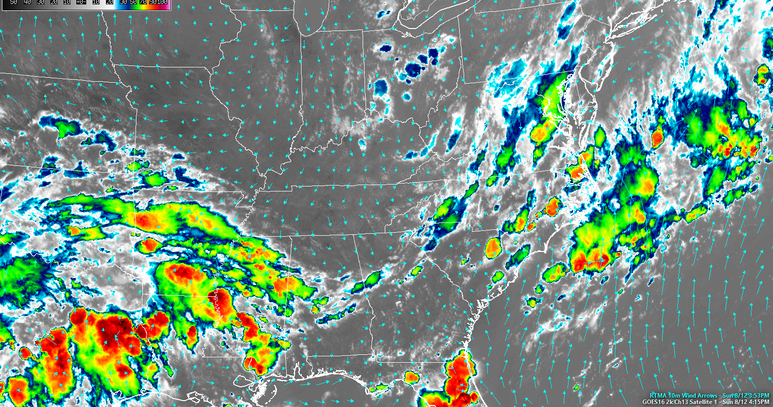
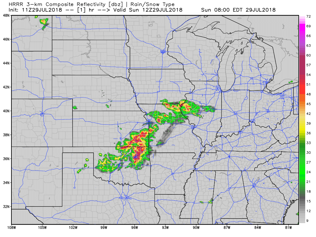
Dry air arrived early this morning, and settled in this afternoon:

Colors indicate cold clouds tops (rain and storms). Grey is dry and clear.

Early Morning Fog Again

The temp and dew point temps will be close together, so watch out for fog in usual spots near bodies of water. read more

A Few Quiet Days Dome Conspiracy Theorists Will Love; Rain Chances Return Late Wednesday/Thursday

This morning, a frontal boundary parked south of us. We’re on the northern, dry side of it. Behold mid-level infrared satellite images this morning. The coral, orangy stuff is the drier air. Green is the rainy air. read more

Rain This Week. Some Of Us Need It.

I found my contact. It fell on the floor. I washed it then located my glasses.

That mid-afternoon thunderstorm did this:

Lighting strike in Wedgewood Houston pic.twitter.com/I6ZRoLoXPC

— Kyle Yates (@kyledyates) August 5, 2018 read more

Humidity Up, Afternoon Rain, Thunderstorm Possible.

I’m writing via Chromebook in an Atlanta hotel. Not optimal. I’ll be light on graphics this morning.

Today’s dewpoint will climb close to 70. That’s near-oppressive humidity.

Today’s high is 93. Add that to a more humid airmass and you get a heat index up to 97 this afternoon. read more

Off and On, Hit or Miss Rain Tonight and Overnight

At noon, satellite showed a weak weather system brewing to our west.

It’s moving this way.

Rain is likely later today and tonight. Showers will be hit or miss. Expect unequal distributions of rain in both our counties, and in Middle Tennessee as a whole. read more

Nice Today, Rain Tomorrow & Tuesday

Sunday will be fantastic. Low 60° dewpoints mean another day of low-for-summer humidity. The temperature will cooperate (High 90°).

Rain & Higher Humidity Return Monday

Rain Monday and Tuesday is coming from the Plains.

Timing

That’s ^^^^ the HRRR model running through midnight tonight. Today’s storms in Oklahoma and Nebraska will shift east and weaken, but  a few showers may survive the journey so don’t be surprised if you wake up to wet pavement. read more

Only 84°!! Maybe a Passing Shower Later Today.

Summer breeze, out of the north, 10 MPH.

An unusual-for-July upper level low is bossing our weather and bringing much cooler temps. Highs today and tomorrow: 84°! Only 84°!

Still a bit humid, but no oppressive humidity. read more

Week Ahead: Humid, Several Rain Chances, Dry Wednesday, “Interesting” Weekend

Light rain is moving closer and should arrive tonight, but do not expect a repeat of what we saw this morning.

All quotes (but one) from NWS-Nashville:

Many of the storms should dissipate this evening but the threat for additional storm development will continue overnight and Monday as the upper level trough approaches VERY SLOWLY before finally moving east of Middle TN. The threat of heavy rain will continue due to the rich moisture but threat for severe storms is muted due to marginal CAPE values. read more

More Rain Today?

Flash Flood Warnings are ongoing this morning in the counties immediately west of us.

Radar estimates through 9 AM show where the heaviest rain has fallen:

There was also 2″ of rain down I-24 in SE Davidson County, near/around Cane Ridge. read more

Weekend Forecast: Sweaty, Not Too Shabby

It’s Friday the 13th and an Intern broke bad by missing the “write the blog” assignment this morning which is what happens Friday, the Thirteenth and why you’re getting this at 6 PM. read more