
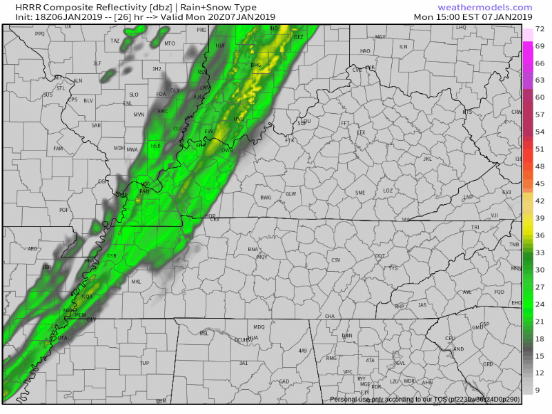
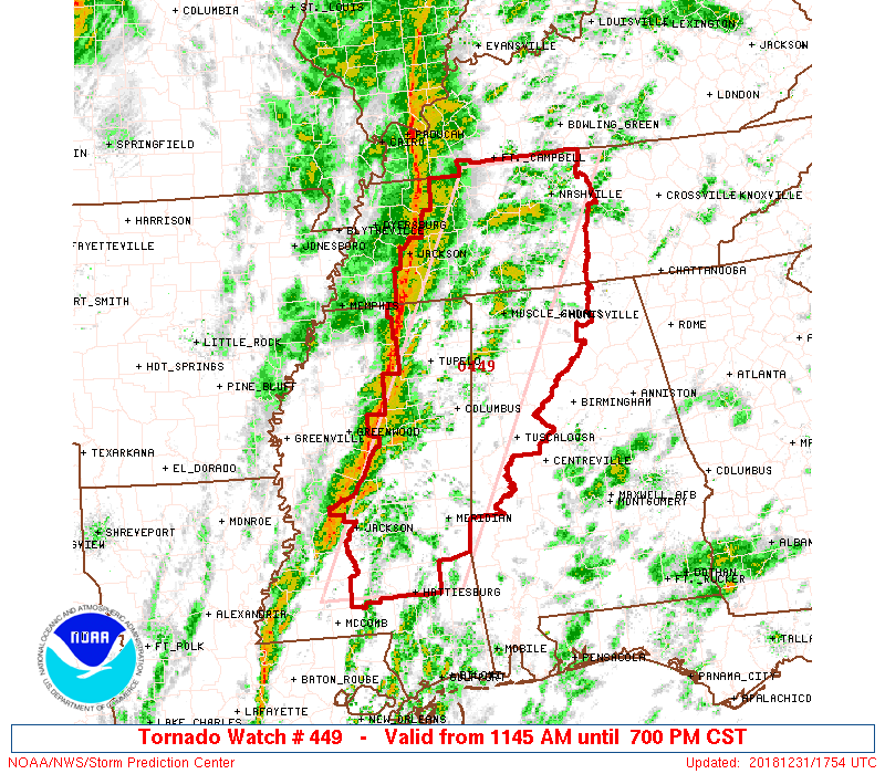
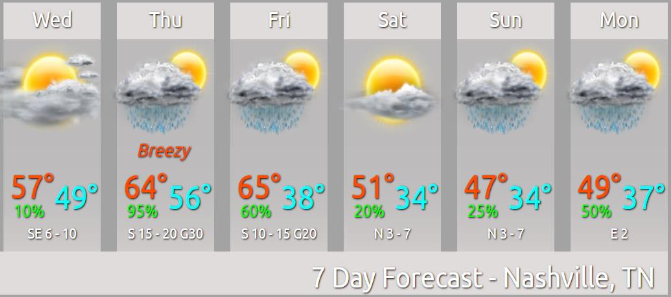
Rain should be here Monday.
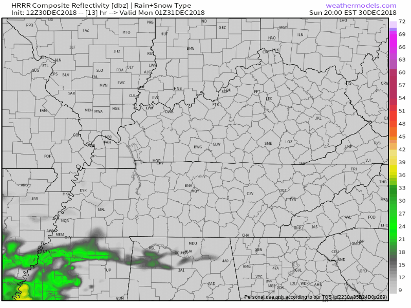
HRRR model:
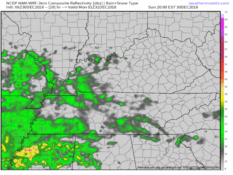
NAM3 model:
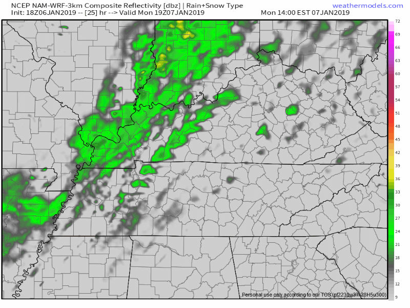
When: Although a few morning showers possible, the main rain event begins around 3-4 PM and should end a few hours later. ETA may need adjustment tomorrow morning, but models today have been consistent with these ETAs and ETDs.


You must be logged in to post a comment.