
Rain and a few nonsevere lightning storms should be around Middle Tennessee today. Most models think so, not all of ’em. None agree on exactly where so let’s all cross our arms and look at the models disapprovingly. Models don’t care tho, they show:

Rain and a few nonsevere lightning storms should be around Middle Tennessee today. Most models think so, not all of ’em. None agree on exactly where so let’s all cross our arms and look at the models disapprovingly. Models don’t care tho, they show:
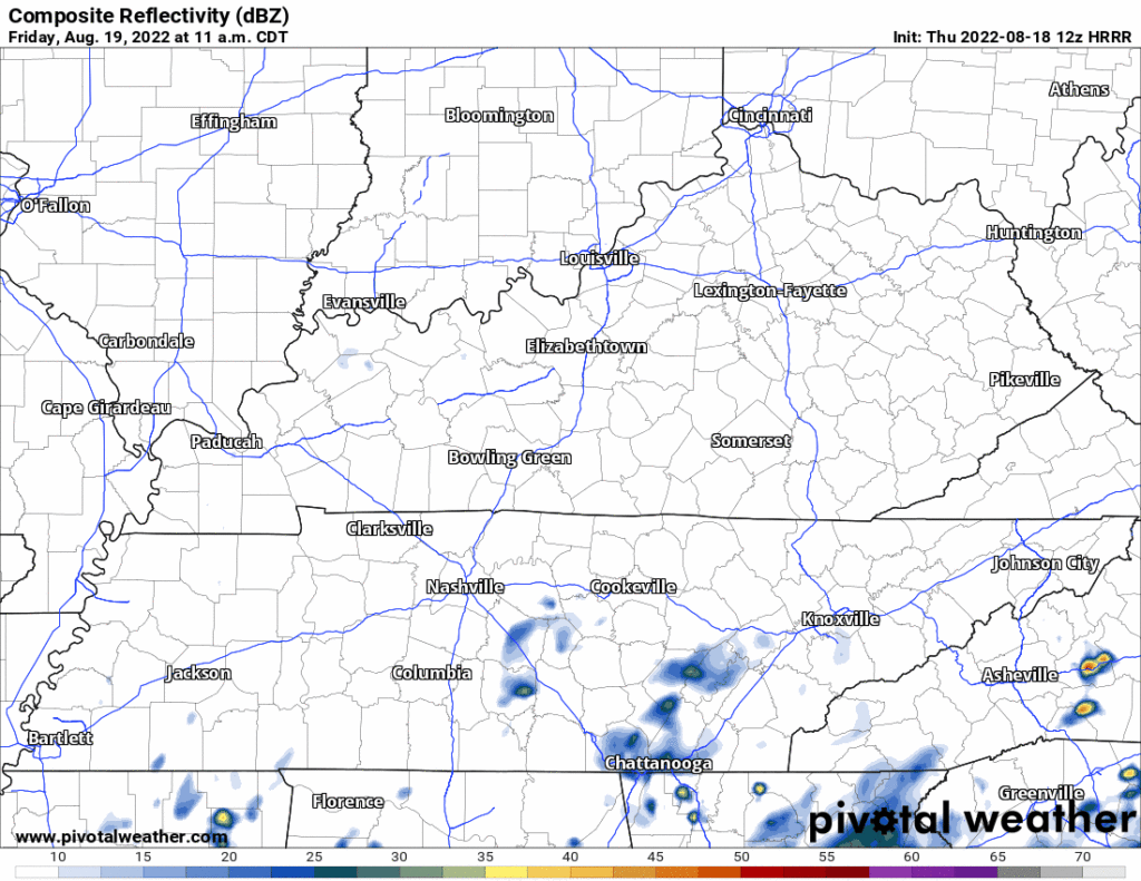
Rain is not expected today. The HRRR has a few showers widely scattered around Middle Tennessee late tonight. Nothing consequential.
More humidity starting Thursday and lasting through the weekend (at least). The Wattery may choose you with a downpour or lightningstorm, so for most of you reading this you likely won’t see anything. Typical August weather, you need to be prepared for an afternoon or early evening downpour or ⚡.

First can I please say this was harsh. There are now weather vacancies in Hungary.
All the rain is south of us today. It may flood today in northern Louisiana into west central Mississippi so if you’ve got fam down there heads up.

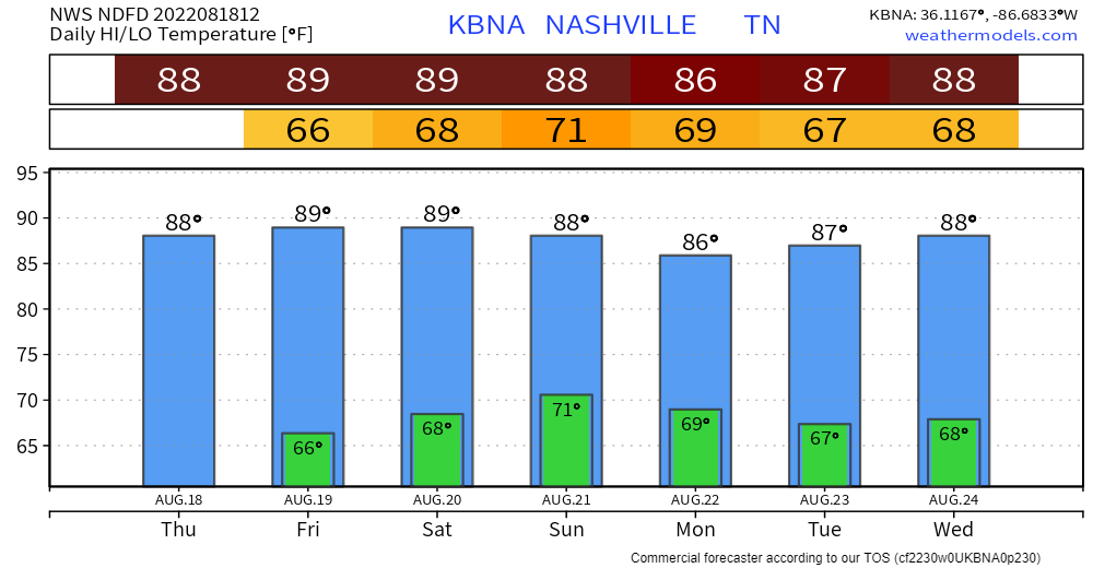
Boring, “normal” week ahead.

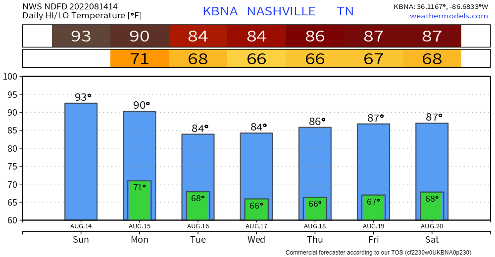
Temps normal for late August.
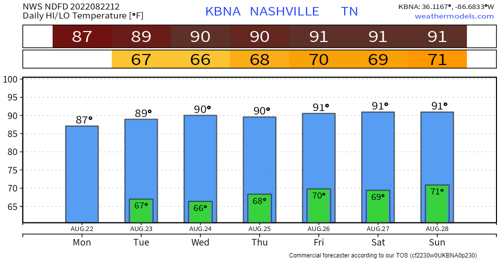
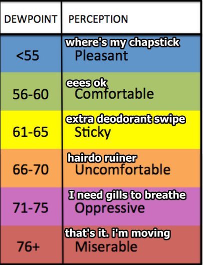
Humidity kinda low for late August, dewpoints in the low 60s.
It probably won’t rain here Weds afternoon and Thursday, but rain then is possible. Rain this week is expected to slide south of us through Mississippi-Alabama-Georgia with some flooding risk down there. Models think there’s a 10% probability some of that rain will sneak north and splash us Weds, with around a 30% to 40% probability Thursday (see below).

Remember when we were all SMHing over the 90° days? We were looking at August coming with the dread and Oh Noes? Well…
Just one 90°.
Humidity up to uncomfortable levels is teaming with Other Atmospherey Things You Don’t Care About to create a weekend full of so-so rain/lightning chances.

89° is the mid/late August average high.
Great job everybody:
No tornadoes in this forecast but there is rain:
Quick References:
Weather changes constantly.
Follow @NashSevereWx on Twitter for any changes to this forecast.

Fog should mix out around 9 AM. It’s not gone in the classic sense, it still exists, it just won’t be here for a long time.
Rain in West TN this morning should miss us. Models pass it south of us:

A few small, light showers are in Middle Tennessee on radar this morning. None of them local, none of them of any consequence.
The HRRR model is dry for us. NAM thinks a few barely-even-rainers could streak through. Look to the north for any shower coming down.
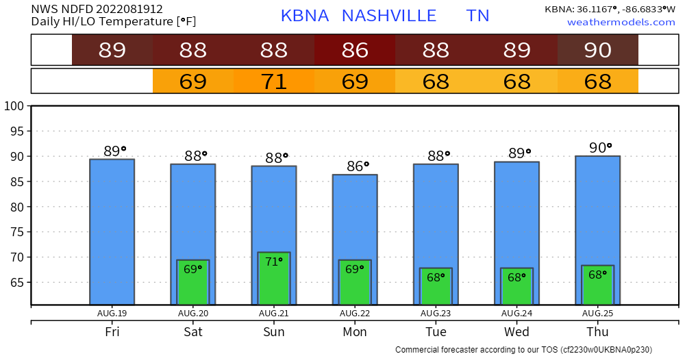
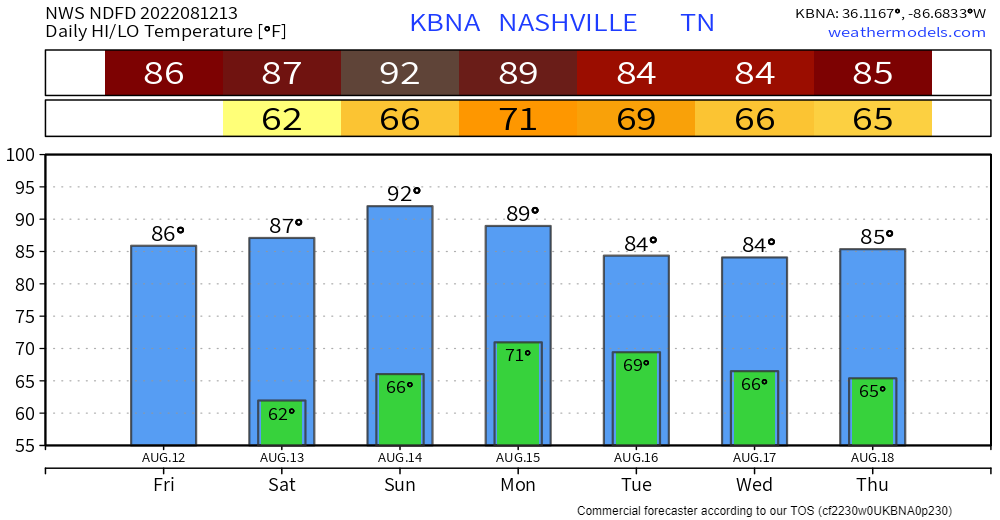
Humidity is a up a bit today but nothing like it was last week.
Models have a few inconsequential showers around Middle Tennessee today but none here locally and nothing that would impact outdoor plans.

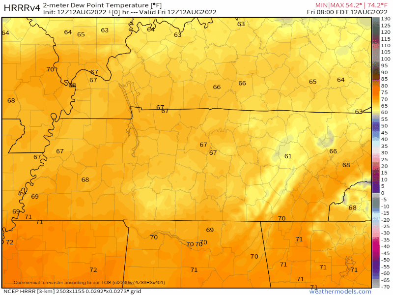
A north wind is carrying drier, less humid air into town. Check out these dewpoints today through Sunday morning:
It’s not Fall tho, so delay your PSL excitement, temps are still Summer:
But it’s OK to celebrate this Big Weather Improvement. NWS-Nashville suggested leaving your windows open tonight!
You must be logged in to post a comment.