

Fog should mix out around 9 AM. It’s not gone in the classic sense, it still exists, it just won’t be here for a long time.
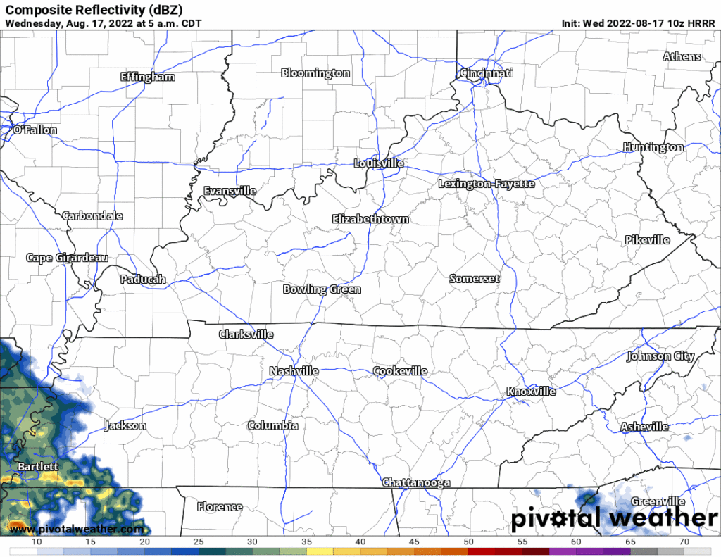
Rain in West TN this morning should miss us. Models pass it south of us:
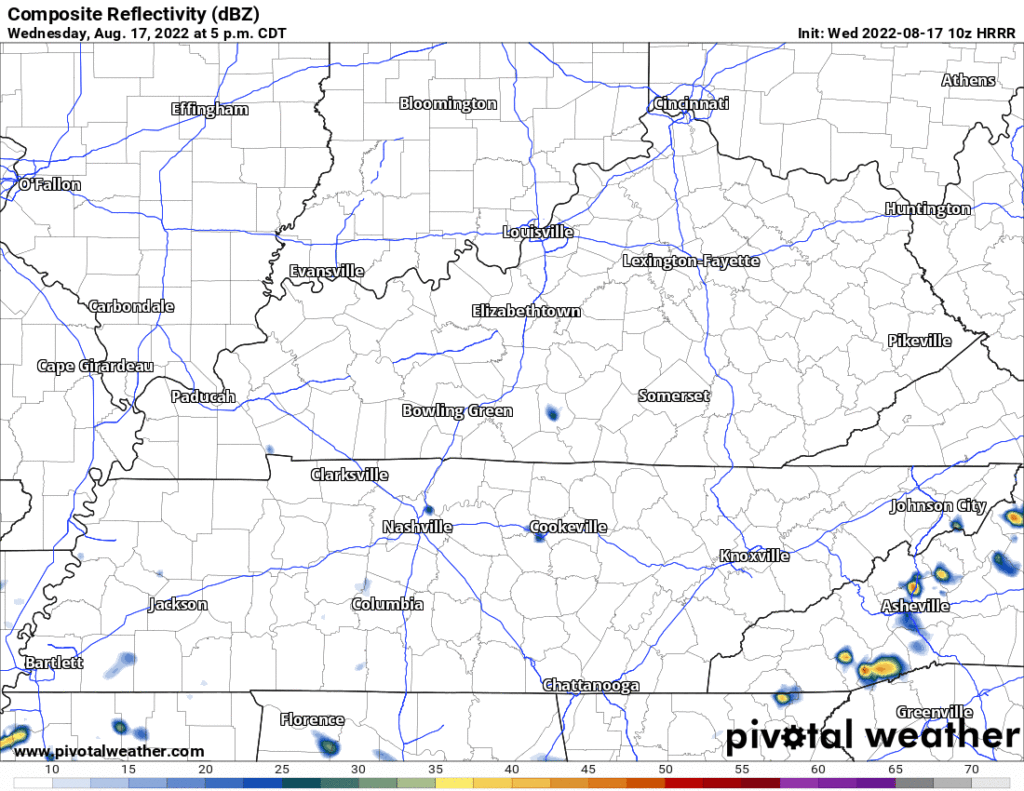
Early tonight the HRRR has a few showers pop up but I don’t believe that and you probably shouldn’t either:
So, then quiet for a few days. But temps (and humidity) will rise closer to August normal (temp highs 89°, sticky humidity).
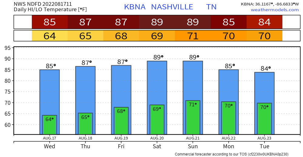
Wattery Szn returns Friday with afternoon/early evening pop up downpours and even a few lightningstorms possible. Any one location is unlikely to get stormed, but some of y’all may win the Wattery, so plan accordingly. Alert readers know there is no X ETA for Y location, it’s a lottery!
The Wattery will hang around over the weekend. Then:
A much stronger surface system will begin impacting Middle Tennessee Sunday night and Monday and this will also be accompanied by a deep upper trough. Cooler temperatures and even higher rain chances will stay with us until at least the middle of next week. QPF values from Sunday night through Tuesday look to be particularly robust…
NWS-Nashville, Morning Forecast Discussion, 8/17/22
Early next week looks pretty wet. Around 2″ of rain over three days or so. We’ll see about that. Forecast data can be unreliable at this range.
Quick References:
Weather changes constantly.
Follow @NashSevereWx on Twitter for any changes to this forecast.
Live coverage during tornado and severe thunderstorm warnings.

Look good.
Support the mission.

We are 100% community supported. No ads. No subscription fees. Keep it free for everyone.


Categories: Forecast Blogs (Legacy)
You must be logged in to post a comment.