
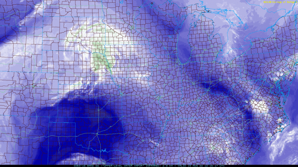
A few small, light showers are in Middle Tennessee on radar this morning. None of them local, none of them of any consequence.
The HRRR model is dry for us. NAM thinks a few barely-even-rainers could streak through. Look to the north for any shower coming down.
But no meaningful rain expected today or Tuesday.
Winds shift north and deliver cooler air beginning tomorrow:
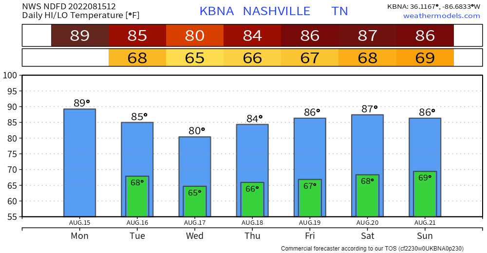
Temps are low Wednesday because a wave of rain might get to us. The NAM shows it getting us Weds morning:
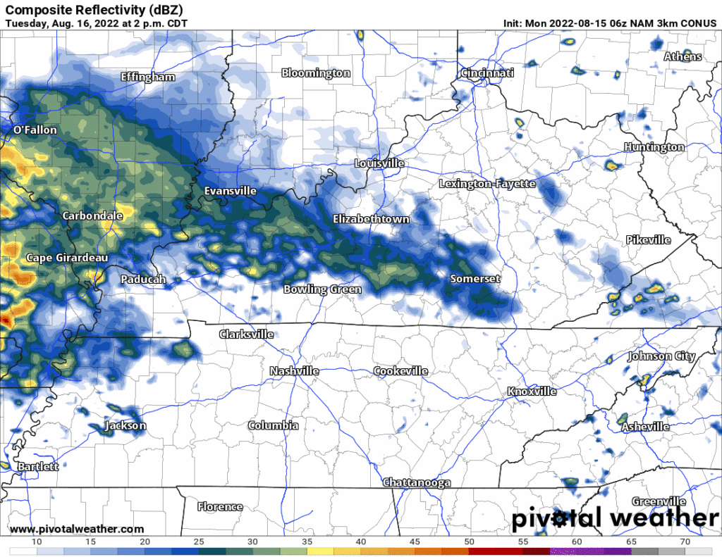
But both GFS and Euro models think it’ll miss us to the southwest.
Humidity will go back up to near Uncomfortable beginning Thursday and continue there through the weekend. We may see afternoon pop up showers or storms each day during this time.
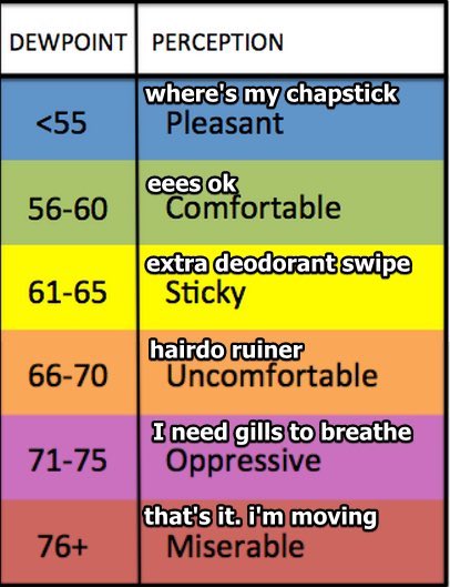
That’s right! The Wattery is coming back.
Quick References:
Weather changes constantly.
Follow @NashSevereWx on Twitter for any changes to this forecast.
Live coverage during tornado and severe thunderstorm warnings.

Look good.
Support the mission.

We are 100% community supported. No ads. No subscription fees. Keep it free for everyone.


Categories: Forecast Blogs (Legacy)
You must be logged in to post a comment.