
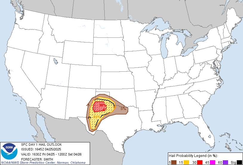
This morning at 11:30 a.m., the Storm Prediction Center (SPC) wrote that our atmosphere
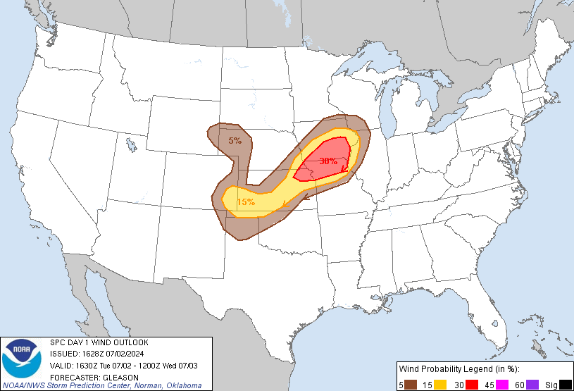
appears favorable for a cluster of storms to evolve in one or two bands that could include embedded supercells/bowing segments with large hail and . . . especially later this afternoon . . . damaging wind.
SPC thinks there is a
- 15% probability of large hail (1″+) falling within 25 miles of you:
- 15% probability of damaging winds (58+ mph) happening within 25 miles of you:
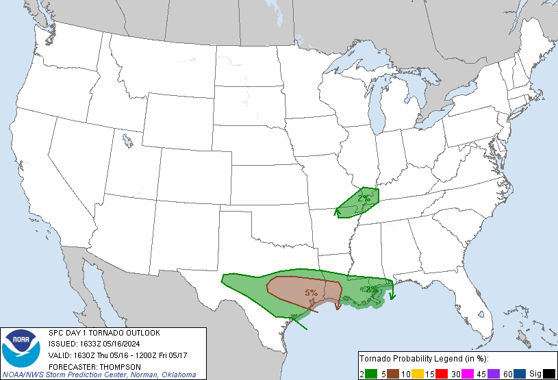
- 2% probability of a tornado occurring within 25 miles of you:
The HRRR expects storms to form quickly and run through both counties at 2 p.m. today:

As predicted, these storms are starting to form. NWS already thinks they’re capable of 1/2″ hail and 40-50 mph winds. Our ETA is after 2 p.m. Additional and updated information will be found on Twitter @NashSevereWx.
Send reports of severe weather (wind damage, hail, tornado) to the NWS by tweeting it from any account with the hashtag #tSpotter.
Categories: Forecast Blogs (Legacy)