Temp/Wind Chill, Rain, Snow next 48 Hours:
Wednesday – Fog Early, Cloudy & Drizzly – Wake Up 43°, High 53°
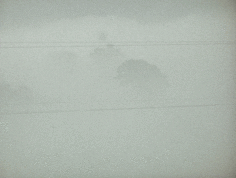
Fog is likely in the early morning hours.
After the fog mixes out, expect mostly cloudy skies, and maybe a passing light shower or two. No washout or other ruinous rainfall is expected. NWS only has 0.02″ of rain forecast.