Temp/Wind Chill, Rain, Snow next 48 Hours:
Wednesday – Fog Early, Cloudy & Drizzly – Wake Up 43°, High 53°
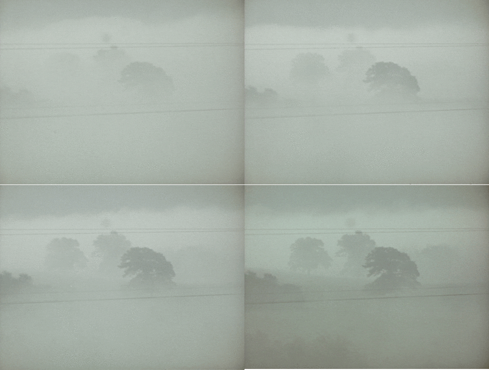
Fog is likely in the early morning hours.

After the fog mixes out, expect mostly cloudy skies, and maybe a passing light shower or two. No washout or other ruinous rainfall is expected. NWS only has 0.02″ of rain forecast.
A high temp in the low-to-mid 50°s is normal for December 3.
Thursday – Overcast – Wake Up 38°, High 54°
Almost identical to Wednesday’s clouds and a chance of very, very little rain. Dewpoint depressions shouldn’t be as pronounced, so maybe we won’t have fog to contend with in the morning. It will be a little chillier in the morning, though.

Friday & Saturday – Rain Arrives – Highs 63° Friday & 59° Saturday
A storm system over the Central Plains on Friday will arrive Friday night, providing a good chance of rain lasting into Saturday.
This rain should last into Saturday. From the GFS-b model, the rain should hang around until dark:
Just under 1″ total of rain is expected.
We begin clearing out Sunday. Sunshine should return Monday & Tuesday.
This website supplements @NashSevereWx on Twitter. You can find us here.
Categories: Forecast Blogs (Legacy)


