
Our local NWS office issues a technical forecast discussion at least twice a day. They’re filled with information, and often contain terms that are understood by the weather community, but perhaps, not many others. However, today’s discussion is perfect for just about everyone. Didn’t see much of a need to re-invent the wheel…except for maybe substituting a word or two. Read on.
From NWS Nashville re: Saturday’s Rain Chances:
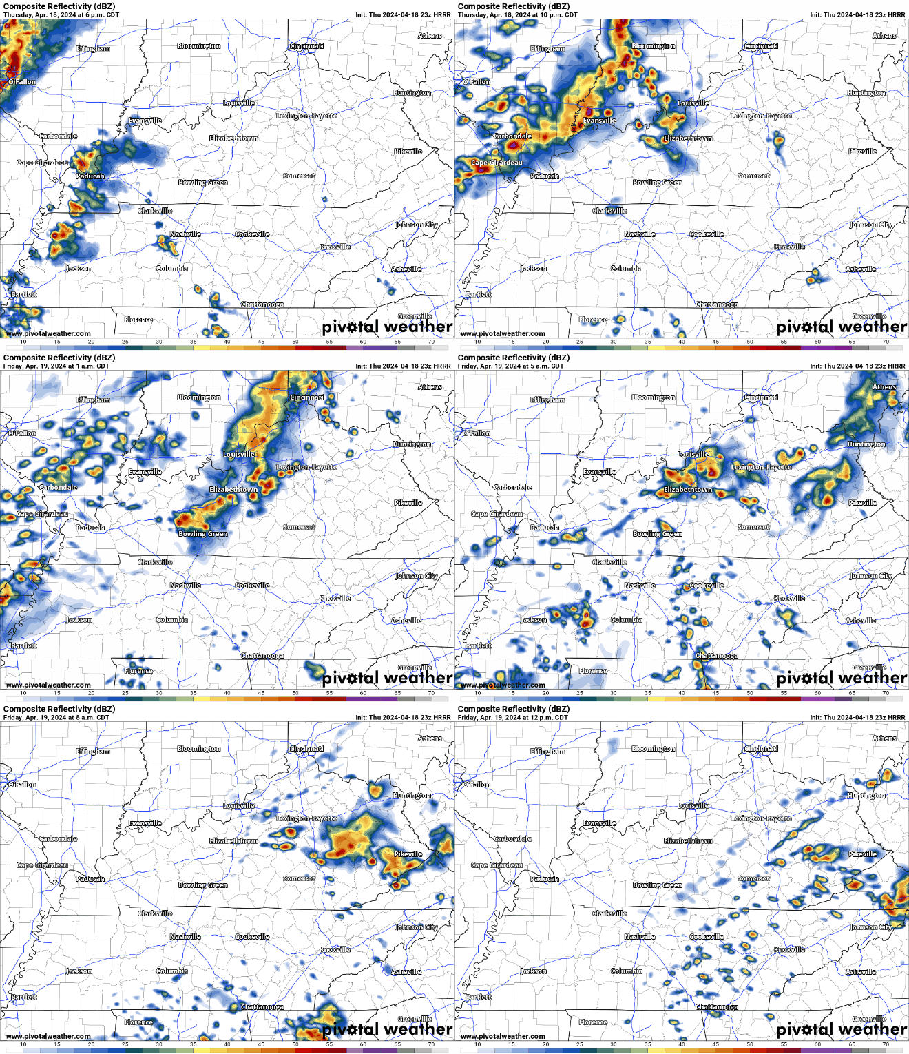
We continue to look for development of a [storm complex] up to our northwest
tonight. This batch of showers and storms will make a run at us by
Saturday morning, but most of the system will break up as it
encounters dry and stable air in place across Middle Tennessee.
Still, we could have a few brief showers or sprinkles as the
remnants of the system cross the area Saturday morning and midday.
We do not expect any thunderstorms with this activity. The main
result will be some mid level clouds and very brief light showers
that should not have much if any impact on outdoor events. read more



You must be logged in to post a comment.