Heat Advisory Today

Current Radar

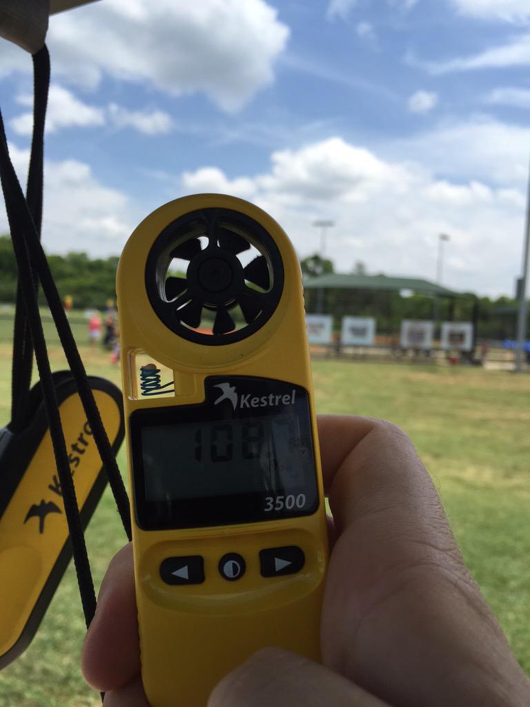
THIS EVENING – HEAT ADVISORY THROUGH 7 PM

Williamson and Davidson Counties are 2 of the counties under a heat advisory today until 7 PM this evening:

Another HEAT SAFETY Reminder:

Please take it easy out there for the rest of the day. Lows tonight will be mild, in the mid 70°s. read more

Hot, but Lower Heat Index Values

Current Radar

THIS EVENING: 85° by 7 PM 

It’ll still be quite warm by this evening, but skies should be mostly clear and the rain will continue to stay away:

Temperatures will bottom out in the low 70°s overnight.

THURSDAY – Higher Heat Index Values = Higher Heat Danger – Wake Up: 72º, High: 96º

As if we didn’t have enough heat in the vicinity, a warm front will pass through early on Thursday. read more

Hot & Chance for Storms this PM

Current Radar

This Evening – The Heat Continues 

As a front approaches this afternoon, we’ll likely see some showers, but not much in the way of thunderstorms. We are in a marginal risk for severe weather through tonight:

The HRRR and NAM4 Models are not in great agreement on timing or quantity. Here’s 8 PM: read more

Summer’s Here! (Storms This Weekend?)

Current Radar

Tonight – Rain Exiting

The rain we saw this afternoon stayed S of 40, and is moving out as I am writing this.

Tuesday – Another Hot Day – High: 94°

The upper level high continues to hover over us, letting temperatures rise a few degrees.

Another hot day indeed with mostly sunny skies and a dew point at 73°. read more

Rain Tonight? Meh. But Gonna Be Hot Tomorrow

Current Radar

Summer started at 11:39 AM. I love this GIF so imma leave it right here, new GIFs below …

… and gave us a big HELLO at Warner Park:

The heat index read 108° in the sun at 12:30 PM today.

Tonight – Rain? Maybe, But Probably Not

At 3 PM, a strong line of thunderstorms was forming along a south-moving outflow boundary located to our north across Kentucky. It prompted a Severe Thunderstorm Watch in KY: read more

Heat Wave

Current Radar

Nuance and detail will return in tomorrow morning’s forecast.

Today, this will do the job:

Sunday (94°), Monday (96°), Tuesday (97°), Wednesday (96°), & Thursday (92°) read more

One More Day of “Spring”

Current Radar

We got around 1″ of rain yesterday. As always, it varies on location. 24 hour rain totals through 7 AM:

Today – Clearing Out; Windy – High 88°

The tropical system responsible for last night’s rain is moving east. The HRRR model illustrates: read more

Going Out Tonight? Get Your Rain Gear

Current Radar

TONIGHT – Off & On Rain & Thunderstorms, Can’t Rule Out Strong/Severe

Hit up the above radar to see what’s happening right now.

Here is the HRRR FutureRadar:

The tornado probability is still very low, sitting a 2% anywhere within 25 miles of the green-circled area: read more

Chance for Showers/Storms this Afternoon

Current Radar

TODAY – Hot & PM Storm Chances – High: 93º

What’s left of Tropical Depression Bill is bringing us a lot of cloud cover this morning, and will continue to do so for most of the day.

That won’t keep things from heating up once again. However, heat index values are expected to stay below 100º today, thanks to the extra cloud cover. read more

Wanted: Synonyms for Hot

Current Radar

Here’s the big picture:

THIS EVENING – 89º BY 7 PM

It’ll be another hot, humid evening.

A few showers may still be around, though things will really quiet-down after sunset: read more