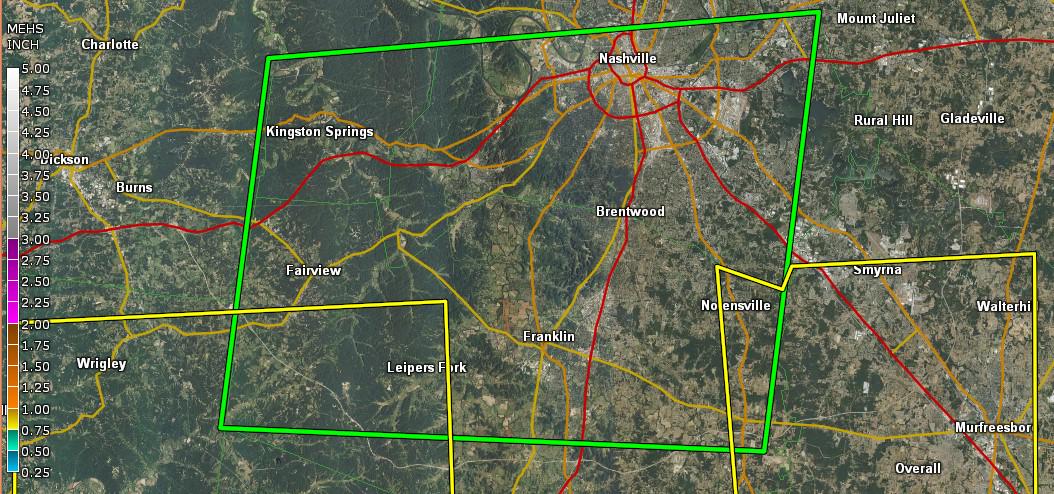
Hot….But Is Bill Bringing Rain?

Current Radar

This Evening – 88º by 7 PM

Warm and humid, though models are bringing more shower activity south to our area:

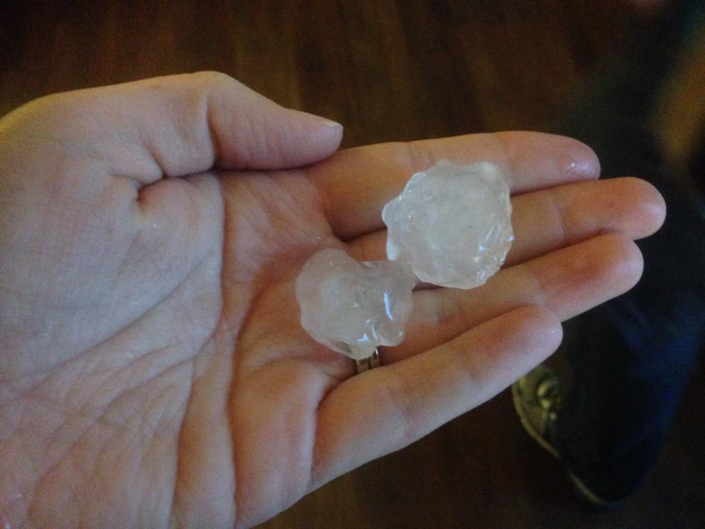
Some of us may catch a shower this evening as a cold front approaches from the northwest and moisture begins to roll-in from Tropical Storm Bill. read more

Heat Feels Bad

Current Radar

Tonight – Still Humid, 81° by 10 PM

Tuesday – Early: 73°, High: 94°

NWS-Nashville forecasts a max heat index (“feels like”) of 100°.

High pressure aloft is suppressing our rain chances. Rain relief unlikely.

Wednesday – High 93°, Max Heat Index 99°

Clouds Arrive Thursday, Dropping Temps, Reintroducing Rain Chances

This website supplements @NashSevereWx on Twitter, which you can find here. read more

Hot and Humid Today

Current Radar

Today – Hot and Humid H: 94°

It will be a hot and humid day today with a heat index value of 97°.

Can’t rule out some brief pop up showers around lunchtime. HRRR model shows a few showers around noon, but don’t worry! This looks pretty unlikely. HRRR model doesn’t always handle this well. read more

Hot.

Current Radar

We hit 90° today. The dewpoint reached 71°. The heat/humidity duo sent heat indicies in the low-to-mid 90°s.

A few showers popped up in Williamson County, but as for all the showers in Middle Tennessee today, nothing could get going. Showers were knocked down by sinking air. read more

Hot and Humid. 

Current Radar

9327572_orig

As of Friday afternoon, 168 CMA Festers were treated for heat exhaustion so far. 9 were hospitalized.

Necessary Items

1.  Light, loose clothing, and a hat.

2.  Drink water before you feel thirsty. Limit yo’ booze. read more

Hot and Pop-up Showers Today

Current Radar

9327572_orig
Tonight – Showers Still Possible

Stay hydrated!

We still may see a few pop-up showers this afternoon and evening.
Saturday – Summer Weather Continues Waking up: 71° H: 90° read more

This Weekend, We Bake

Current Radar

Tonight – Watching To See If/Where It’ll Rain 

This is the classic Nashville summertime pattern. Gets hot, it’s already humid, and downpours pop up afternoon, last into the early evening, then die off. This happened close to and just south of downtown, in Thompson’s Station/Franklin, and between Brentwood and Nolensville. None of them were little sprinklers, but they barely moved, and collapsed after a few hours. Where will they be today? read more

It’s Time for CMAFest; Therefore, Heat & Humidity & Potential to Get Caught in a Storm

Current Radar

Tonight: 79° by 10 PM

Things will cool-down a bit by the evening, but we’ll still be sitting fairly warm.

The evening hours look dry, as well:

Thursday – Better Shot at Rain – Wake Up: 69º, High: 92º

Tomorrow will be another hot day, and rain chances will increase. read more

Sunny & Warm Today

Current Radar

This Evening: 84º by 7 PM

Still staying dry later on, with a nice northerly wind.

As the sun sets temperatures will drop to the upper 70°s and upper 60°s overnight.

Wednesday – Another Dry Day, but Warmer – Wake Up: 67º, High: 92º read more

Clearing Out

Current Radar

Overnight – Few Lingering Showers

Well, that was exciting. Lots of lightning, torrential rain, and big hail. This was from @AshleyCB84:

A Flash Flood Warning remains effective until 8 PM inside the green polygon:

The bad storms are gone; however, a few small showers currently to our NW may still work through tonight. read more