Current Temps and Radar

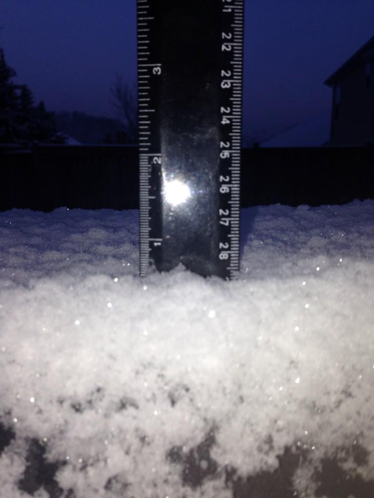
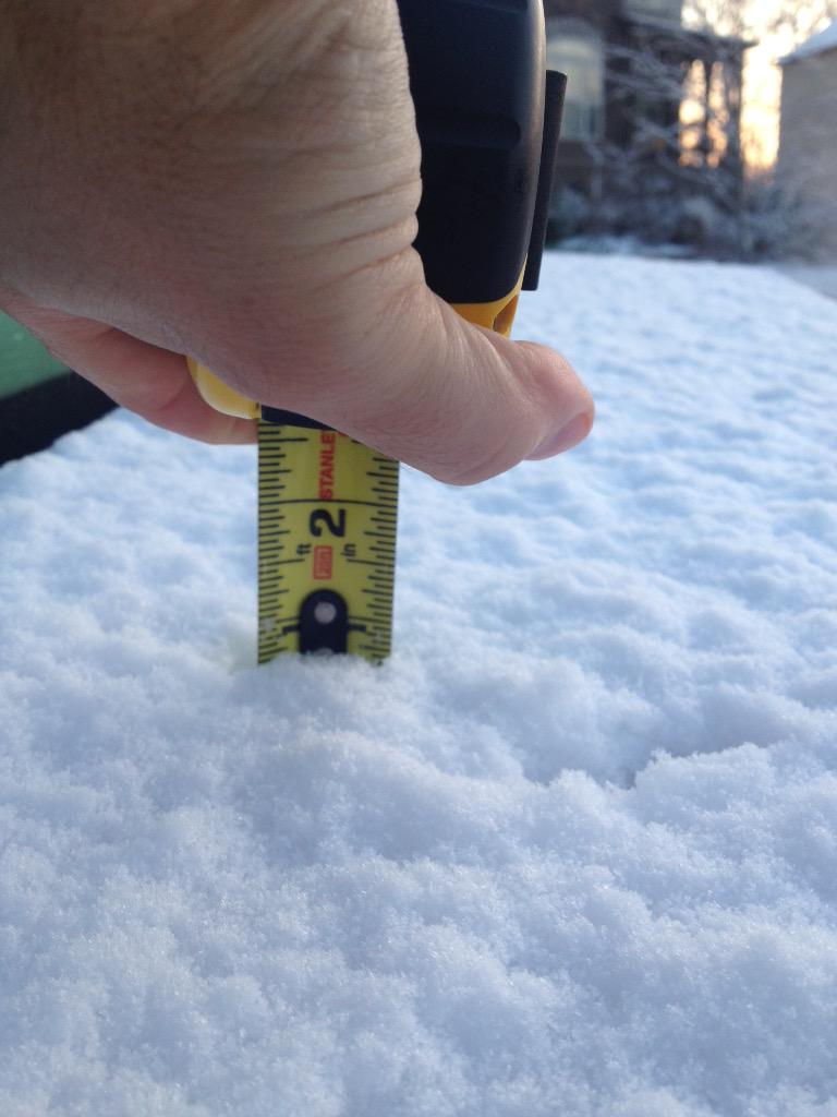
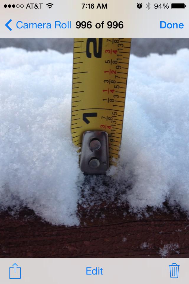
Friday night’s snow totals:
1/2″ in Bellevue:
Hermitage 3/4″:
Spring Hill got 3/4″:
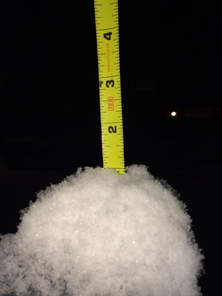
Nolensville, 1″ atop a mailbox post:
Almost 1″ in Franklin (another spotter reported 1″):
Current Temps and Radar
Friday — Rain. Snow? — Wake Up 35°, High 40°
As you can see from the above radar images, rain is approaching from the SW. We might see a few light showers south of I-40 overnight. By sunrise, precip is expected to arrive, continuing on and off, but mostly “on,” most of the day.
Current Temps and Radar
Today – Mostly Cloudy – High 49°
We will remain mostly cloudy and rain-free despite an approaching low pressure system spreading a few light showers in our general direction. We think the air will be too dry aloft for us to see rain today. Most of the showers will stay south near Tennessee’s border with Alabama and Mississippi.
Current Temps and Radar
Thursday – Clouds – Wake Up 33°, High 47°

Late Thursday night, the National Weather Service is giving us a slight chance for rain/snow. They believe that this “slight chance” will begin after 1 AM. After consulting the models it appears that Nashville will most likely stay snow free overnight and into Friday morning. The models think the precip won’t arrive until Friday after sunrise.