Current Temps and Radar
Click the above box for a full screen radar. Works on all browsers and platforms. Note: seeing “rain” during sunup/sundown? Usually just radar clutter.
We went 5° above today’s forecast high, hitting 67° on the hourly official check at 2:53 PM this afternoon.

Many times these mild temps are corrected by a massive cold front, capable of setting off severe weather. That’s not going to happen this time. Temps will moderate slowly, day by day, without severe weather.
Tuesday – Partly Sunny; Light Showers Possible Late – Wake Up 41° High 60°
We will be partly sunny and warm for most of the day.

During the afternoon, cloud cover will increase as moisture continues to build into Middle Tennessee ahead of a cold front.
As the cold front pushes through Nashville overnight, we will have the chance for light, garden variety showers. Here is a look at what the GFS is showing between 6 PM and Midnight.
No big deal.
Wednesday – Mostly Sunny – Wake Up 36°, High 55°
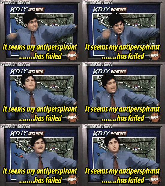
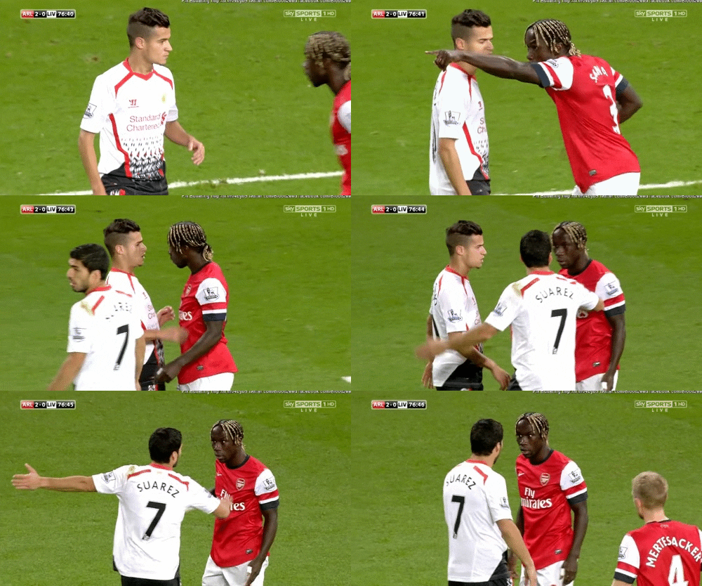
After the passage of the cold front, we will be a few degrees cooler, but still sunny and pleasant. Unlike these guys.

Overnight we will become mostly cloudy as temperatures will drop into the lower 30’s.
Extended:
The “maybe but almost definitely probably not” snow chance, which appeared in this morning’s weather data, is not there this afternoon.
The next “potentially but probably not I don’t believe it” chance of snow is around the beginning of next week when clipper systems are modeled to cruise into Middle and Eastern Tennessee.
This website supplements @NashSevereWx on Twitter, which you can find here.
Categories: Forecast Blogs (Legacy)


You must be logged in to post a comment.