Current Radar
Today we broke the record high for December 27, 76°, laying down the 75° set in 1982.
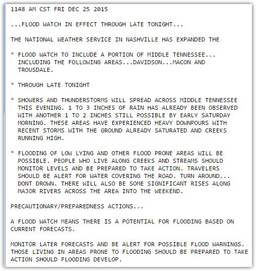
Flash Flood Watch
Rain should begin sometime late tonight, last into the wee hours of the morning, and continue in full force into the afternoon. Note this is not expected to be a continuous rain, but we’ve seen so much these past several days, we can’t take much more and avoid a flooding event. (This is NOTHING like what we saw in May 2010).