
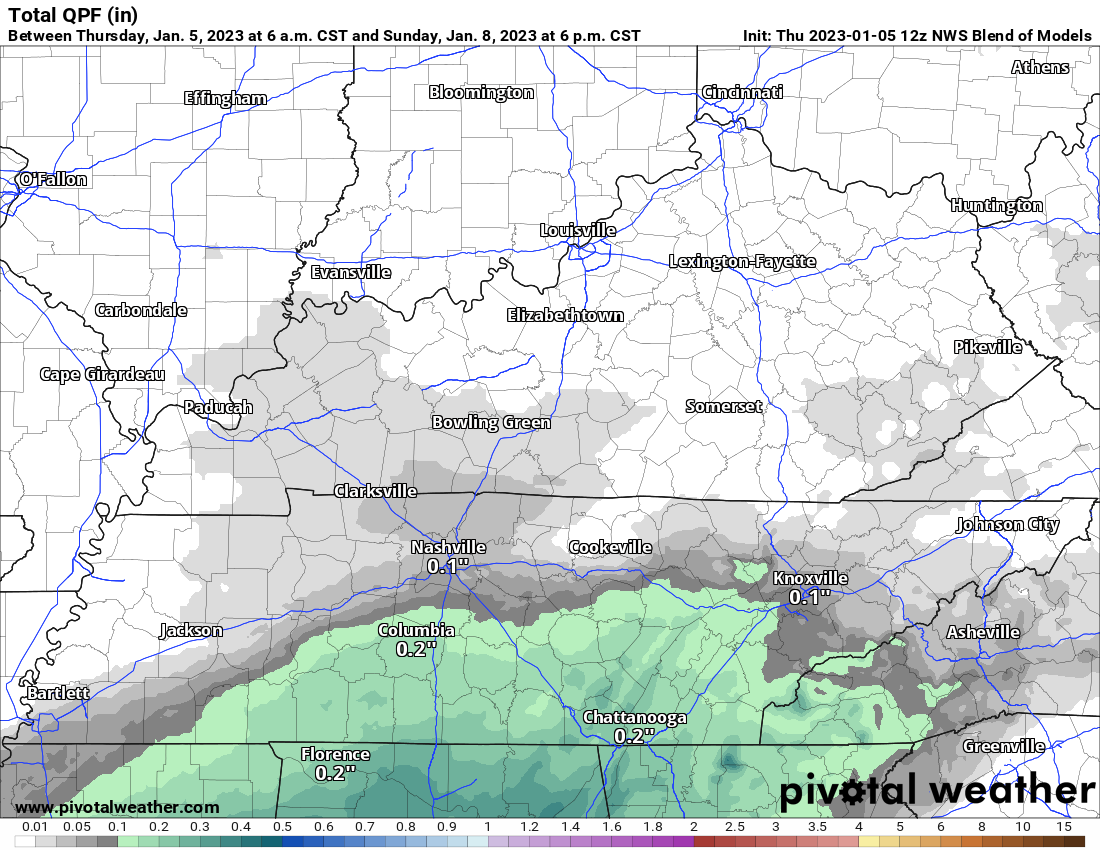
Minus the clouds and maybe occasional shower or drizzle, today won’t be too bad with highs in the mid 60’s.
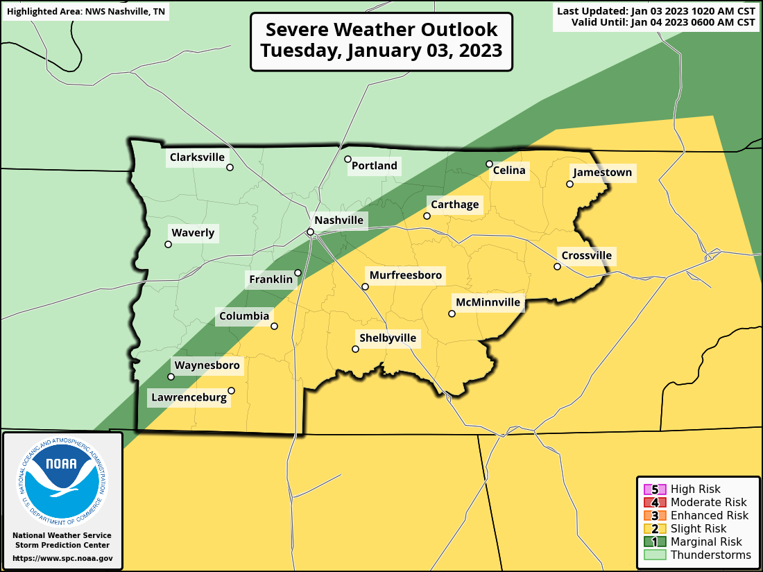
Tomorrow the Storm Prediction Center has outlooked both of our counites with:
- 5% chance of damaging straight-line winds within 25 miles
- 2% chance of a tornado within 25 miles
- we are not included in any hail risks
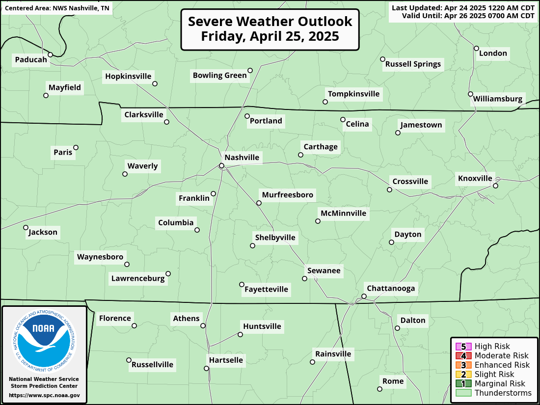
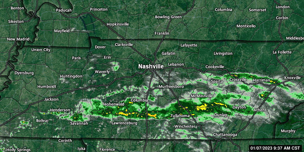
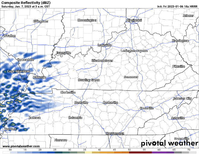
Models aren’t doing the best job of agreeing on this. The latest run of the HRRR model thinks the majority of the storms completely miss us tomorrow and we get away with maybe just some rain. Meanwhile, a couple other models disagree and think storms, possibly severe, do impact us.


You must be logged in to post a comment.