
Minus the clouds and maybe occasional shower or drizzle, today won’t be too bad with highs in the mid 60’s.
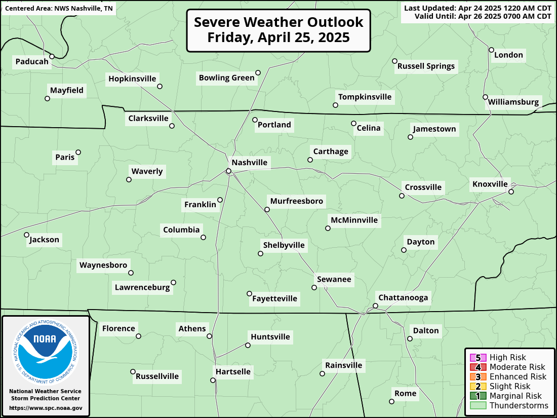
Tomorrow the Storm Prediction Center has outlooked both of our counites with:
- 5% chance of damaging straight-line winds within 25 miles
- 2% chance of a tornado within 25 miles
- we are not included in any hail risks
Models aren’t doing the best job of agreeing on this. The latest run of the HRRR model thinks the majority of the storms completely miss us tomorrow and we get away with maybe just some rain. Meanwhile, a couple other models disagree and think storms, possibly severe, do impact us.
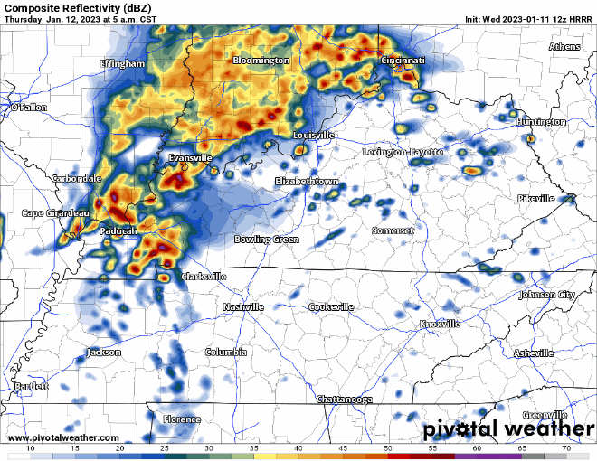
Again, HRRR model (above) thinks we dodge the storms. But, if this is wrong, and it very well may be, the timing of the storms looks to be 5-8am. Not ideal timing with morning rush hour. We’ll need to keep an eye on this, but I’m not freaking out. Hopefully the afternoon suite of models come into more agreement. We’ll be posting updates on Twitter as needed.
No real flash flooding concerns, rainfall totals look to be half an inch, if you’re lucky.
Friday morning, you may see a flurry or two, no impacts are expected as we should be above freezing. If you want to see snow, head to the Plateau. Very Blerg-like conditions on Friday.
After this system, temperatures will return to more seasonal values for a few days, before we warm back up to above-average temps by early next week. Rain chances look to creep up again around MLK day.
Quick References:
Weather changes constantly.
Follow @NashSevereWx on Twitter for any changes to this forecast.
Live coverage during tornado and severe thunderstorm warnings.

Look good.
Support the mission.

We are 100% community supported. No ads. No subscription fees. Keep it free for everyone.


Categories: Forecast Blogs (Legacy)
You must be logged in to post a comment.